171 m away
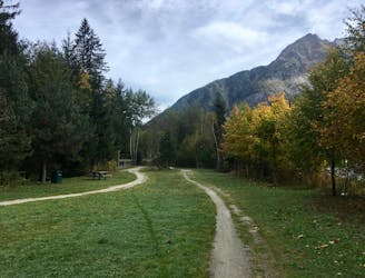
Petit Balcon Sud Loop
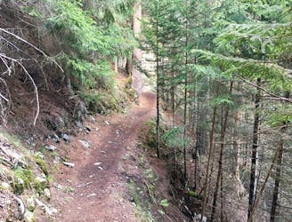
A short loop on one of the best sections of the Petit Balcon Sud trail.
Easy Trail Running
- Distance
- 7.7 km
- Ascent
- 235 m
- Descent
- 235 m
Link four lakes together while enjoying the view of the Chamonix valley.
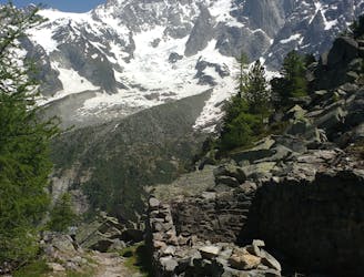
Trail Running Severe

This route can be rather challenging, but thanks to the extensive network of trails, it can be adapted in a number of ways to suit your tastes.
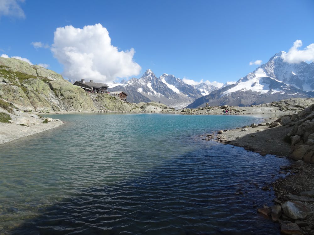
For instance, the climb to Lac Blanc can be cut in half by taking the Flégère cable car. If you choose not to take that option, follow the shaded trail that will eventually take you to a rather boring road for the last bit to La Flègère.
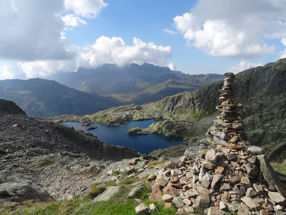
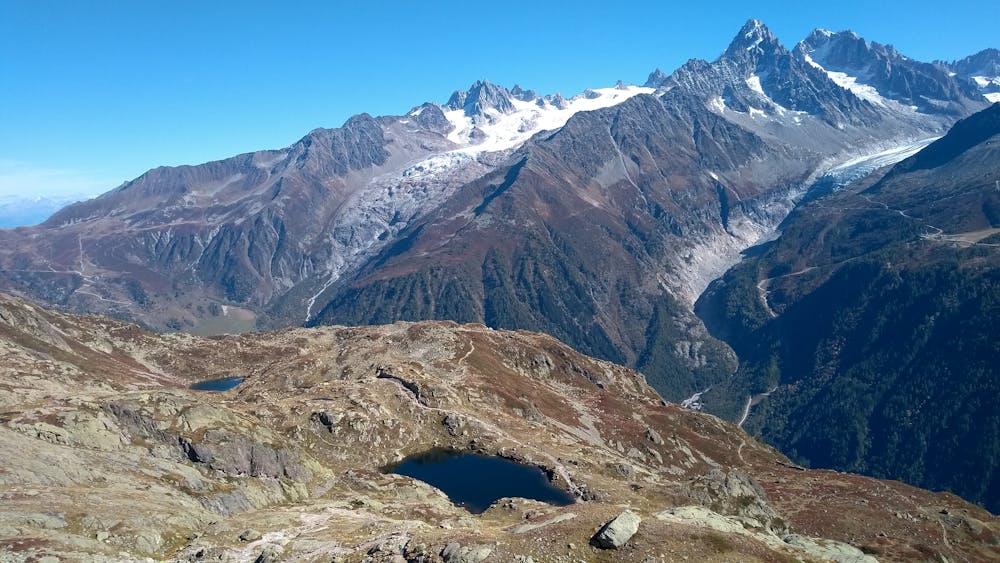
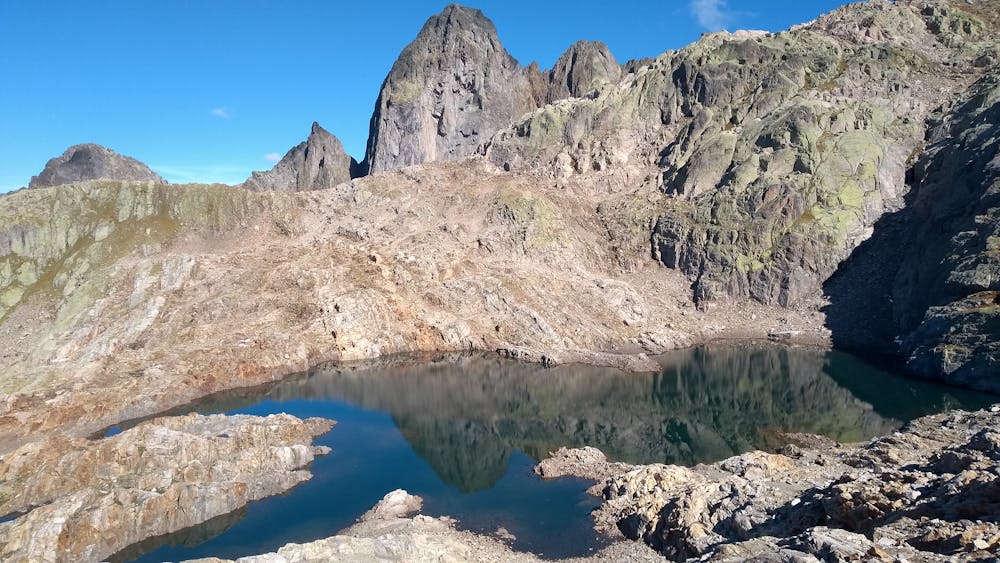
From there, a nice traversing trail with open views takes you to Tête aux Vents where you'll catch up with the throngs of hikers on the way to Lac Blanc. The first stop will be the Chéserys lakes, though. Then you'll need to climb a pair of steel ladders before a steep ascent in order to reach the second lake on your day's menu. Be sure to climb a bit higher than the lakes, as it's less crowded and the view is more majestic You might as well climb an extra 15 minutes to check out the smaller lac de Persévérance.
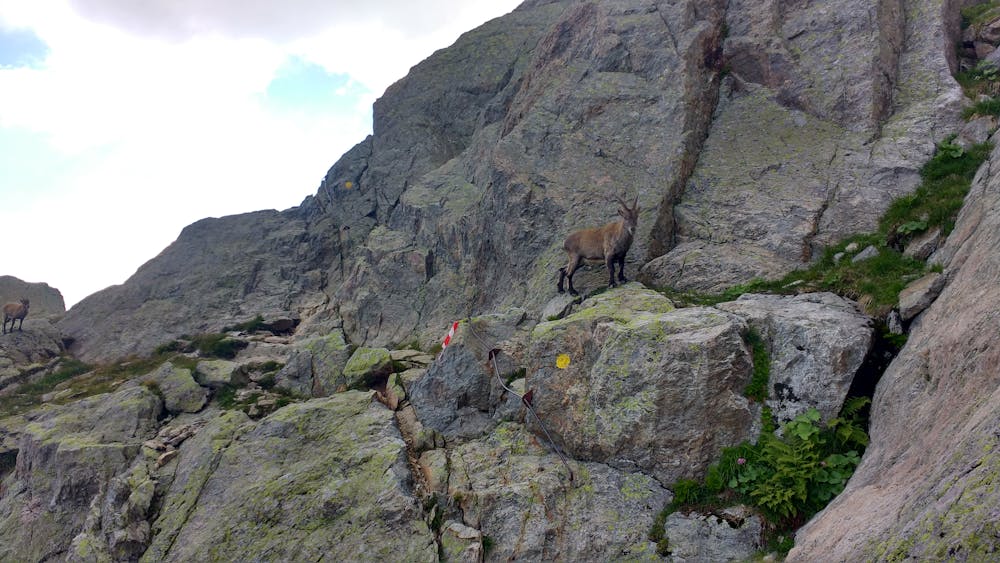
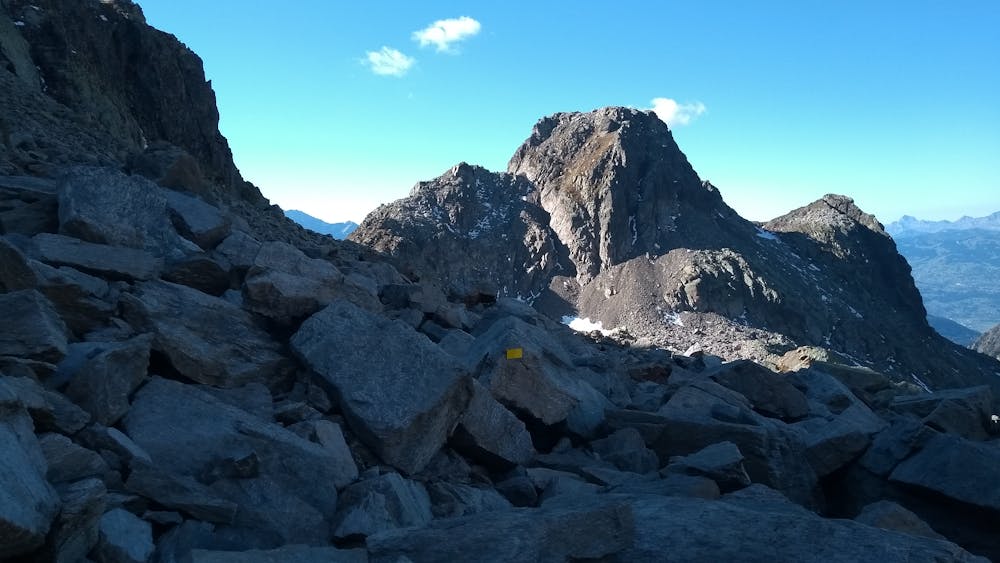
The next goal is the Col de la Glière, reached via a long and fairly technical trail that gets steeper once you've passed l'Index. The final few meters below the col are exposed, but steps and chains have been installed to assist hikers.
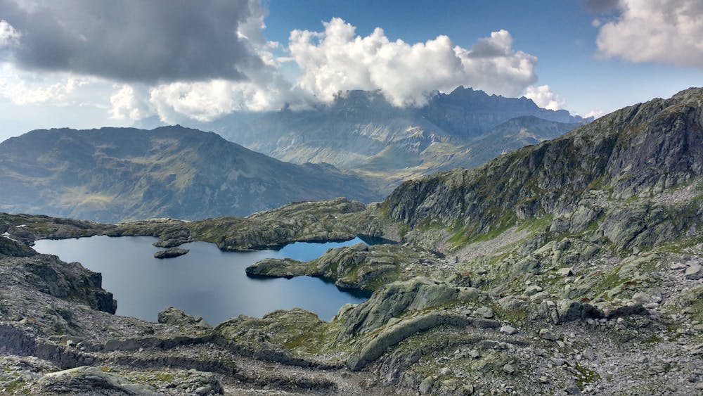
From the col, the Lacs Noirs are 15 minutes away. Otherwise, you can just keep going towards Lac Cornu through the most technical part of the route, consisting of huge rocks piled on top of each other. This part of the run should help you understand why the Trail des Aiguilles Rouges is considered by many to be the most difficult race in the area.
At the col, you'll have many options to choose from for the descent. The most enjoyable one follows a narrow technical trail to Planpraz, before retracing the vertical kilometer course for a while. Don't forget to take the left trail halfway down, as you'll want to follow the petit balcon sud trail in order to get back to the car park.
Severe

Some trail sections have exposed ledges or steep ascents/descents where falling could cause serious injury.

Close to help in case of emergency.
171 m away
A short loop on one of the best sections of the Petit Balcon Sud trail.
Easy Trail Running
1.5 km away
The easiest trail run in Chamonix.
Easy Trail Running
1.5 km away

Le mini cross est un petit trail pour les plus jeunes, de 800m à 3km en fonction des catégories.
Easy Trail Running
1.5 km away

le cross du Mont-blanc
Difficult Trail Running
1.6 km away

La course format 10k de l'événement
Moderate Trail Running
1.7 km away

A classic loop around the Chamonix Valley.
Easy Trail Running
2 km away
Enjoy the open vistas of the north balcony between Montenvers and Plan de l'Aiguille on vintage Chamonix trails.
Moderate Trail Running
2.2 km away
An amazing way to see some of the best view in Chamonix on foot.
Moderate Trail Running
2.4 km away

La plus longue coure du Marathon
Extreme Trail Running
2.4 km away

La course nocturne en binome
Difficult Trail Running

8 routes · Trail Running