94 m away
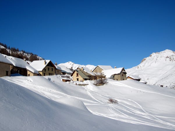
Les Neyzets

A steep slope with no-fall zones if the snow is hardpacked. Can either be wide open or a series of couloirs depending on your line.
Severe Freeride Skiing
- Distance
- 827 m
- Ascent
- 0 m
- Descent
- 381 m
Often wind affected, this slope, while short, can provide perfect conditions on its day and takes some time to get tracked out.
Freeride Skiing Difficult

The width of this slope is what makes it so enjoyable. You could spend a whole day going up and down it and never ski exactly the same line. Although it gets smashed by the wind, if it’s still then this slope can be magic. Getting to it requires a high traverse to the left of the steep section of the Col du Vent piste followed by a short hike (10 metres or so) up to the ridge above and the slope’s entry point. Once there, pick your line. It is mostly obvious from above where you can go but if in doubt, check the slope out from the Eychauda piste below first. There is the odd rock and ridge to break up the slope but route finding is pretty straightforward. Although not as classic as some of the lines in this area, Catex can be a good option once the nearby Neyzets and Montagnolle get tracked out. Or just if you’d like to try something different.
Difficult
Serious gradient of 30-38 degrees where a real risk of slipping exists.

As well as the slope itself, there are some obstacles (such as rock outcrops) which could aggravate injury.
Away from help but easily accessed.
94 m away
A steep slope with no-fall zones if the snow is hardpacked. Can either be wide open or a series of couloirs depending on your line.
Severe Freeride Skiing
162 m away

A Serre Chevalier classic. No hiking, just 1300 vertical metres of leg burning, big mountain riding.
Difficult Freeride Skiing
286 m away

A wonderful and technically accessible descent in a wild uninhabited valley outside the resort. You’ll need to arrange transport to get home.
Difficult Freeride Skiing
391 m away

Never far from the piste but with a wild feel to it
Difficult Freeride Skiing
854 m away

A beautiful wide open bowl leading into some wild and wonderful tree skiing
Difficult Freeride Skiing
1.3 km away

A steep, dynamic face, full of chutes and rocky ridges, that changes dramatically depending on snow levels.
Severe Freeride Skiing
1.3 km away

A steep, dynamic face, full of chutes and rocky ridges, that changes dramatically depending on snow levels.
Severe Freeride Skiing
1.3 km away

A steep, dynamic face, full of chutes and rocky ridges, that changes dramatically depending on snow levels.
Severe Freeride Skiing
1.3 km away

A narrow, steep couloir that isn’t always easy to access. A dream in the right conditions.
Severe Freeride Skiing
1.3 km away

Epic, wild terrain with tricky route finding. If in doubt, go with a local instructor or guide.
Difficult Freeride Skiing
10 routes · Freeride Skiing

15 routes · Freeride Skiing · Ski Touring