3 m away
Cucumelle West Face 2

A steep, dynamic face, full of chutes and rocky ridges, that changes dramatically depending on snow levels.
Severe Freeride Skiing
- Distance
- 678 m
- Ascent
- 0 m
- Descent
- 350 m
A narrow, steep couloir that isn’t always easy to access. A dream in the right conditions.
Freeride Skiing Severe

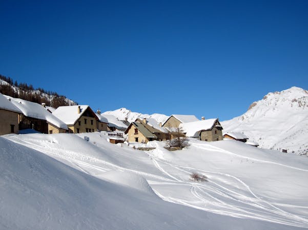
‘Coude’ means ‘Elbow’ in French and you can see why this couloir has been given this name when you look at it from the top of the Bachas chairlift (look up and left). Steep and narrow, this couloir should be approached with respect and is not somewhere you want to fall, especially if the snow is firm. The entrance can be tricky, sometimes beyond vertical because of a cornice, so check it out from below first and know when to say ‘no’. Getting to it can be a bit of an expedition in itself. From the summit of the Cucumelle (a 20-30 minute hike), follow the ridge to the NW. The ridge is not always easy to follow and you’ll sometimes need to pick your way through rocks and drop below the ridge to the right (east) from time to time. Take care not to get too close to the left edge as there can be hidden cornices hovering over huge cliffs. The entrance to the couloir is about 700 metres along the ridge from the summit of the Cucumelle. Once in the couloir the line down is obvious. After the bend to the left there can sometimes be exposed rocks and ice so make sure you take the line you’ve scoped out from below. Once out of the couloir, you can let the skis run a bit more on the wide open face that leads back to the Eychauda or Combe Rateau piste.
Severe
Steep skiing at 38-45 degrees. This requires very good technique and the risk of falling has serious consequences.

As well as the slope itself, there are some obstacles (such as rock outcrops) which could aggravate injury.

Little chance of being seen or helped in case of an accident.
3 m away
A steep, dynamic face, full of chutes and rocky ridges, that changes dramatically depending on snow levels.
Severe Freeride Skiing
3 m away

A steep, dynamic face, full of chutes and rocky ridges, that changes dramatically depending on snow levels.
Severe Freeride Skiing
5 m away

A steep, dynamic face, full of chutes and rocky ridges, that changes dramatically depending on snow levels.
Severe Freeride Skiing
11 m away

Epic, wild terrain with tricky route finding. If in doubt, go with a local instructor or guide.
Difficult Freeride Skiing
612 m away

A beautiful north facing open bowl followed by perfectly spaced larch trees.
Difficult Freeride Skiing
627 m away

A largely open, undulating descent in a huge southeast facing bowl – ideal for entry level off piste.
Moderate Freeride Skiing
713 m away

The other La Balme couloir – less well known, less skied and shorter than its illustrious neighbour but epic all the same.
Difficult Freeride Skiing
937 m away

An epic off piste run, mostly in well spaced larch trees. The route finding is very tricky though so going with an instructor or guide who knows the area well is preferable.
Moderate Freeride Skiing
976 m away

Classic steep couloir, enclosed on both sides by huge cliffs.
Severe Freeride Skiing
1.2 km away

Steep and often deep at the start then cruisy open glades lower down. The route finding is very tricky though so going with an instructor or guide who knows the area well is preferable.
Difficult Freeride Skiing
10 routes · Freeride Skiing

15 routes · Freeride Skiing · Ski Touring