15 m away
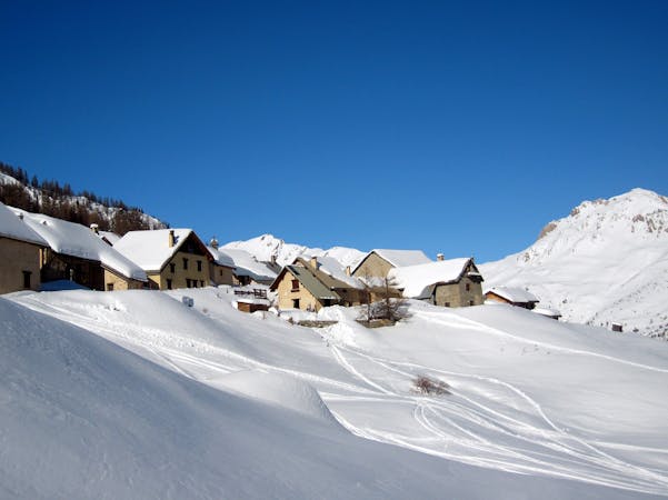
Cabane du Berger

A largely open, undulating descent in a huge southeast facing bowl – ideal for entry level off piste.
Moderate Freeride Skiing
- Distance
- 2.4 km
- Ascent
- 7 m
- Descent
- 573 m
A beautiful north facing open bowl followed by perfectly spaced larch trees.
Freeride Skiing Difficult

This is the most straightforward of the multitude of different routes accessible from the summit of the Cucumelle and is a suitable reward for the effort of the 20-30 minute hike up the Cucumelle ridge. The majority of the run is not steep – it’s steepest right at the start and then in the trees near the bottom, and as such can suffer if the powder is too deep (a nice problem to have) as after a certain point you just have to go straight to keep the speed up. Ideal conditions are 20-30 cm of fresh snow, at least for the section above the trees. The exact route you take will depend on snow conditions and the avalanche risk and while the east facing slopes to the far left can be fun, they are avalanche prone and funnel down into a serious terrain trap in the form of a steep sided gulley. The classic line is to stay on the central ridge and transition straight into the trees. The trees suddenly get significantly steeper and as a result can hold very deep snow. In deep powder this section of the run is about as good as tree skiing can get – truly world class. Like all good things it has to come to an end some time and you need to look for a left traverse at about 1900 metres altitude to take you back to the piste. A short scramble/walk/sidestep will see you safely back on the Rochamout piste in Monêtier. Job done now back round to do it all again.
Difficult
Serious gradient of 30-38 degrees where a real risk of slipping exists.

Exposure is limited to that of the slope itself. Getting hurt is still likely if the slope is steep and/or the snow is hard.

Little chance of being seen or helped in case of an accident.
15 m away
A largely open, undulating descent in a huge southeast facing bowl – ideal for entry level off piste.
Moderate Freeride Skiing
101 m away

The other La Balme couloir – less well known, less skied and shorter than its illustrious neighbour but epic all the same.
Difficult Freeride Skiing
609 m away

Epic, wild terrain with tricky route finding. If in doubt, go with a local instructor or guide.
Difficult Freeride Skiing
612 m away

A narrow, steep couloir that isn’t always easy to access. A dream in the right conditions.
Severe Freeride Skiing
613 m away

A steep, dynamic face, full of chutes and rocky ridges, that changes dramatically depending on snow levels.
Severe Freeride Skiing
614 m away

A steep, dynamic face, full of chutes and rocky ridges, that changes dramatically depending on snow levels.
Severe Freeride Skiing
614 m away

A steep, dynamic face, full of chutes and rocky ridges, that changes dramatically depending on snow levels.
Severe Freeride Skiing
757 m away

A perfect spot for less experienced off piste skiers with a sense of adventure.
Moderate Freeride Skiing
1.1 km away

A fun open face with a couple of short chute options. The climb to ski ratio is not that favourable though.
Moderate Freeride Skiing
1.1 km away

Short and sometimes technical lines splitting the rocks on La Balme’s north face.
Difficult Freeride Skiing
10 routes · Freeride Skiing

15 routes · Freeride Skiing · Ski Touring