15 m away
Vallon des Corneilles / Les Grands Prés

A beautiful north facing open bowl followed by perfectly spaced larch trees.
Difficult Freeride Skiing
- Distance
- 2.7 km
- Ascent
- 182 m
- Descent
- 811 m
A largely open, undulating descent in a huge southeast facing bowl – ideal for entry level off piste.
Freeride Skiing Moderate

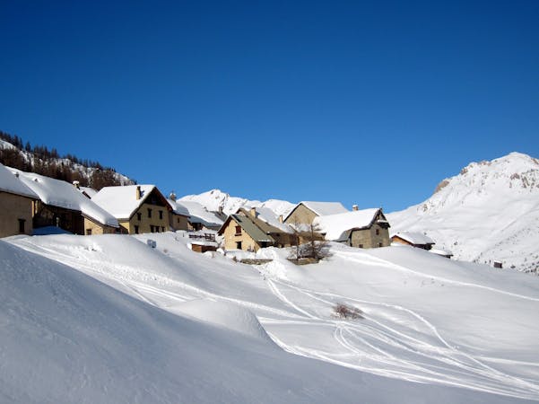
In 20cm or less of fresh snow or in spring snow, the Cabane du Berger is the place to head, especially if you’re just getting to grips with skiing off piste. The wide open bowl with its deep gulleys and rounded ridges is suitable for anyone who is confortable on all marked runs and provides a relatively relaxing respite from the steeper, more exposed lines in the surrounding area. While snowboarders, especially if you’re regular stance, may wish to climb the first bump of the Cucumelle ridge (10 minutes) to avoid the lengthy traverse, skiers can cut immediately under the Vallons chairlift and stay on the highest possible traverse for more or less as far as you can go. The whole slope is skiable but as it is straightforward route finding, heavily skied and more or less always in sight of the piste, it is not dealt with here. By traversing round as far as possible you eventually end up near an alpine cabin, in fact a shepherd’s hut (the French name of the run translates as shepherd’s cabin). The open and mostly gentle slopes are the highlight of this run, though the trees below can be very good on their day too. You will come out at the alpine village of Fréjus and reach a piste in the shape of the green run, Route de Fréjus. If you’re far enough to the right you can get back onto the Vallons chairlift for another run or stop off for a well earned drink at the Pi Mai restaurant.
Moderate
Slopes become slightly steeper at around 25-30 degrees.

Exposure is limited to that of the slope itself. Getting hurt is still likely if the slope is steep and/or the snow is hard.

Away from help but easily accessed.
15 m away
A beautiful north facing open bowl followed by perfectly spaced larch trees.
Difficult Freeride Skiing
87 m away

The other La Balme couloir – less well known, less skied and shorter than its illustrious neighbour but epic all the same.
Difficult Freeride Skiing
624 m away

Epic, wild terrain with tricky route finding. If in doubt, go with a local instructor or guide.
Difficult Freeride Skiing
627 m away

A narrow, steep couloir that isn’t always easy to access. A dream in the right conditions.
Severe Freeride Skiing
628 m away

A steep, dynamic face, full of chutes and rocky ridges, that changes dramatically depending on snow levels.
Severe Freeride Skiing
629 m away

A steep, dynamic face, full of chutes and rocky ridges, that changes dramatically depending on snow levels.
Severe Freeride Skiing
629 m away

A steep, dynamic face, full of chutes and rocky ridges, that changes dramatically depending on snow levels.
Severe Freeride Skiing
742 m away

A perfect spot for less experienced off piste skiers with a sense of adventure.
Moderate Freeride Skiing
1.1 km away

A fun open face with a couple of short chute options. The climb to ski ratio is not that favourable though.
Moderate Freeride Skiing
1.1 km away

Short and sometimes technical lines splitting the rocks on La Balme’s north face.
Difficult Freeride Skiing
10 routes · Freeride Skiing

15 routes · Freeride Skiing · Ski Touring