829 m away
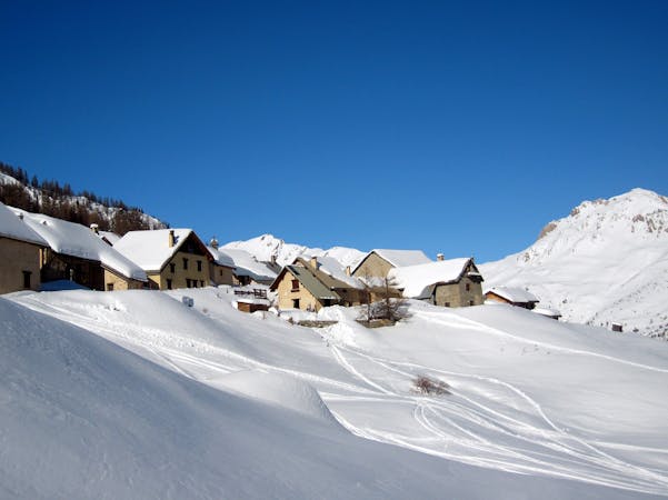
Les Combes from Serre Chevalier

Cruisy skiing and breathtaking scenery in a nature reserve that is entirely outside the resort’s boundary.
Difficult Freeride Skiing
- Distance
- 1.5 km
- Ascent
- 1 m
- Descent
- 418 m
Big cliffs and steep, technical lines. Experts only in this complex and exposed area.
Freeride Skiing Severe

The Rocher Blanc area is really just a series of cliffs with a mixture of lines running through or over them. Some are makeable, some aren’t. It is impossible to describe them all here but if you like complicated route finding in rocky, sometimes technically challenging terrain then this area is worth a visit. The area changes character year on year depending on snow and weather conditions but there is always something to challenge even the best skiers and snowboarders. The lines are short and definitely require scoping out from below first but they are rewarding when done right. From the top of the Bois des Coqs button lift, turn left and traverse under the Rocher Blanc cliff face. You’ll need to side step up a little bit to get over the lower cliff band. Then it’s simply a question of picking your line and going. It is vital you get your line right here as there are some big cliffs should you take a wrong turn or fall in the wrong place.
Severe
Steep skiing at 38-45 degrees. This requires very good technique and the risk of falling has serious consequences.

As well as the slope itself, there are some obstacles (such as rock outcrops) which could aggravate injury.
Away from help but easily accessed.
829 m away
Cruisy skiing and breathtaking scenery in a nature reserve that is entirely outside the resort’s boundary.
Difficult Freeride Skiing
1.2 km away

A wide, gently undulating off piste slope suitable for less advanced off piste riders.
Moderate Freeride Skiing
1.3 km away

Big mountain ambiance north facing couloir followed by top quality tree skiing.
Difficult Freeride Skiing
1.5 km away

A short dynamic rock band with jumps, straight and technical lines galore – for experts only.
Severe Freeride Skiing
1.5 km away

A short dynamic rock band with jumps, straight and technical lines galore – for experts only.
Severe Freeride Skiing
1.5 km away

A short dynamic rock band with jumps, straight and technical lines galore – for experts only.
Severe Freeride Skiing
1.6 km away

Not good all that often but when it’s on there’s almost nothing better.
Difficult Freeride Skiing
1.7 km away

A wide open line for less experienced off piste riders. Particularly good in spring snow conditions.
Difficult Freeride Skiing
1.7 km away

A glorious couloir and technically the easiest of the Prorel’s couloirs. To cap it off it transitions into some fantastic tree skiing.
Difficult Freeride Skiing
1.7 km away

A highly visible couloir from the Chantemerle and Villeneuve ski areas. Good but poor ski to hike ratio.
Severe Freeride Skiing
10 routes · Freeride Skiing