2.2 km away
Grande Sagne South Couloir
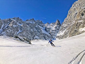
A stunning line in the high Écrins
Severe Ski Touring
- Distance
- 8.6 km
- Ascent
- 1.6 km
- Descent
- 1.6 km

A relatively easy skin with a steepening to the final col before a nearly 2000m descent to finish.
Ski Touring Difficult

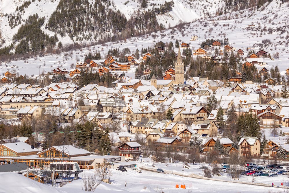
After the preceding week you will be well acclimatised for this final, mainly downhill day. The day starts with about 800m of steady skinning to get to the Col de Monetier. Skin straight from the hut, heading NNE the E, steadily gaining height. At about 3050m the track heads to the N, more steeply, before flattening off at about 3250m. The final section to the col is usually done on foot with crampons on, on exposed snowy ramps leading through the rocks, known as the vire de Monetier. The view from the Col de Monetier, at 3339m is quite something. Behind you are the N faces of the Pelvoux, Pic Sans Nom and the Ailefroide. Savour the moment and enjoy this final fitting highpoint of your amazing week-long journey. Below lies the Vallon de Tabuc, that will eventually lead you down to civilisation. There is sometimes a short steep down-climb, before putting skis on. Descend SE from the col initially on easy open slopes, which steepen slightly, before easing off at about 3100m. Here the route turns to the L, looking for the steep entry point to the crucial link to the valley below, at about 2970m, through the rocks. The passage of other skiers before will make this easier. Once beyond this steep but relatively short section the Vallon de Tabuc opens up below. You can relax here and enjoy big wide open turns. There is no further steep ground and you are off glaciated terrain. Eek out the remaining snow as you descend down the valley bottom, sometimes on foot towards the end, crossing the stream and heading out R to the lift station at Monetier les Bains.
Difficult
Serious gradient of 30-38 degrees where a real risk of slipping exists.
2.2 km away

A stunning line in the high Écrins
Severe Ski Touring
2.5 km away
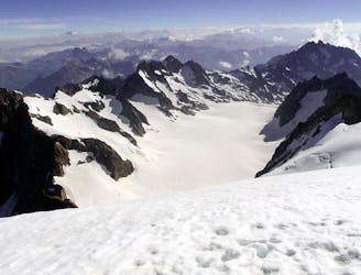
A famous ski mountaineering day, to the ski summit of the Dome des Ecrins (4015m) before a descent to the Glacier Blanc Hut
Severe Ski Touring
6.3 km away
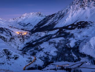
Ascent of la Grande Ruine before a huge descent
Severe Ski Touring
6.9 km away
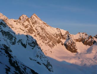
A crucial link up a complex glacier through a high col, with an optional peak
Severe Ski Touring
7.8 km away
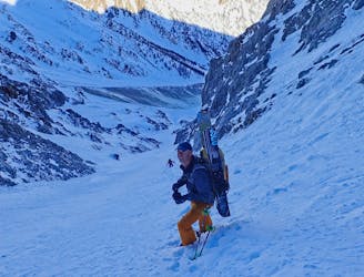
A local classic couloir, a must for any steep skier.
Severe Ski Touring
9.6 km away
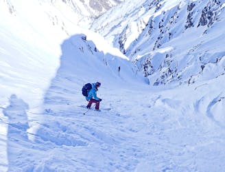
Classic couloir skiing in an amazing place.
Severe Ski Touring
9.6 km away
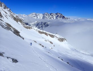
A short tour with the use of an uplift.
Difficult Ski Touring
9.8 km away
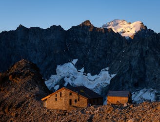
A long climb to a high col with amazing views, then a traverse to a high hut- into the wilderness!
Severe Ski Touring
9.9 km away
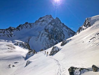
A long traverse for a cool couloir.
Severe Ski Touring
10 km away
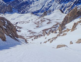
A great couloir that is quick to access, with cool skiing.
Severe Ski Touring
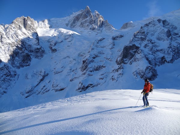
7 routes · Ski Touring