112 m away
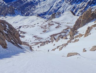
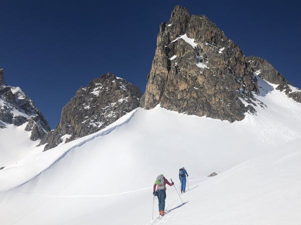
Montagne de Chailol
A mini adventure over an incredibly well-positioned peak.
Severe Ski Touring
- Distance
- 5.5 km
- Ascent
- 727 m
- Descent
- 746 m
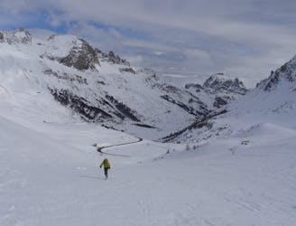
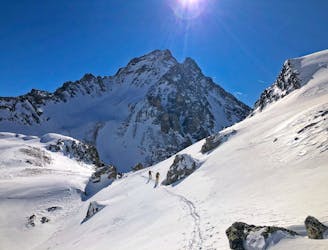
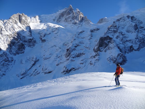
Pic w du combeynot-Antecime w : Face N/NE couloir Shahshahani
Ski Touring Extreme

This is a popular ski touring route which is generally considered to be extreme. It's not remote, it features medium exposure (e2) and is typically done between December and May. From a low point of 2.1 km to the maximum altitude of 3.1 km, the route covers 3 km, 1041 vertical metres of ascent and 15 vertical metres of descent. It's graded 4.2 and Labande grade 5. You'll need rope, ice axe and crampons to complete it safely.
Difficult way not in condition all off season
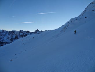
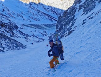
Extreme
Extreme skiing terrain above 45 degrees. These routes are reserved for experienced experts.

As well as the slope itself, there are some obstacles (such as rock outcrops) which could aggravate injury.

Close to help in case of emergency.
112 m away
A mini adventure over an incredibly well-positioned peak.
Severe Ski Touring
147 m away
A classic tour up surely one of the best located mountains in the southern Alps.
Difficult Ski Touring
4.5 km away
A crucial link up a complex glacier through a high col, with an optional peak
Severe Ski Touring
5.1 km away
A great couloir that is quick to access, with cool skiing.
Severe Ski Touring
5.1 km away
A long traverse for a cool couloir.
Severe Ski Touring
8.1 km away
A local classic couloir, a must for any steep skier.
Severe Ski Touring
8.7 km away
Ascent of la Grande Ruine before a huge descent
Severe Ski Touring
9.6 km away

The iconic ski peak of the area. A must do summit with incredible views and a big spring descent to a brilliant hut.
Difficult Ski Touring
9.8 km away
A famous ski mountaineering day, to the ski summit of the Dome des Ecrins (4015m) before a descent to the Glacier Blanc Hut
Severe Ski Touring
7 routes · Ski Touring
4 routes · Ski Touring