Auberge des Alllieres loop under Pic Saint Michel
Grenoble
Easy loop with a view around the Auberge des Aillieres
Hiking Moderate
- Distance
- 6.6 km
- Ascent
- 284 m
- Descent
- 284 m
- Duration
- 1-2 hrs
- Low Point
- 1.4 km
- High Point
- 1.6 km
- Gradient
- 12˚

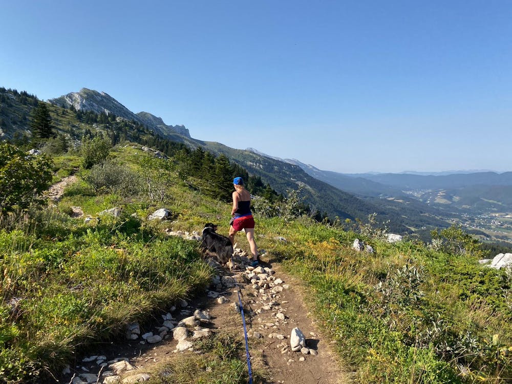
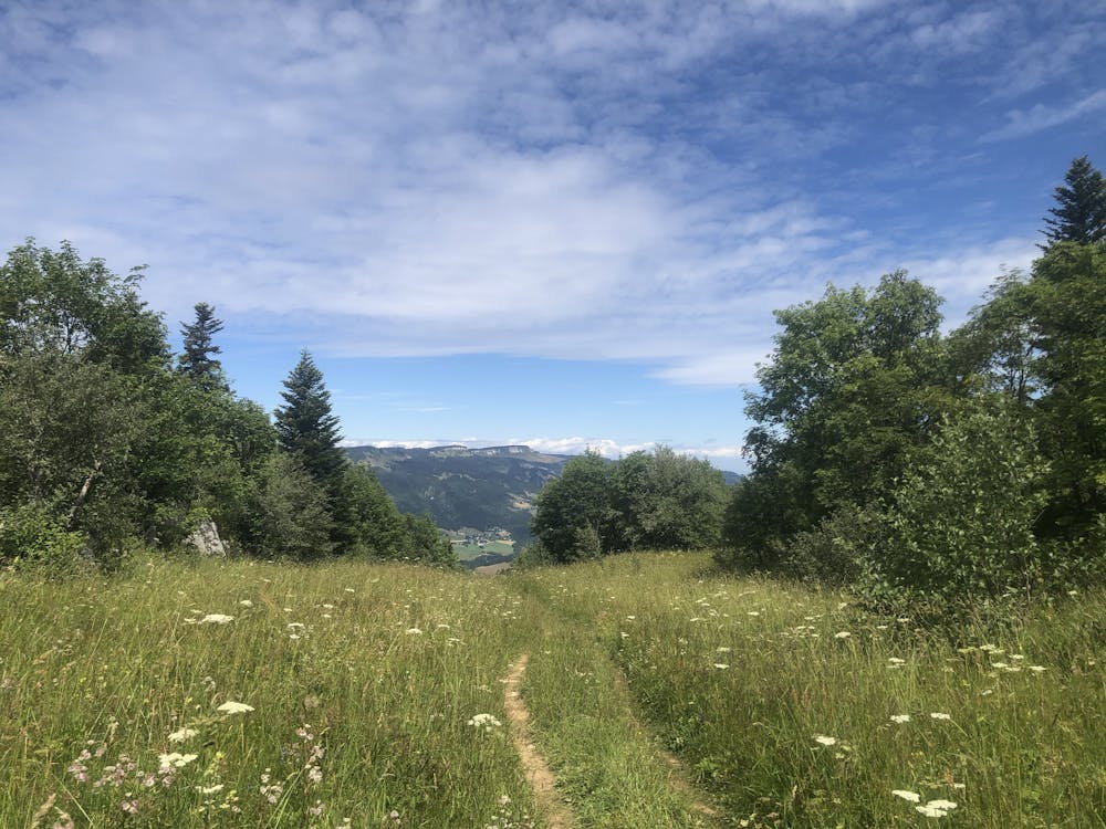
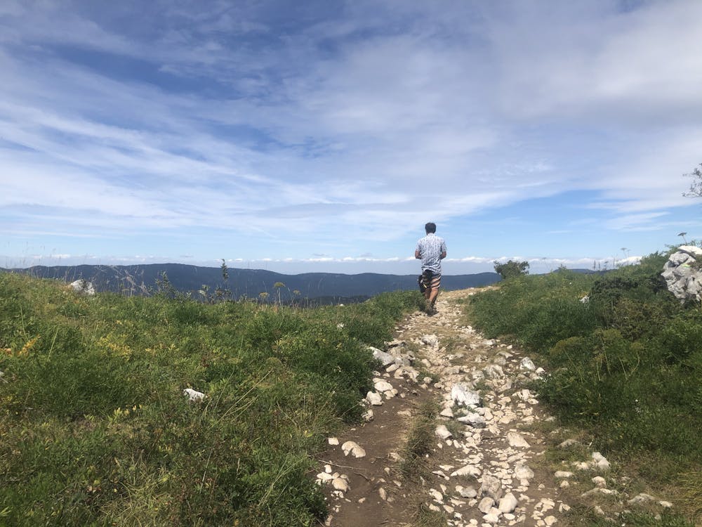
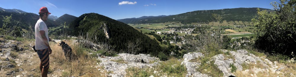
Great short hike from the ski resort car park, ascends to very pretty and mellow alpine terrain above Lans en Vercors. With stunning views towards Pic Saint Michel and a little later then down to the Vercors valley. A short but fairly steep and loose descent brings you out onto a small open plateau that contains one of the best refuges of the area. Follow the easy 4x4 track back to carpark, passing one of the local climbing crags en route.
- •
- •
- •
- •
Difficulty
Moderate
Hiking along trails with some uneven terrain and small hills. Small rocks and roots may be present.
Low Exposure

The path is on completely flat land and potential injury is limited to falling over.
Remoteness
Close to help in case of emergency.
Best time to visit
Features
- Alpine
- Wildlife
- Picturesque
- Summit Hike
- Dog friendly
- Wild flowers
- Family friendly