Charmant Som loop
Grenoble
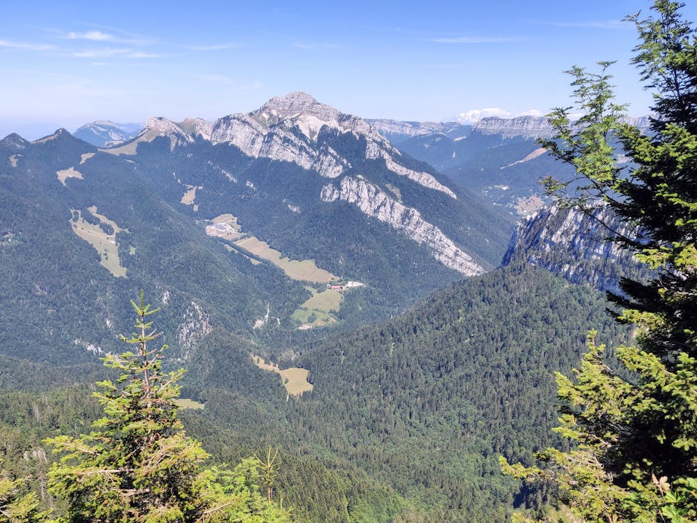
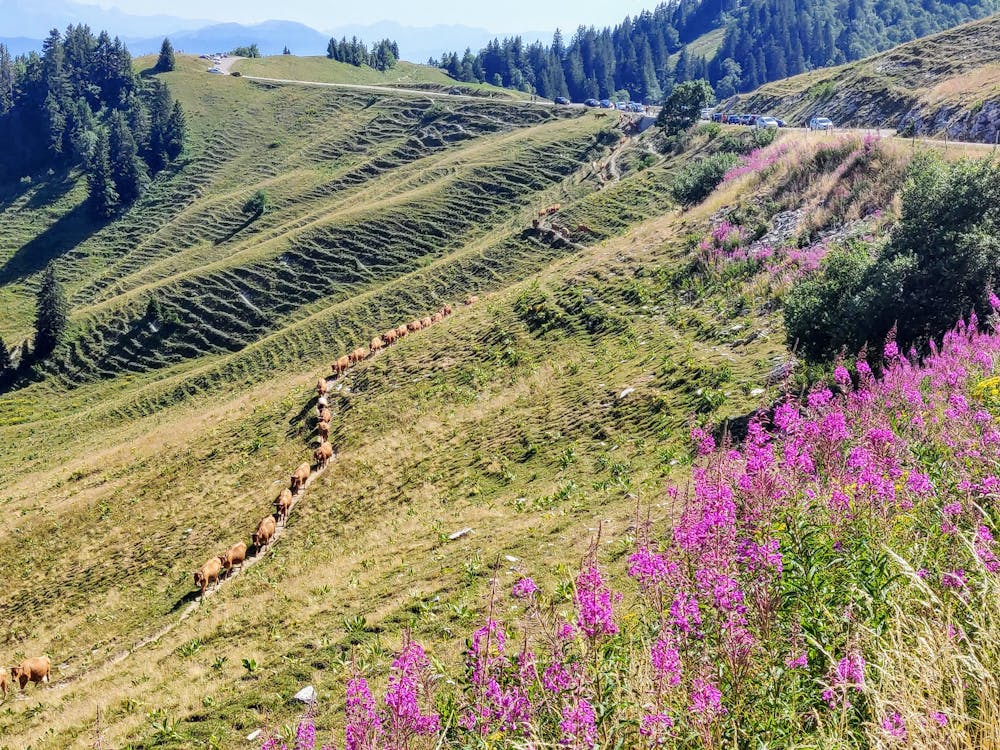
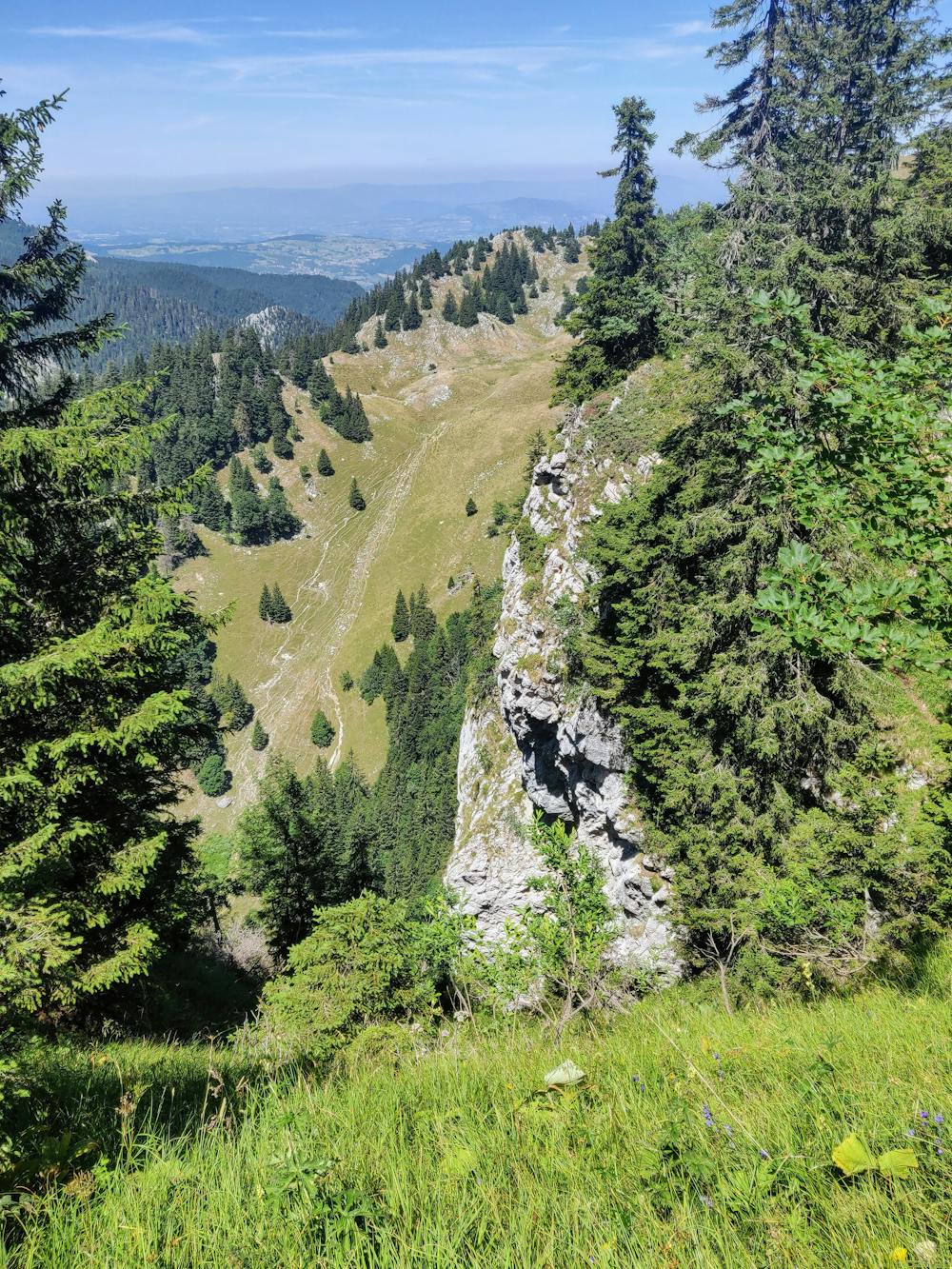
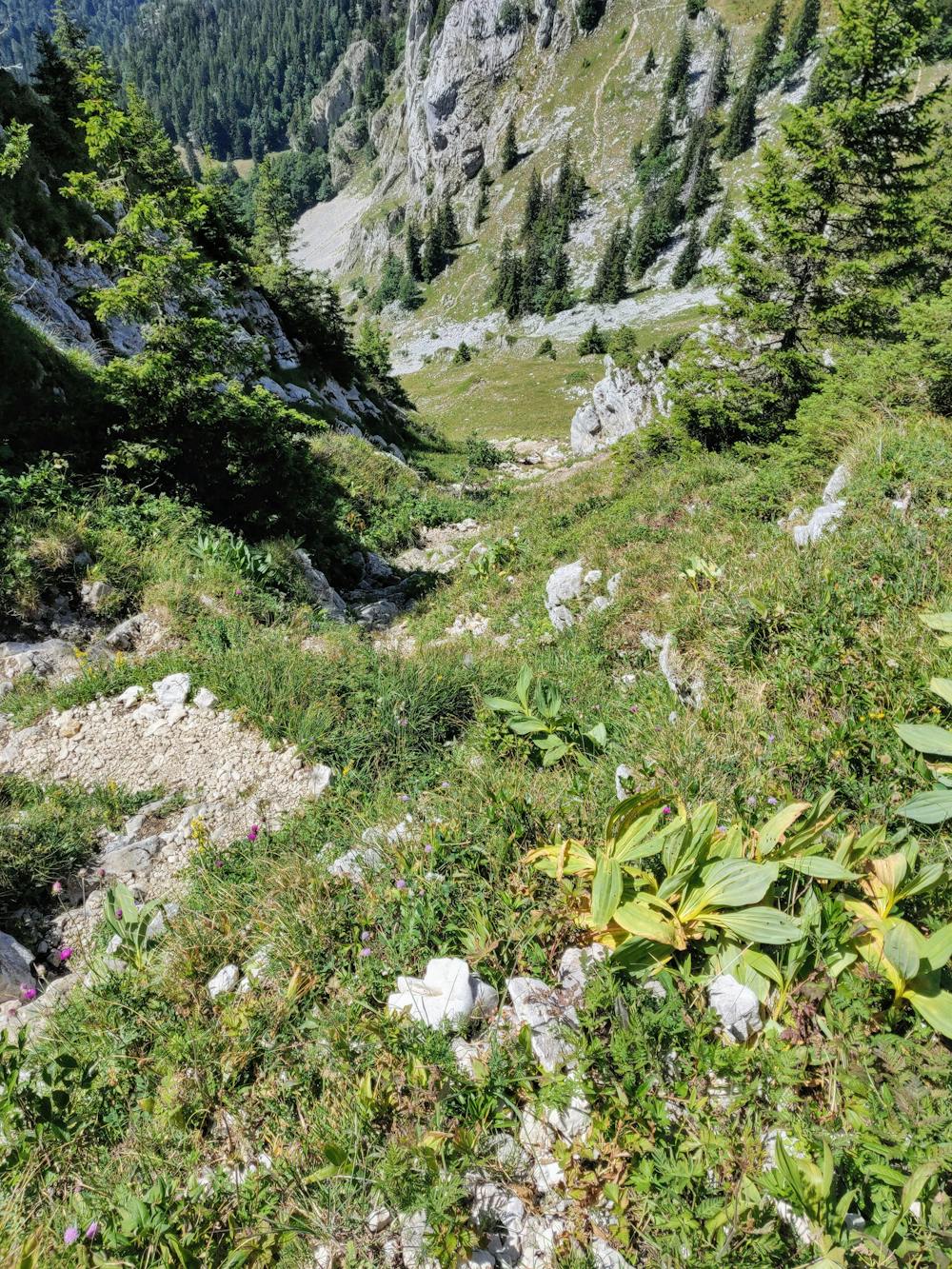
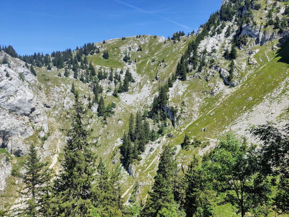
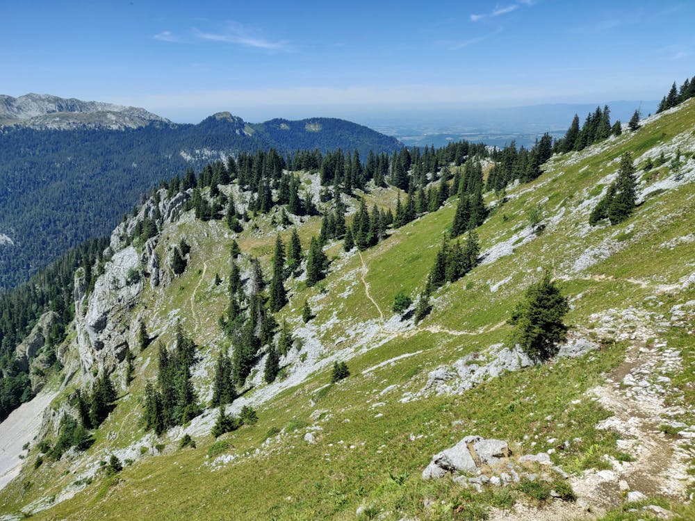
Rather than taking the traditional up and down Charmant Som rout from the car park, why not rtake in a less travelled route around the western side to see the surroundings from a new perspective. Some scrambling required. No dogs allowed on Charmant Som during the summer.
Hiking Moderate
- Distance
- 3.7 km
- Ascent
- 318 m
- Descent
- 318 m
- Duration
- 1-2 hrs
- Low Point
- 1.6 km
- High Point
- 1.9 km
- Gradient
- 12˚

This is a popular hiking route which is generally considered to be moderate. It's not remote, it features medium exposure and is typically done between June and October. From a low point of 1.6 km to the maximum altitude of 1.9 km, the route covers 3.7 km, 318 vertical metres of ascent and 318 vertical metres of descent.


Description
Views to the monastery
Difficulty
Moderate
Hiking along trails with some uneven terrain and small hills. Small rocks and roots may be present.
Medium Exposure

The trail contains some obstacles such as outcroppings and rock which could cause injury.
Remoteness

Close to help in case of emergency.
Best time to visit
Features
- Alpine
- Picturesque
- Summit Hike
- Family friendly