Geve to Pic Orient to Refuge le Banc de l'Ours
Grenoble
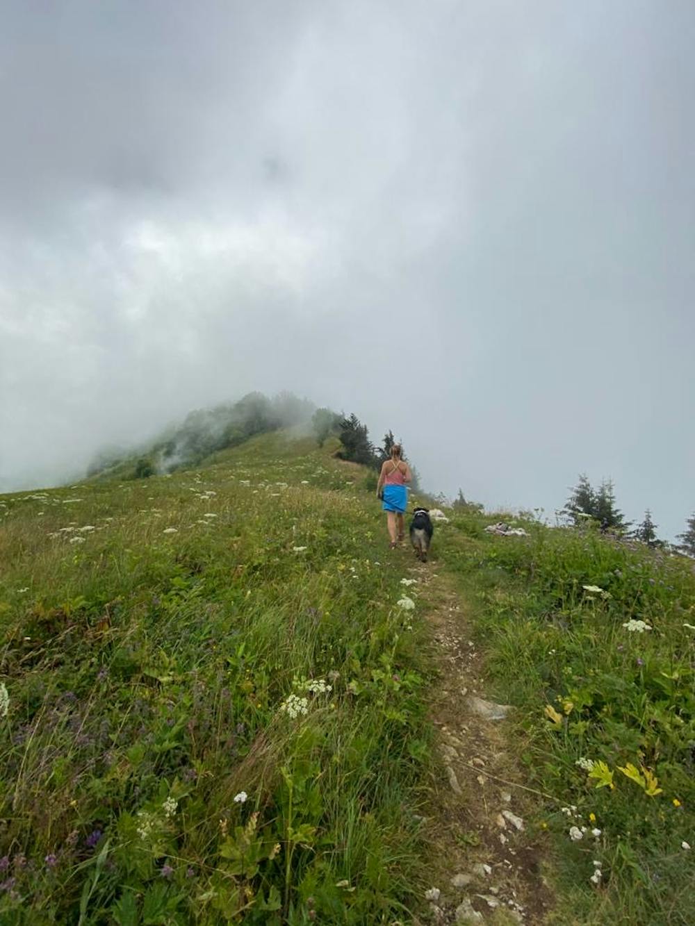
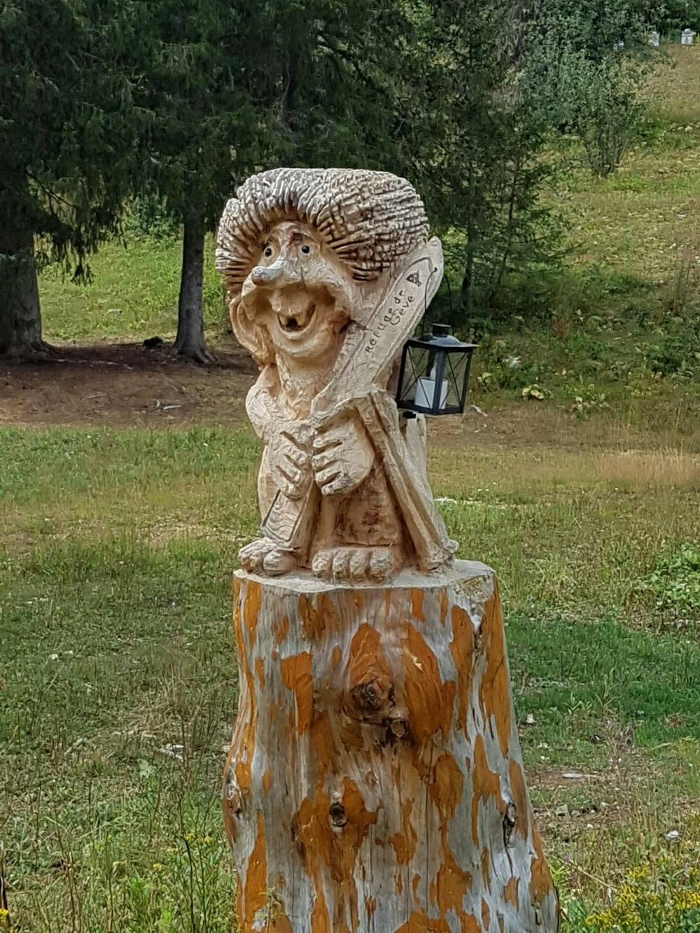
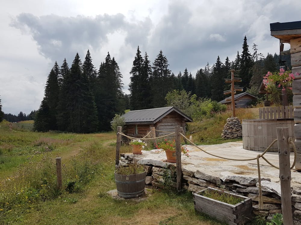
Mini summit and ridge hike with two lovely refuges
Hiking Moderate
- Distance
- 17 km
- Ascent
- 602 m
- Descent
- 602 m
- Duration
- 4-5 hrs
- Low Point
- 1.1 km
- High Point
- 1.6 km
- Gradient
- 8˚

Starting at the Autrans cross country ski park, and reaching the first Refuge Geve very quickly the route then winds up through the trees to the Pic Orient, where sheer drops offer views in the direction of Lyon. Continuing back along the ridge towards Autrans the path drops back into the trees and follows along a wide valley track to reach the second refuge Le Banc de l'Ours, great views from the refuge across the Autrans and Meaudre valley. The route loops back through fields and more woodland to the car park.
- •
- •
- •
Difficulty
Moderate
Hiking along trails with some uneven terrain and small hills. Small rocks and roots may be present.
Medium Exposure

The trail contains some obstacles such as outcroppings and rock which could cause injury.
Remoteness

Close to help in case of emergency.
Best time to visit
Features
- Wildlife
- Picturesque
- Summit Hike
- Dog friendly
- Wild flowers
- Forestry or heavy vegetation