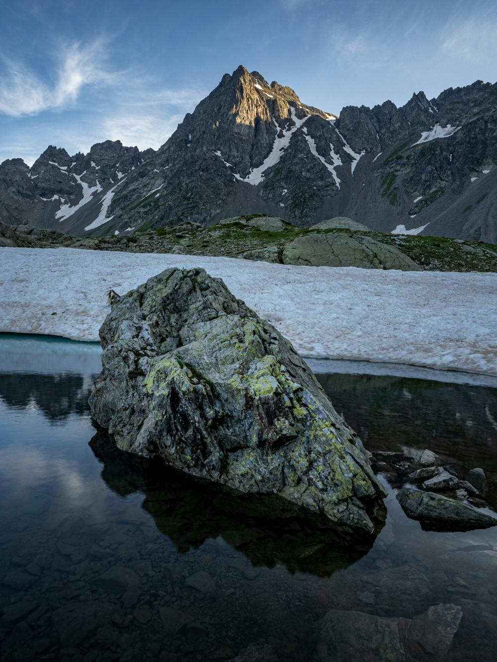
Lac de Belledonne
Grenoble
Optionally returning via Chalet du Rif Premier
Hiking Moderate
- Distance
- 8.9 km
- Ascent
- 1.1 km
- Descent
- 324 m
- Duration
- 3-4 hrs
- Low Point
- 1.3 km
- High Point
- 2.2 km
- Gradient
- 19˚

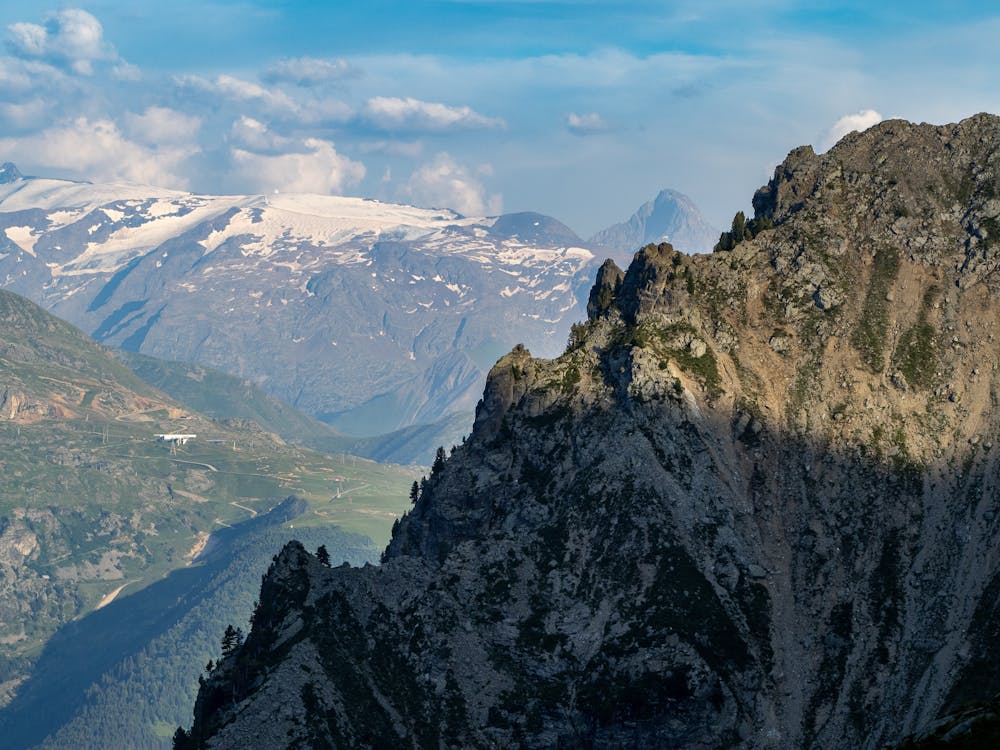
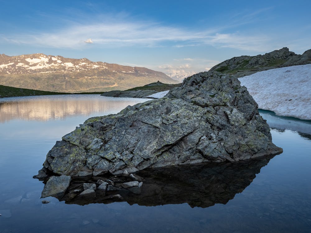
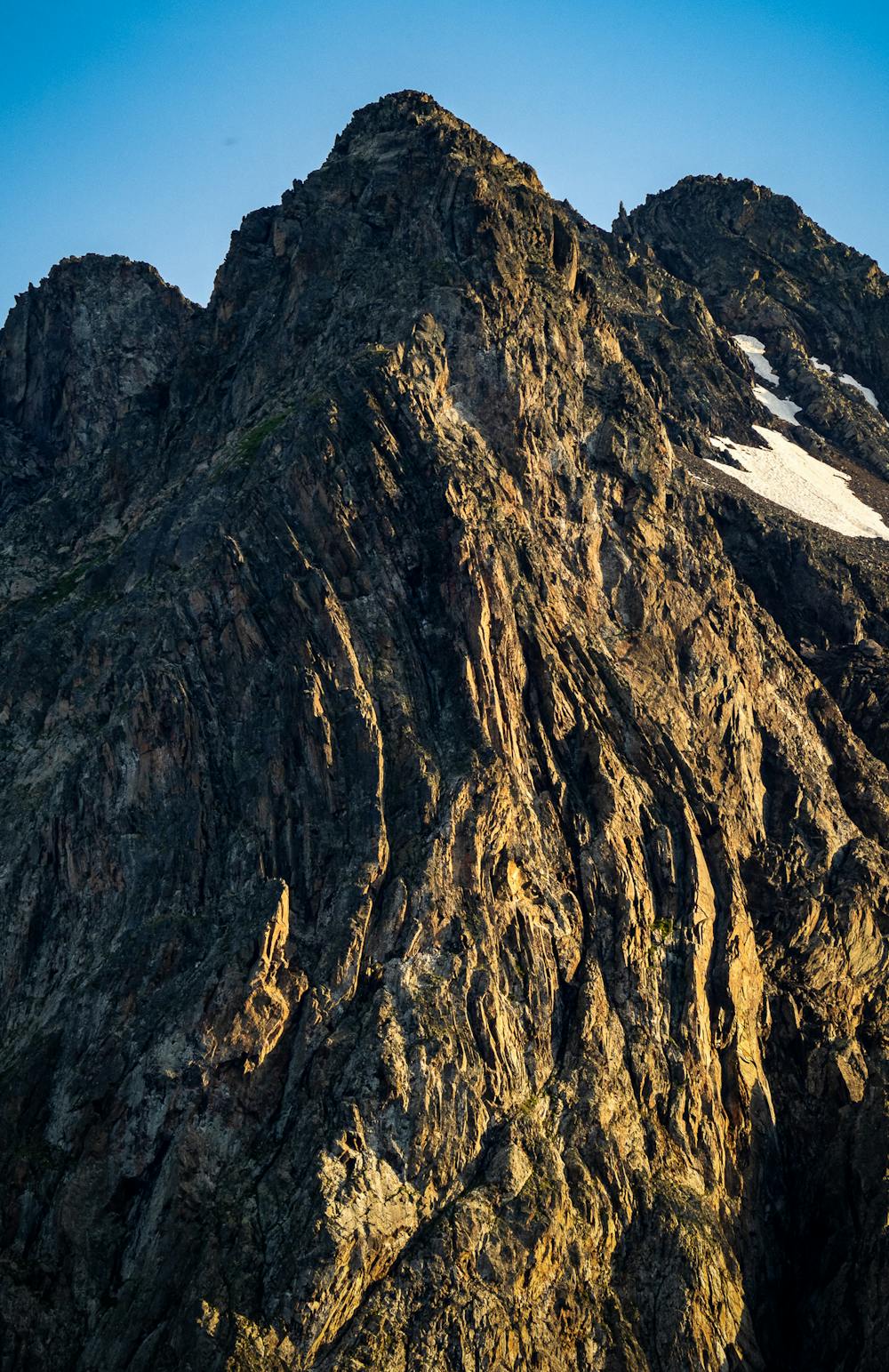
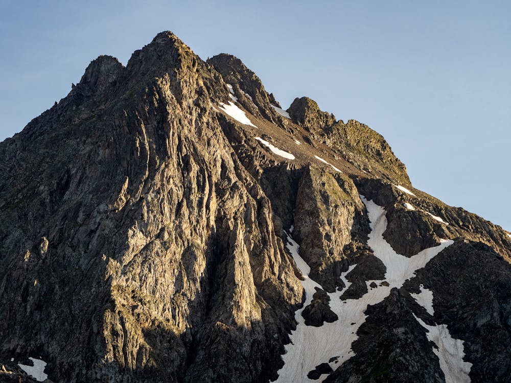
East facing lake under the Croix de Belledonne
- •
- •
- •
- •
- •
- •
- •
- •
- •
- •
Description
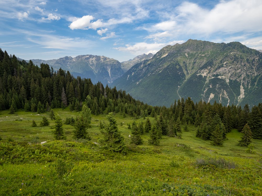
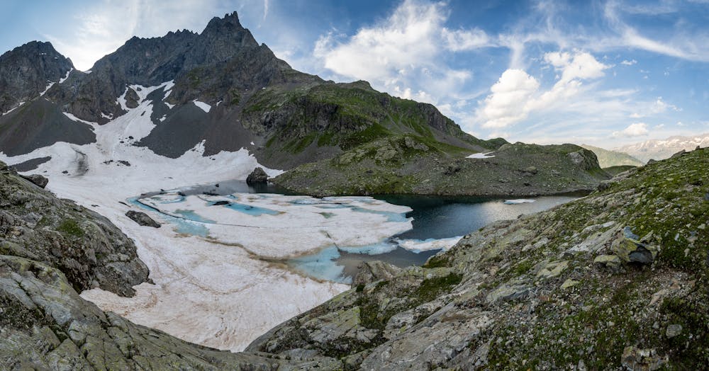
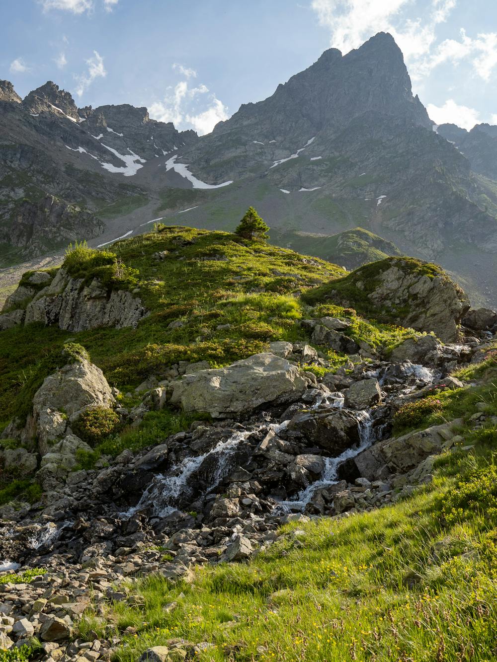
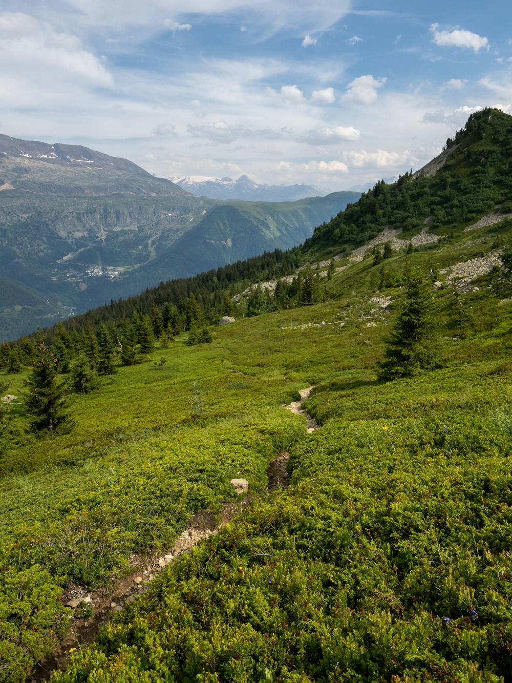
Route starts off steeply through the forest. It opens up once you hit the cabin (with good water supply) and plentiful fields of wild blueberries just above the cabin (not ready in July). The lake is still covered in ice in July. Prefer September to get access to the far end of the lake for photos along the lake to the mountains over the valley.
Cabane de Berger (Le Chazeau) open access unguarded hut available for sheltering in bad weather around half way up the climb.
Another smaller lake on the small hill just across from the mouth of the lake with a number of good flat camping spots.
Difficulty
Moderate
Hiking along trails with some uneven terrain and small hills. Small rocks and roots may be present.
Medium Exposure

The trail contains some obstacles such as outcroppings and rock which could cause injury.
Remoteness
Away from help but easily accessed.
Best time to visit
Features
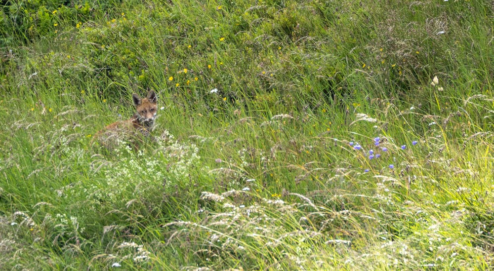
- Alpine
- Wildlife
- Picturesque
- Wild flowers
- Water features