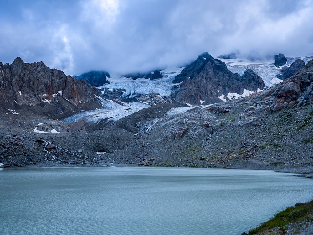
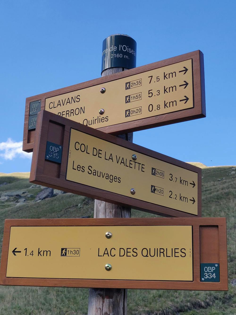
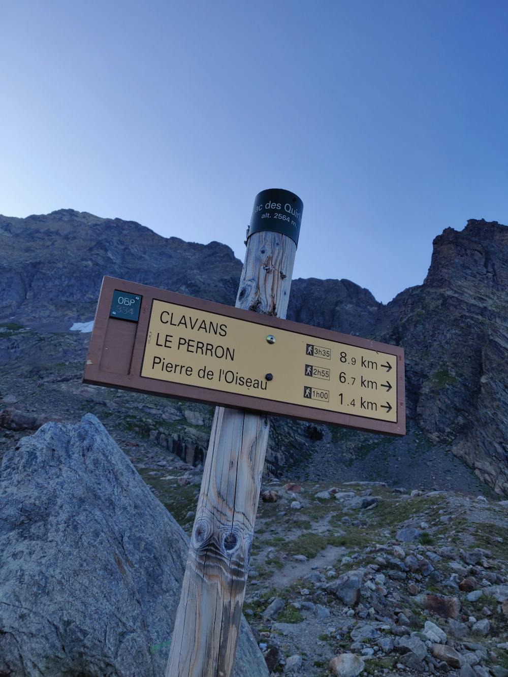
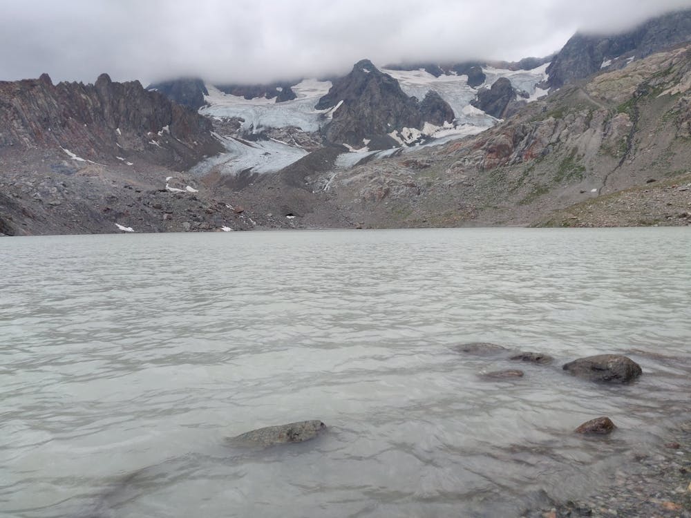
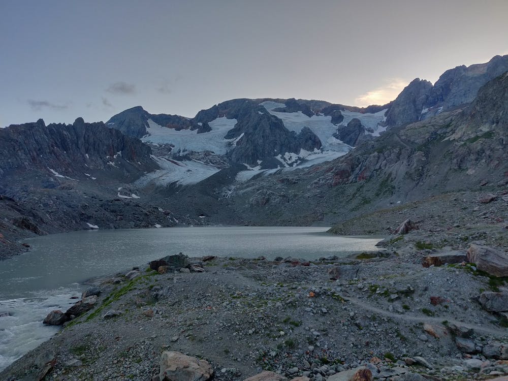
Lac des Quirlies
Alpe d'Huez
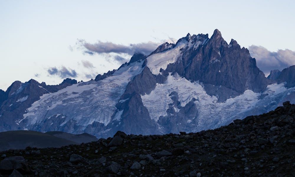
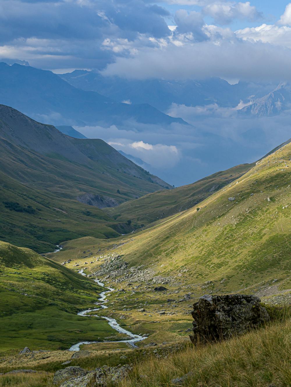
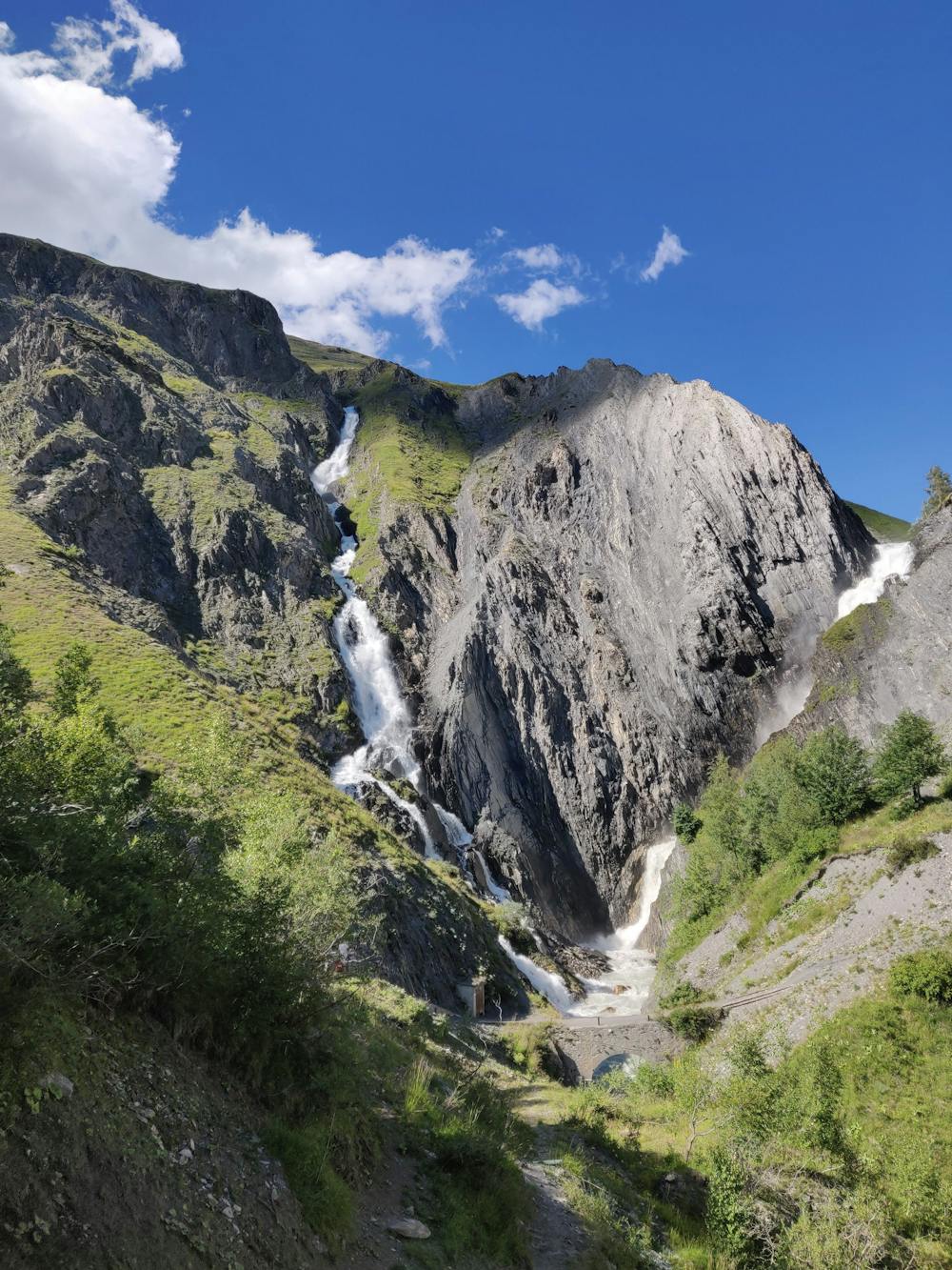
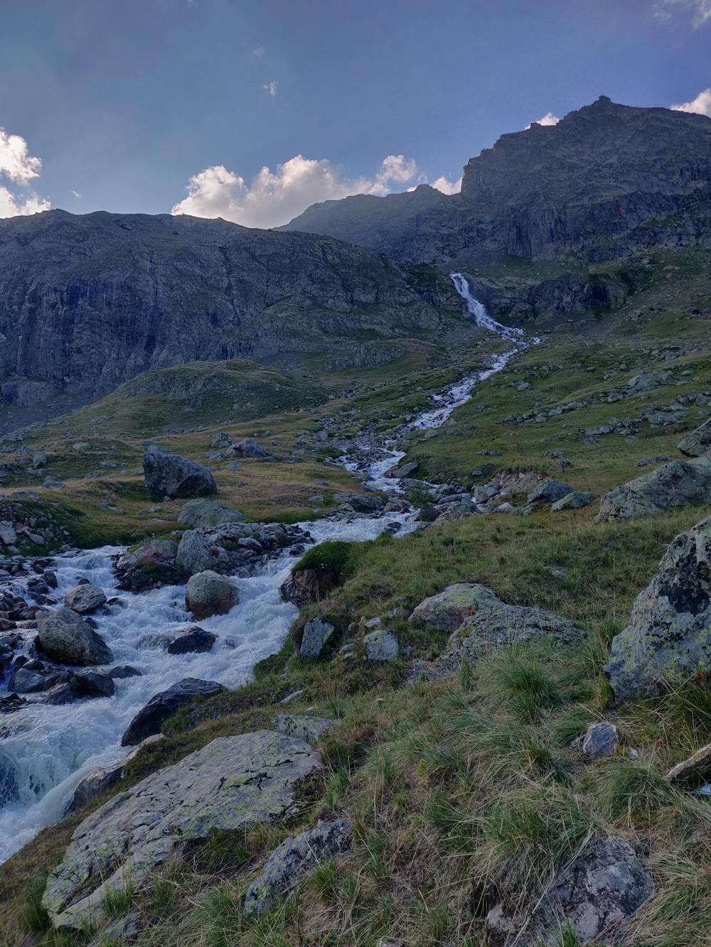
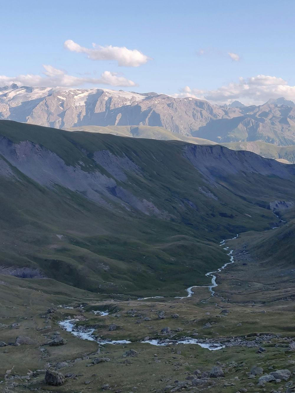
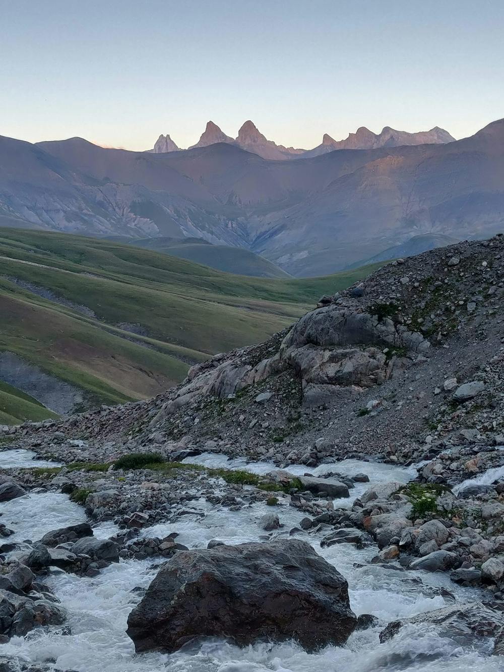
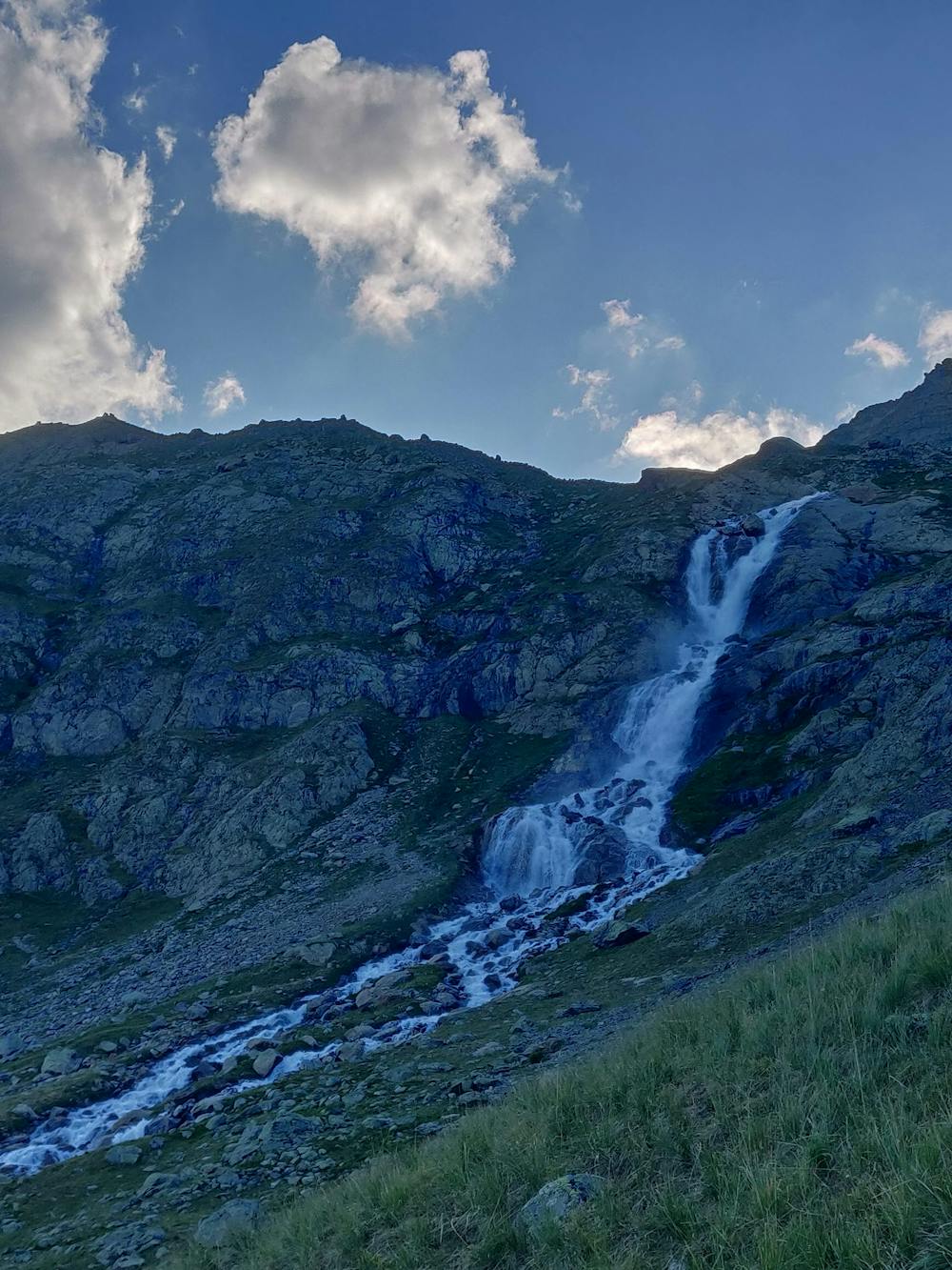
Superb day trip or overnight bivi at a glacial lake. 20 years ago the glacier reached the lake. No challenges on this route.
Hiking Moderate
- Distance
- 17 km
- Ascent
- 1.2 km
- Descent
- 1.2 km
- Duration
- 5-6 hrs
- Low Point
- 1.6 km
- High Point
- 2.6 km
- Gradient
- 17˚

This is a popular hiking route which is generally considered to be moderate. It's remote, it features medium exposure and is typically done between June and September. From a low point of 1.6 km to the maximum altitude of 2.6 km, the route covers 17 km, 1220 vertical metres of ascent and 1225 vertical metres of descent.
- •
- •
- •
- •
- •
- •
- •
- •
- •
- •
- •
- •
- •
- •
- •
- •
- •
- •
- •
- •
- •
- •
- •
- •
- •
- •
- •
- •
- •
- •
- •
- •
- •
- •
- •
- •
Description
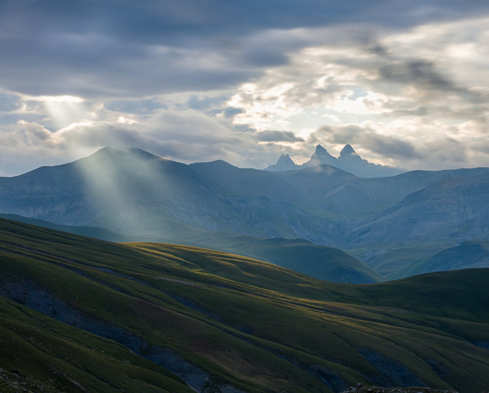
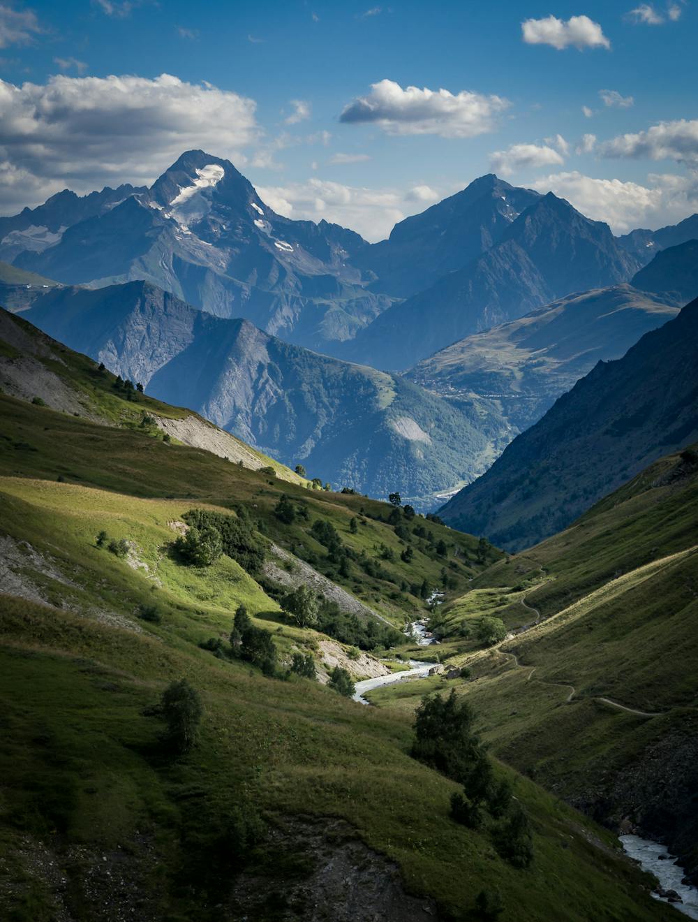
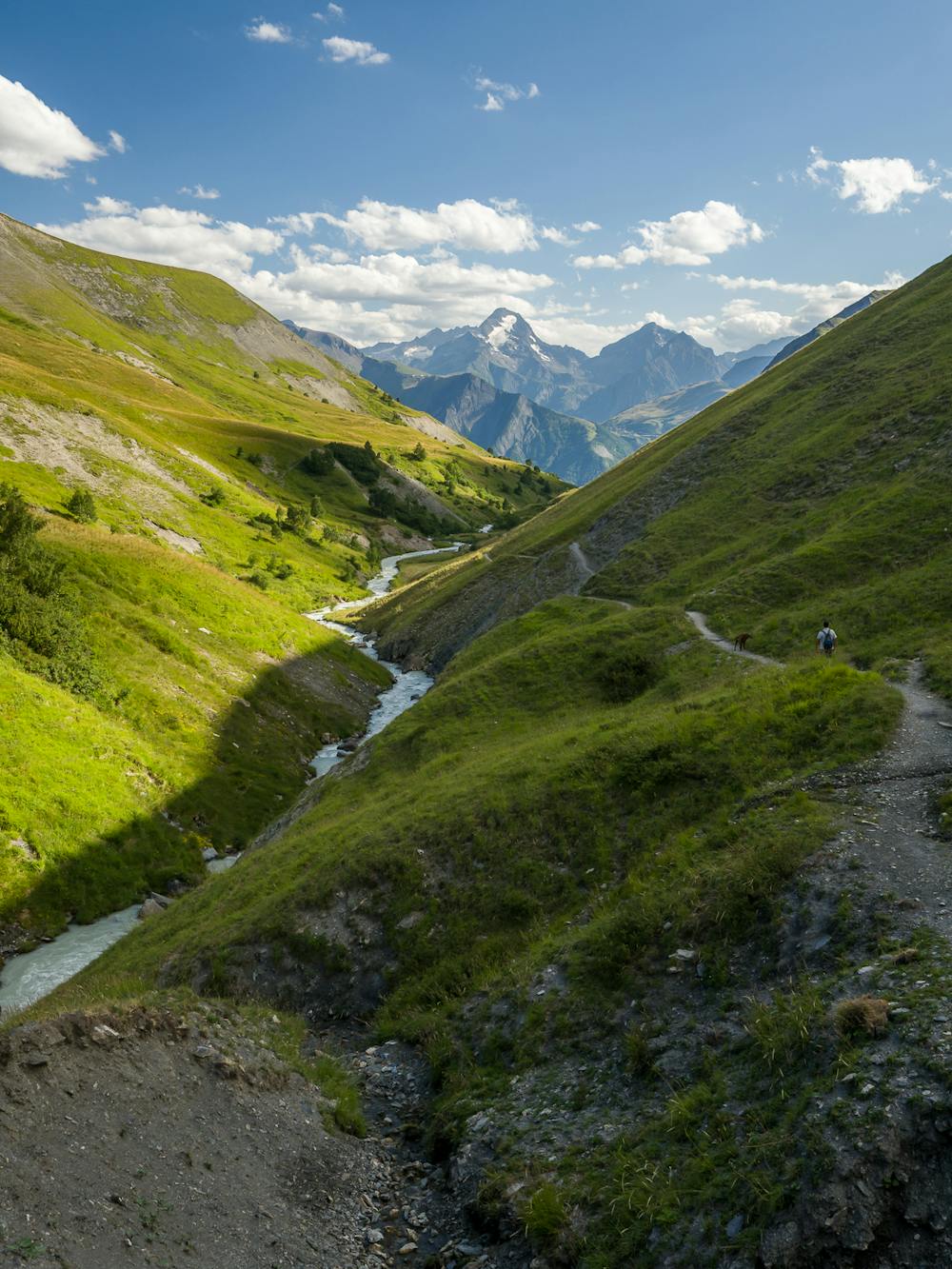
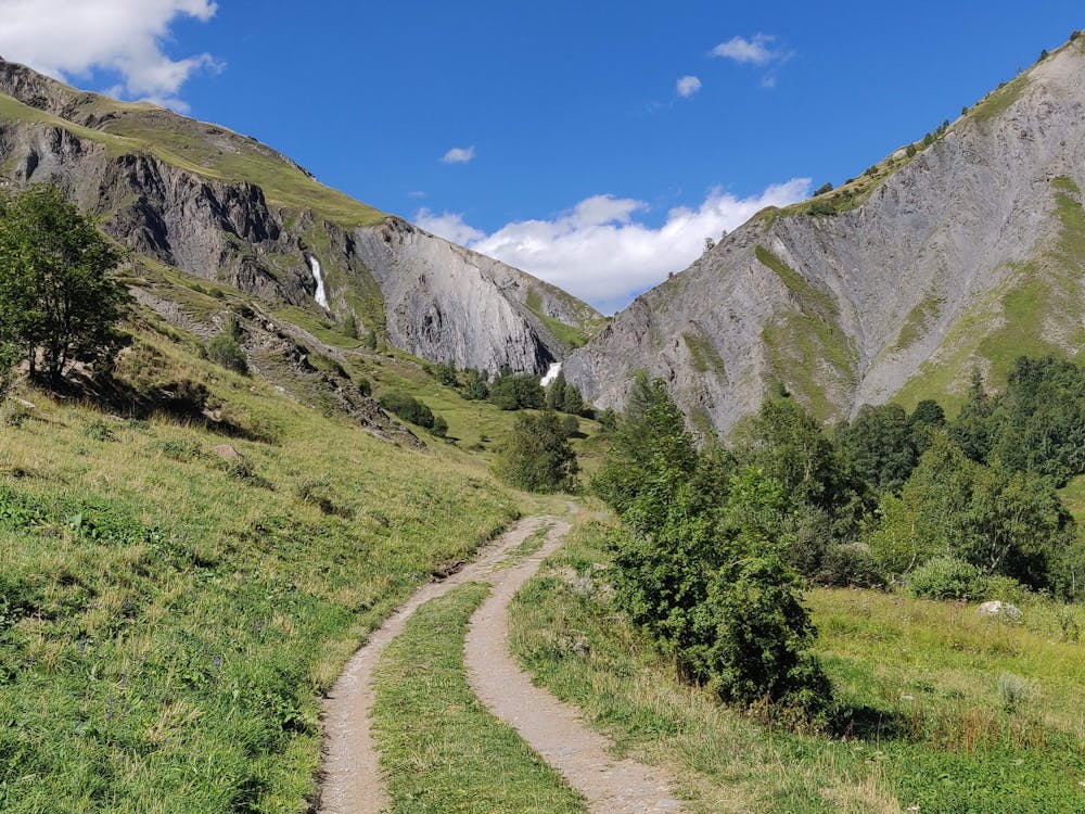
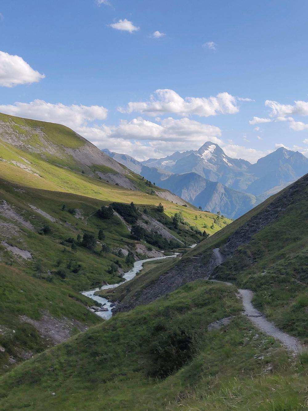
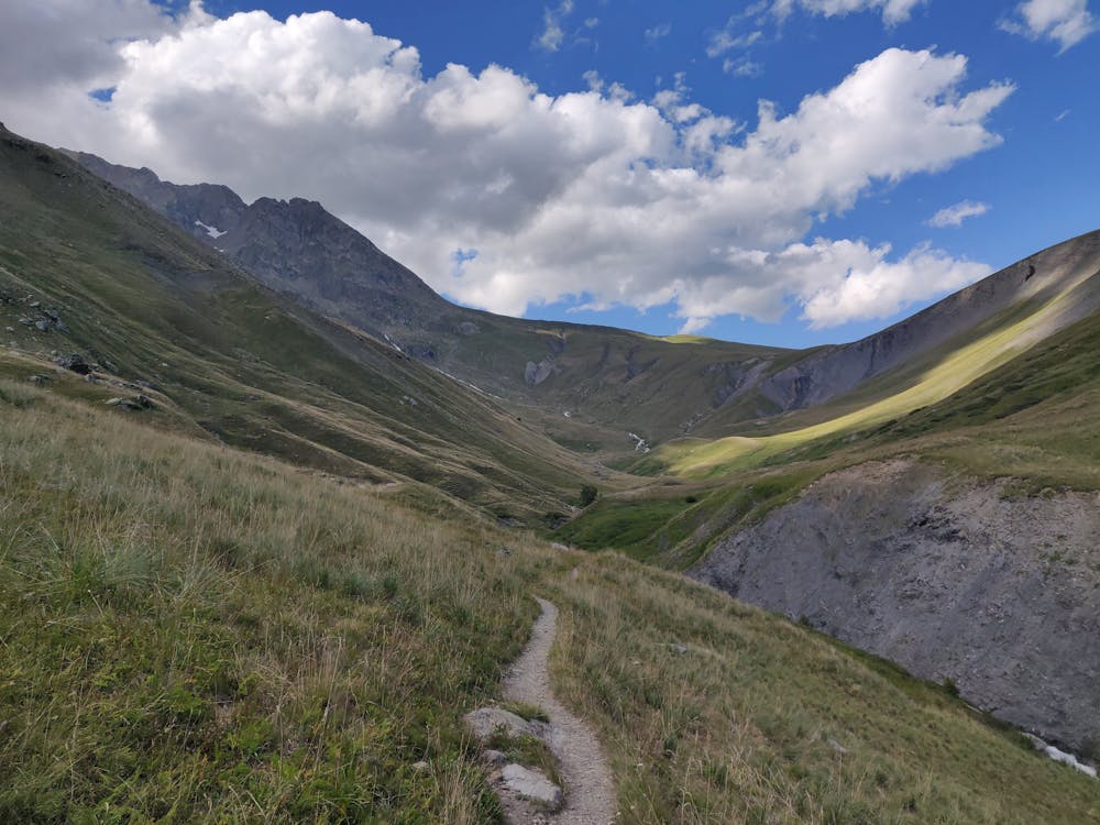
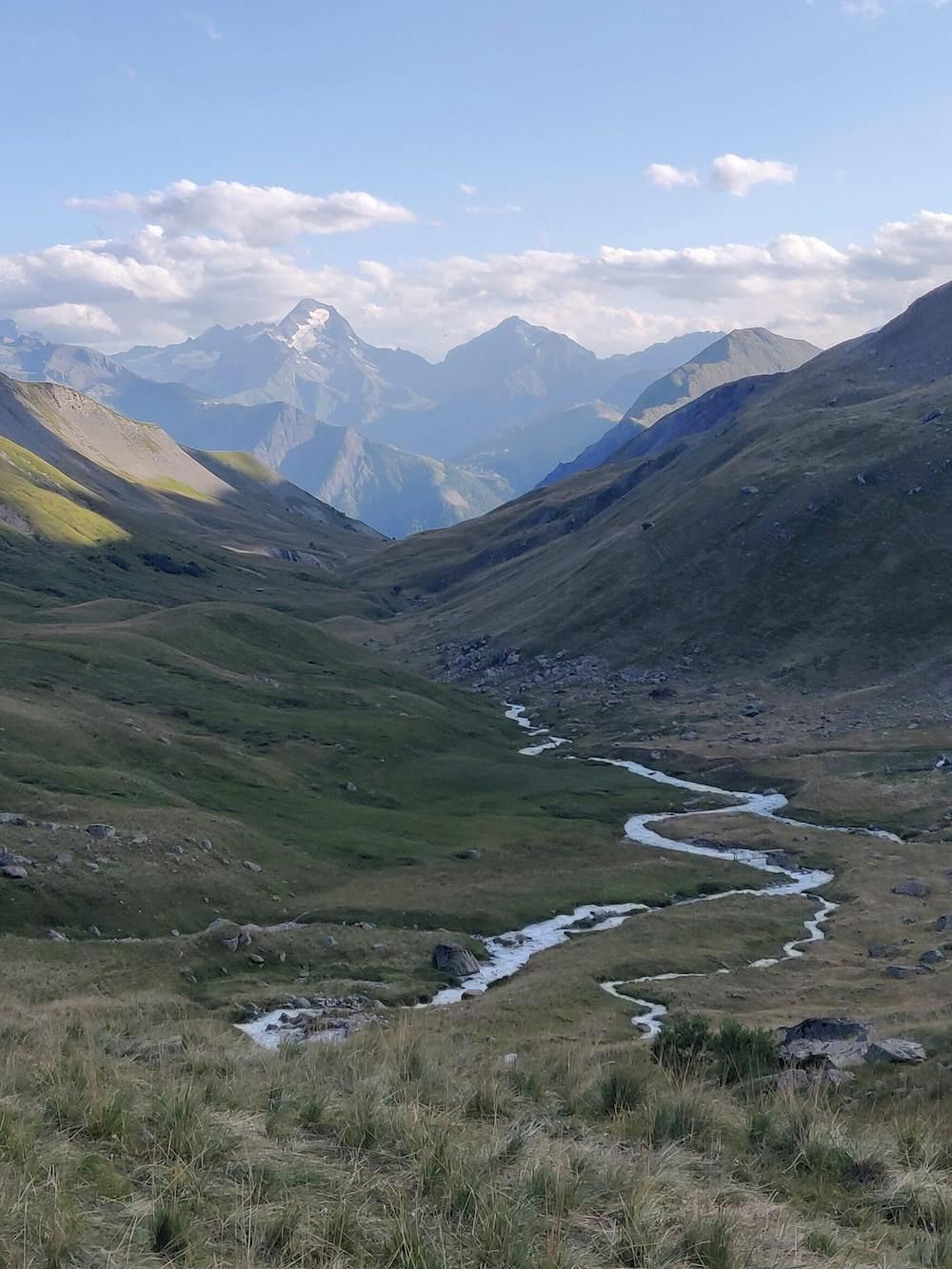
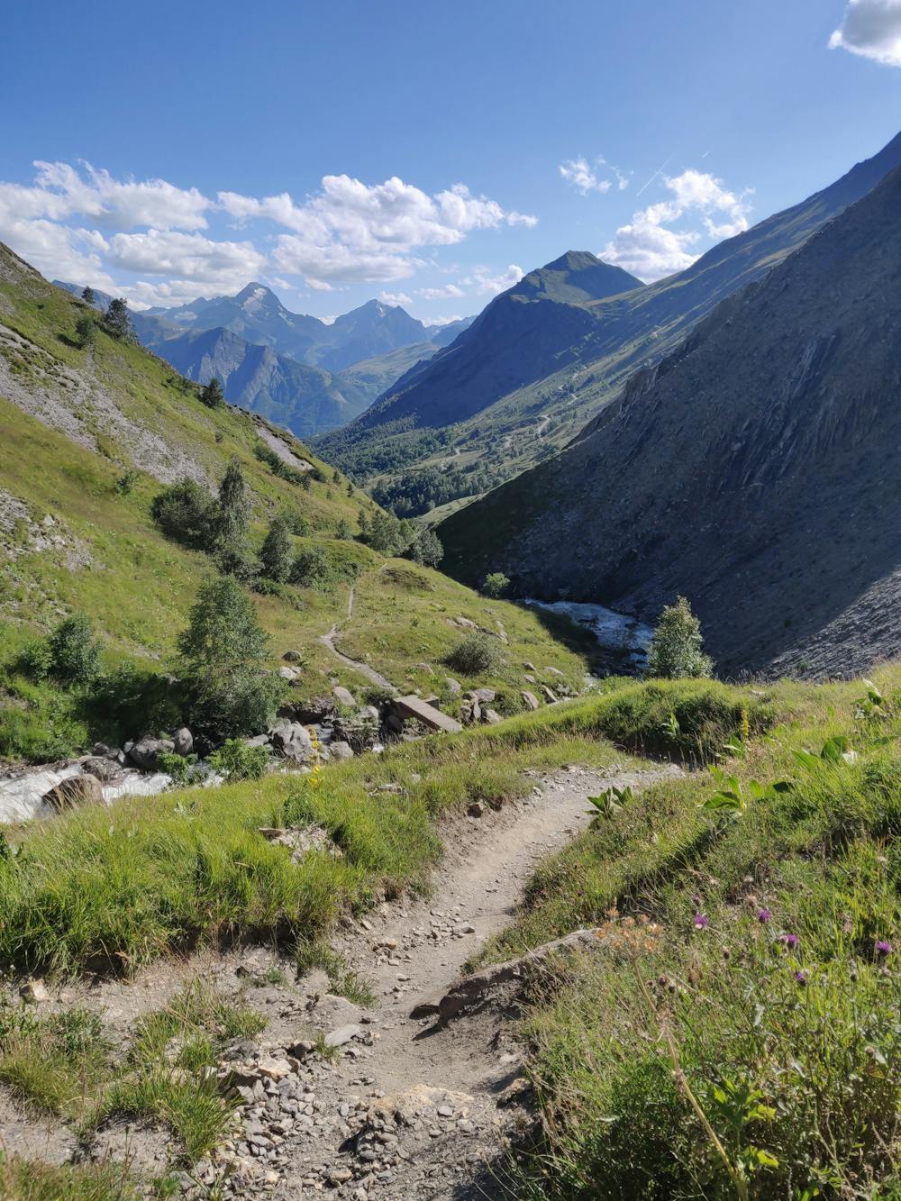
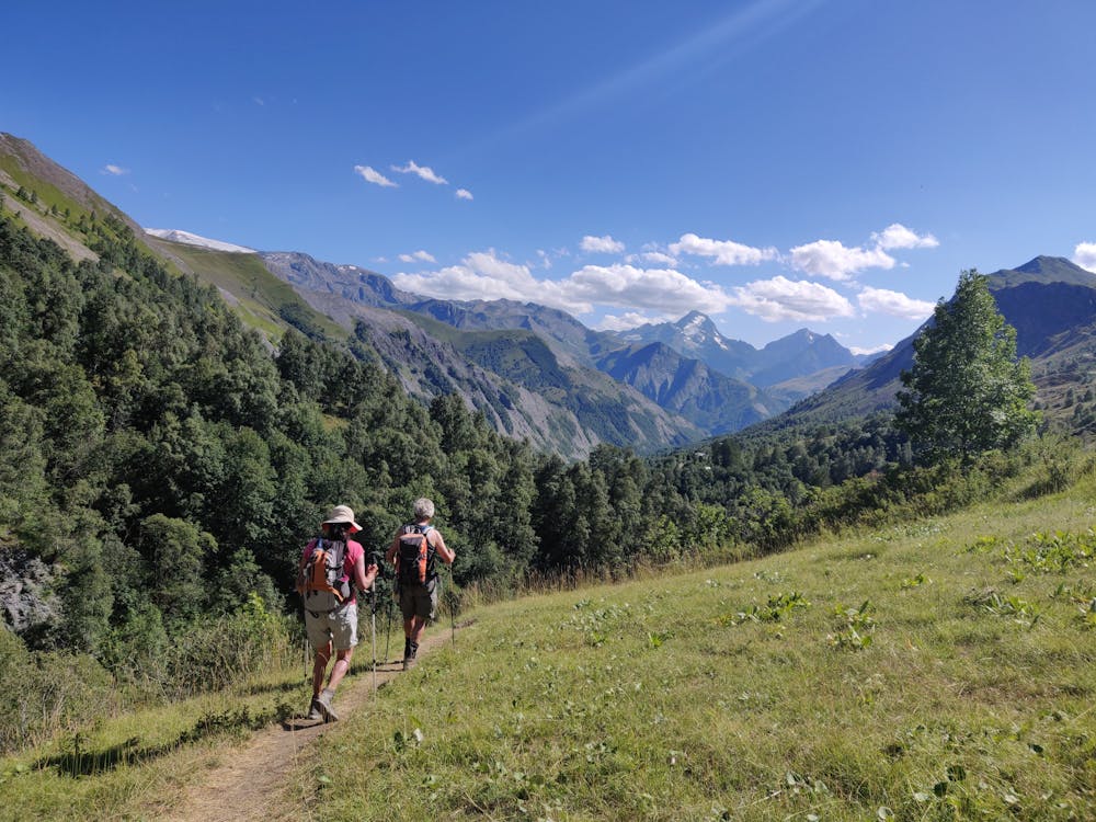
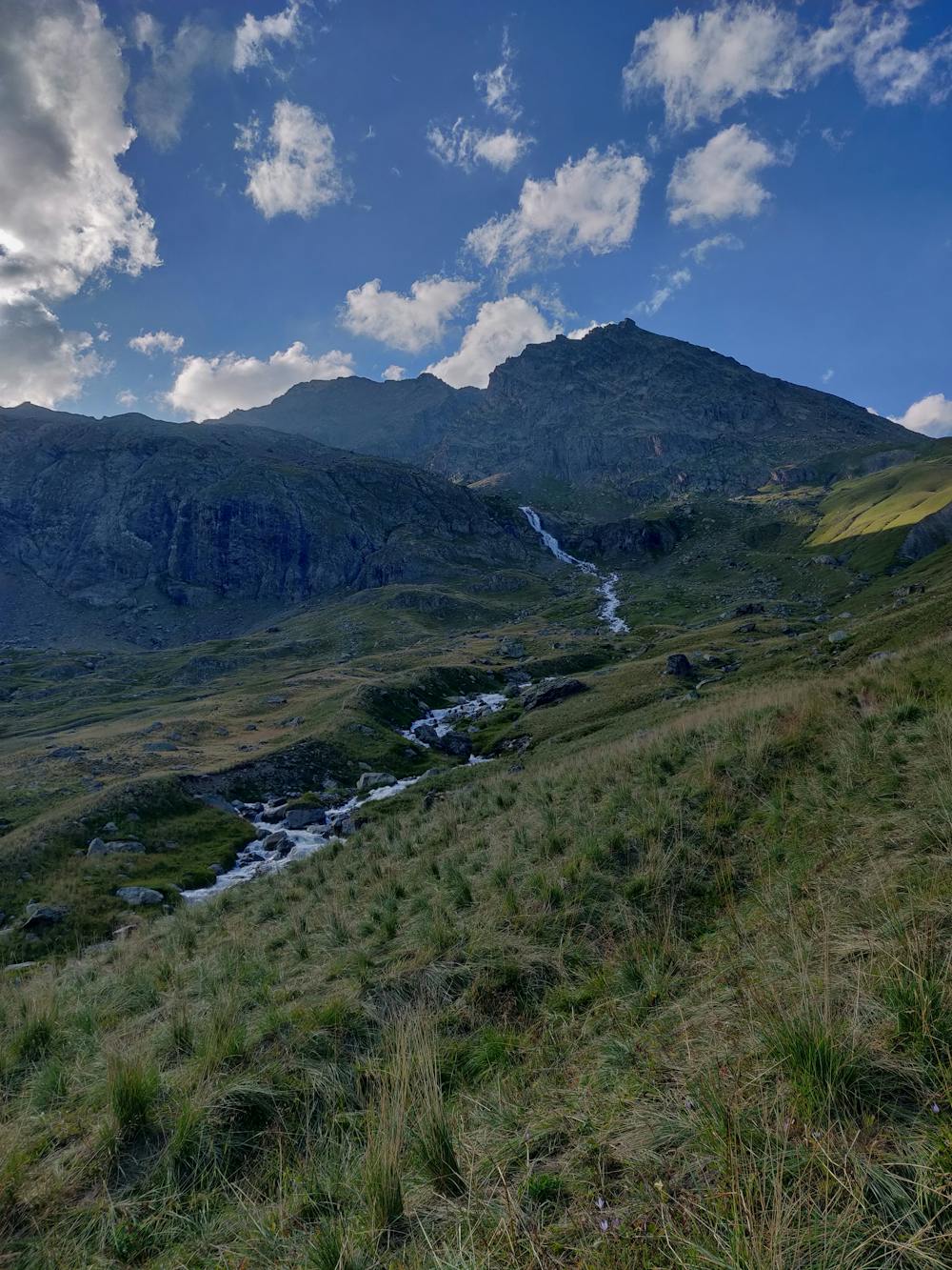
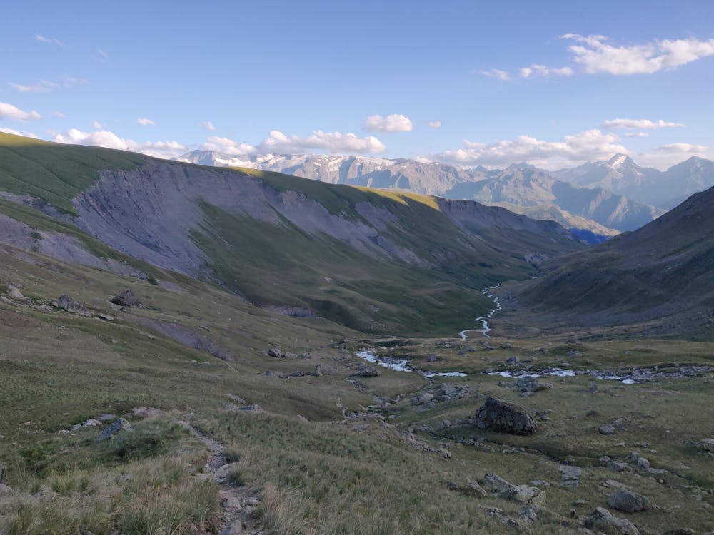
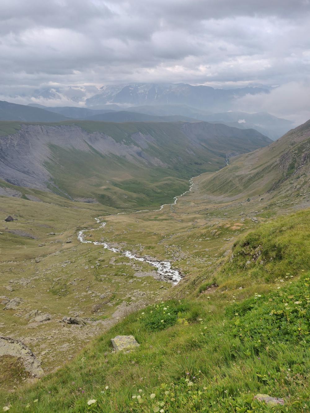
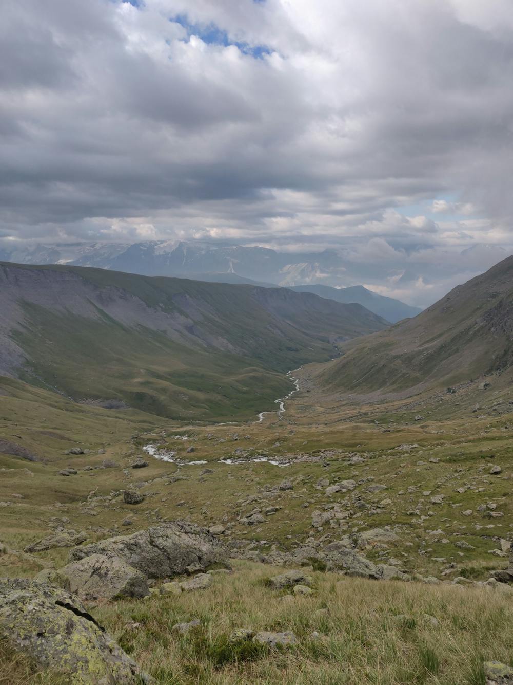
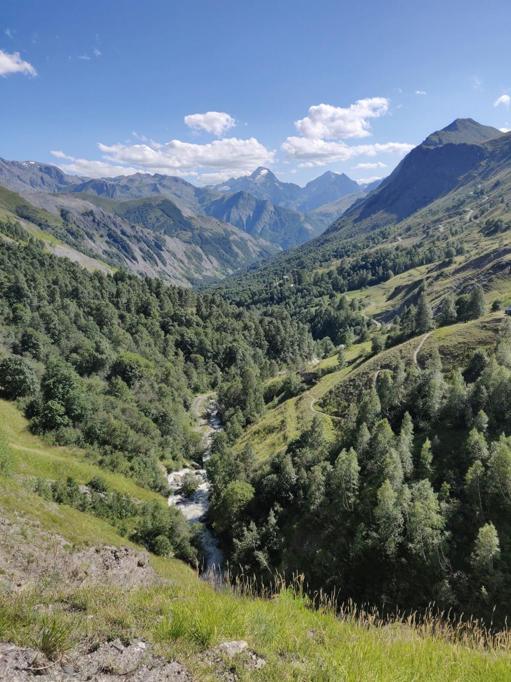
Great views back down the valley as you climb
Difficulty
Moderate
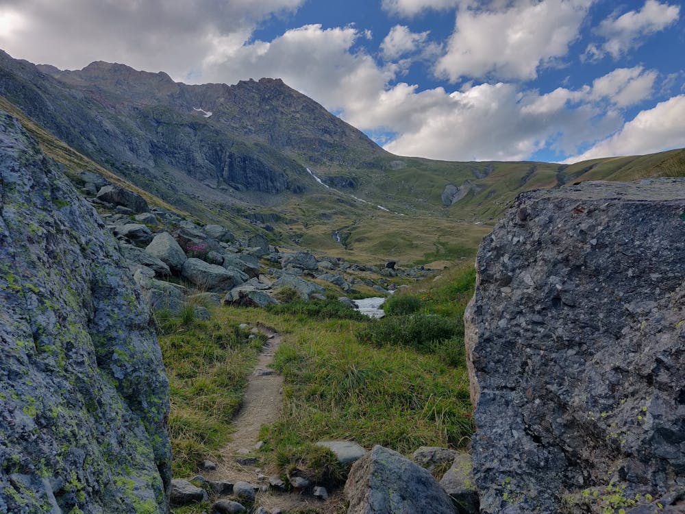
Hiking along trails with some uneven terrain and small hills. Small rocks and roots may be present.
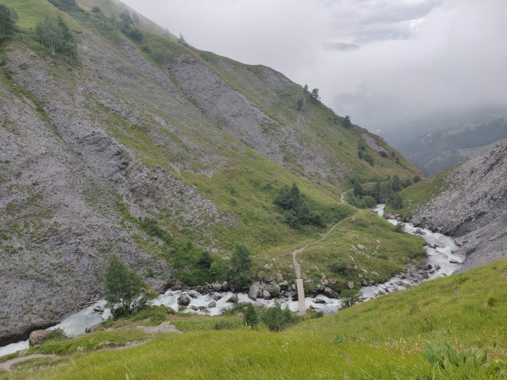
Medium Exposure

The trail contains some obstacles such as outcroppings and rock which could cause injury.
Remoteness
Away from help but easily accessed.
Best time to visit
Features
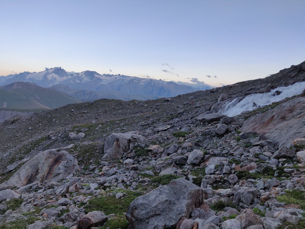
- Alpine
- Picturesque
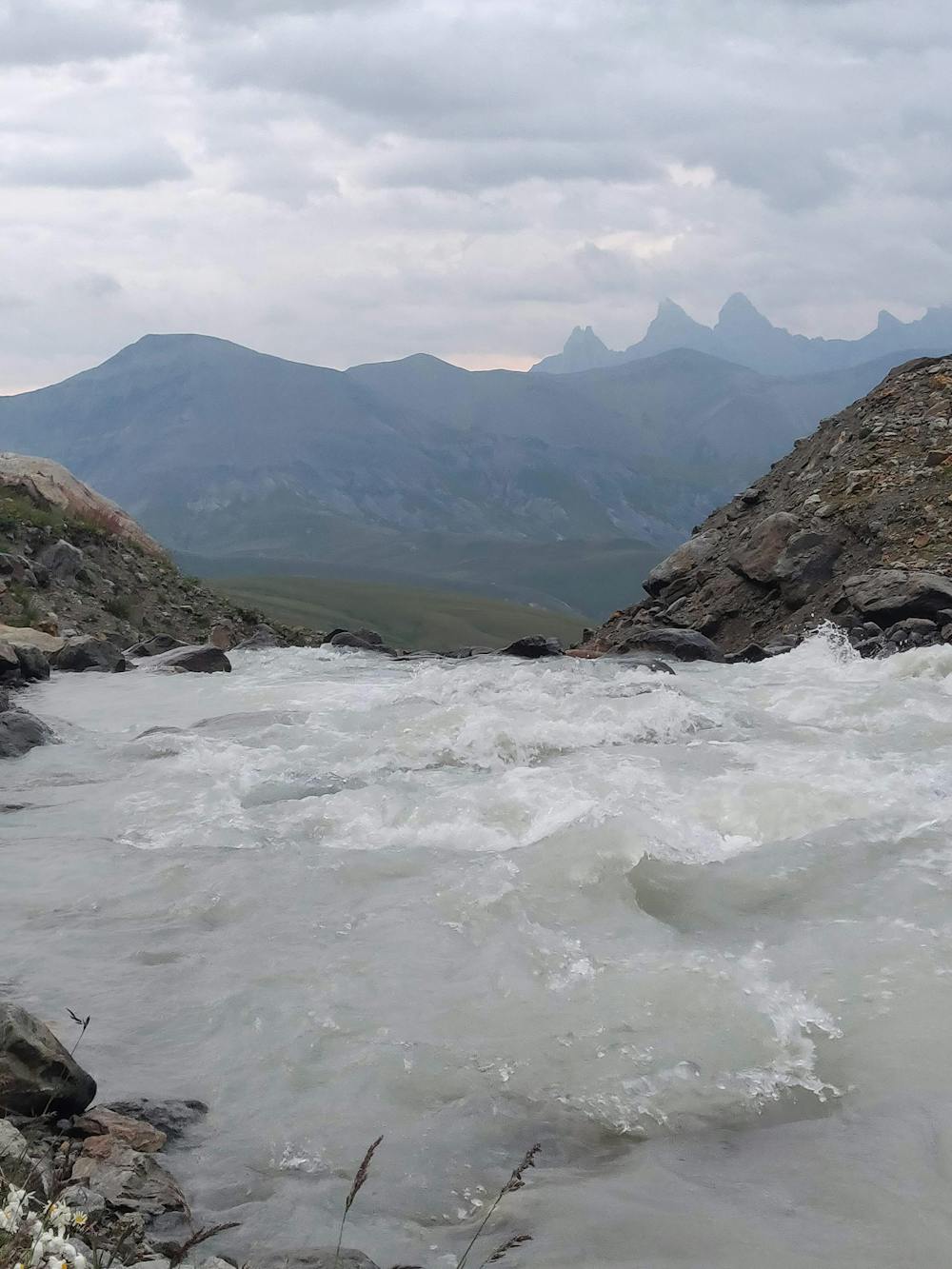
- Wild flowers
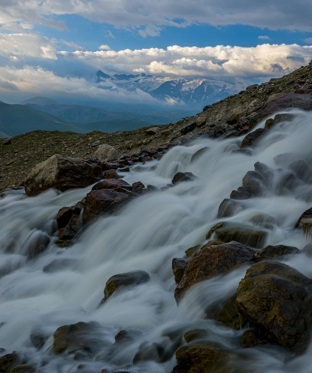
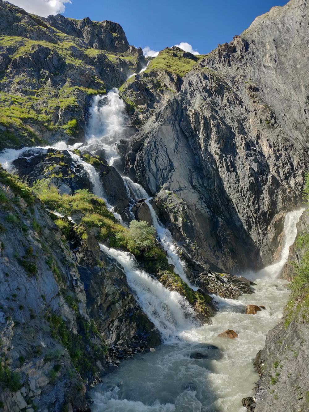
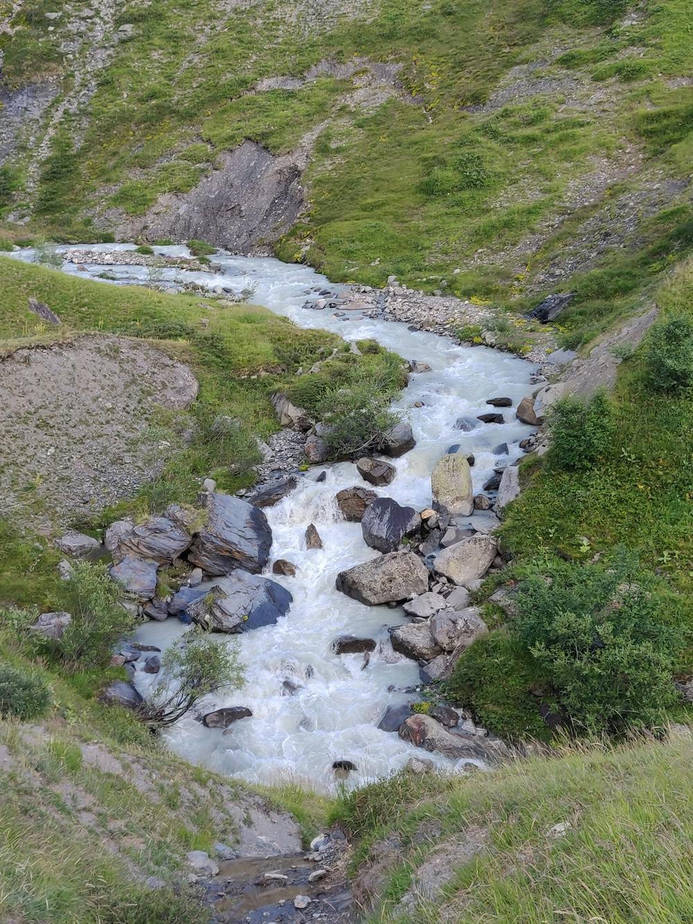
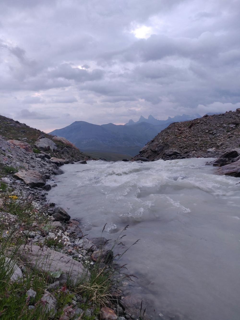
- Water features