Test - 12
Briançon
La Grave
Les Deux Alpes and La Grave
Serre Chevalier
Alpe d'Huez
Grenoble
Test - 12
Also in Hautes-Alpes, France
Road Biking Moderate
- Distance
- 170 km
- Ascent
- 4.9 km
- Descent
- 4.3 km
- Duration
- 1 day +
- Low Point
- 533 m
- High Point
- 2.6 km
- Gradient
- 10˚
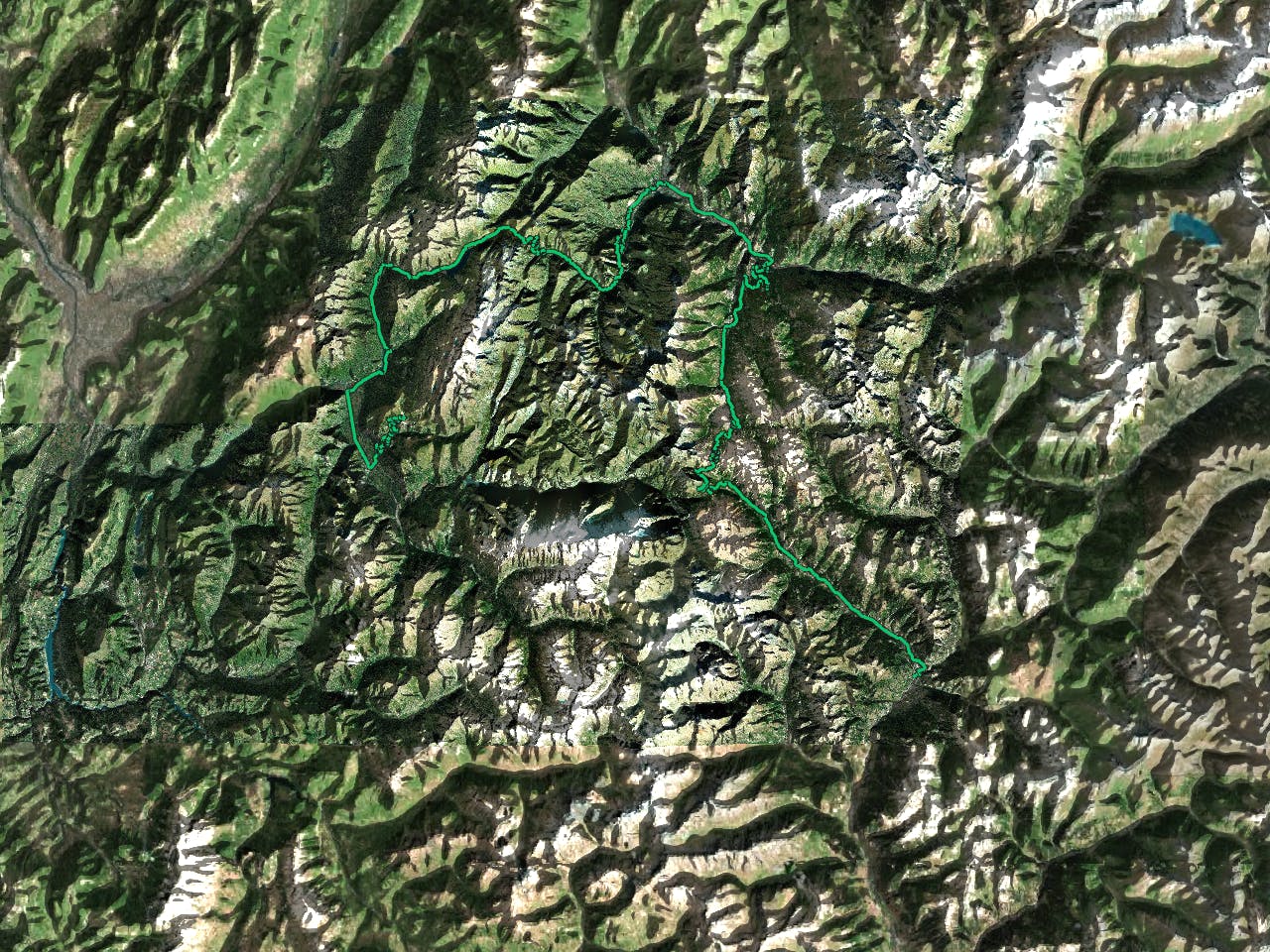
This is a popular road biking route which is generally considered to be moderate. It's an unknown remoteness, it features unknown exposure and is typically done in an unknown time of year. From a low point of 533 m to the maximum altitude of 2.6 km, the route covers 170 km, 4940 vertical metres of ascent and 4296 vertical metres of descent.
Description
Test 12
Difficulty
Moderate