6 km away
Promenade Plantée
Run through Parisians most cherished park, with a difference.
Easy Trail Running
- Distance
- 11 km
- Ascent
- 37 m
- Descent
- 37 m
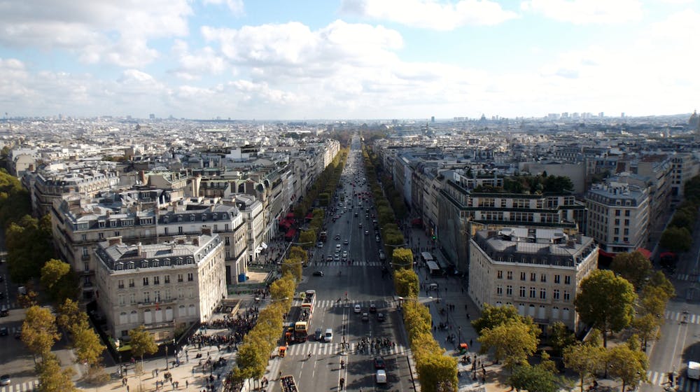
Paris highlights abound in this run from the Arc de Triomphe to the Champs-Élysées.
Trail Running Easy

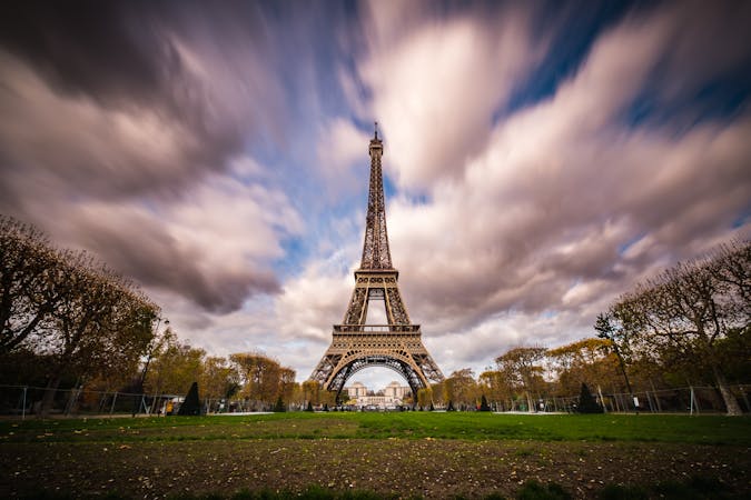
Take the Metro to the Arc de Triomphe and inhale views of the Eiffel Tower as you run along tree-flanked pathways before finishing on the Champs-Élysées, savouring every bite of that glorious Parisian croissant at Ladurée.
Let me know if you find a run in Paris that's more cliché.
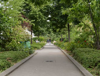
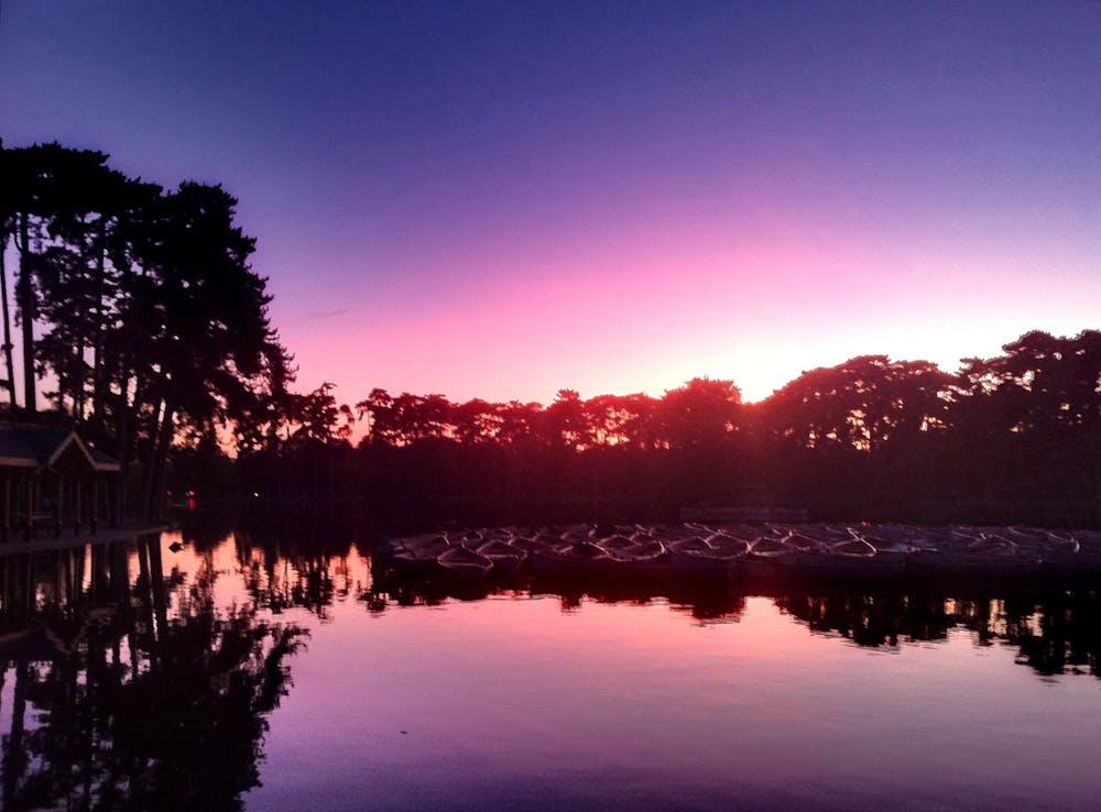
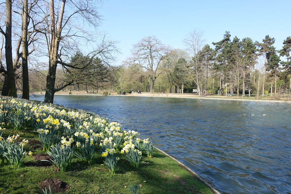
The Bois de Boulogne is the second-largest park in Paris, but it takes a first for running quality and clichés. From the Arc, head west for one kilometre along Avenue Foch before veering right and entering the forest. This is where the Paris marathon finishes, and you can find an atmosphere of electricity and inspiration on a Sunday morning as you run along these trails with the locals training for the race.
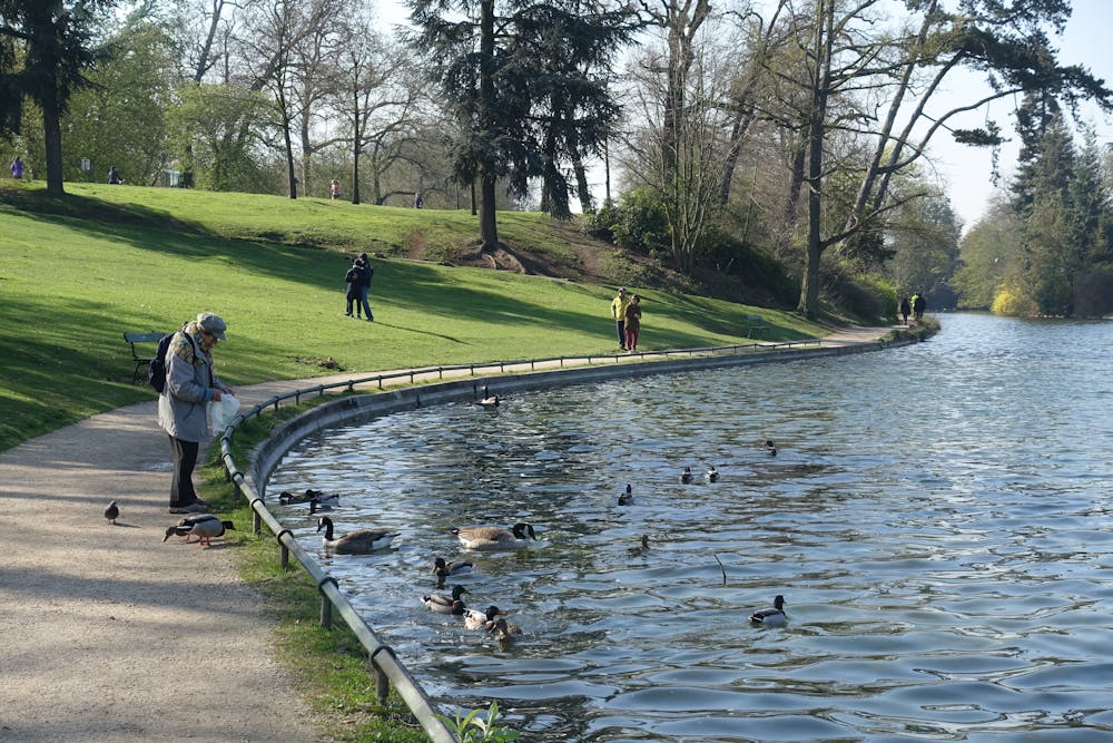
Once under the shade of ancient oak-lined paths, follow around Lac Inferieur. There’s a multitude of sublime urban trails to explore, adding up to more than 55 kilometres of forested bliss. We’ve included a loop that follows the outer rim of the park, but please detour and explore! At most of the trail intersections, you'll find a map with the 10km Trail de Longeur, which makes for a nice tempo run.
To finish, run back along Avenue Foch, past the Arc de Triomphe and down the Avenue des Champs-Élysées where you’ll find one of the oldest bakeries in Paris: Ladurée, specialising in macarons, but you can also find a delicious croissant.
The metro station to reach the Arc de Triomphe is the Charles de Gaulle Étoile, and trains run in every direction from here.
For something longer, combine this loop with Parc de Saint-Cloud.
Sources: https://greatruns.com/paris-bois-de-boulonge/ https://en.parisinfo.com https://www.laduree.fr/en/
Easy

The path is on completely flat land and potential injury is limited to falling over.
Close to help in case of emergency.
6 km away
Run through Parisians most cherished park, with a difference.
Easy Trail Running
6.9 km away
Enjoy a loop through one of the most remarkable green spaces of Europe.
Easy Trail Running
7 km away
Searching for vert in the heart of Paris? Look no further.
Easy Trail Running
5 routes · Trail Running