156 m away
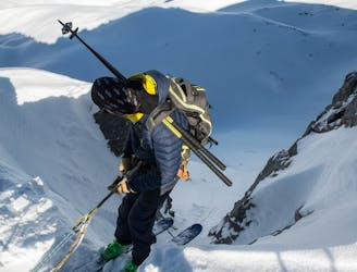
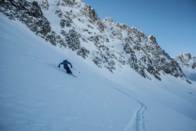
Pramecou North Face

One of the most spectacular descents in the region
Severe Freeride Skiing
- Distance
- 1.5 km
- Ascent
- 182 m
- Descent
- 279 m
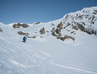
A spectacular ski descent on moderate terrain in a wild setting.
Freeride Skiing Difficult

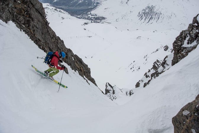
This is a popular freeride skiing route which is generally considered to be difficult. It's very remote, it features medium exposure (e2) and is typically done between January and April. From a low point of 2.3 km to the maximum altitude of 2.9 km, the route covers 2.9 km, 59 vertical metres of ascent and 642 vertical metres of descent. It's graded 2.2 and Labande grade 3. You'll need skins to complete it safely.
This requires some effort but not a large amount and allows you to access some beautiful terrain under the N Face of the Pramecou
Difficult
Serious gradient of 30-38 degrees where a real risk of slipping exists.

As well as the slope itself, there are some obstacles (such as rock outcrops) which could aggravate injury.

Little chance of being seen or helped in case of an accident.
156 m away
One of the most spectacular descents in the region
Severe Freeride Skiing
503 m away

A spectacular couloir which is reserved for expert skiers only.
Severe Freeride Skiing
618 m away

Nice off piste run, a great introduction to powder skiing.
Easy Freeride Skiing
653 m away

A spectacular couloir reserved for expert skiers only.
Severe Freeride Skiing
657 m away
The best descent down the north face of the Pramecou, but only for the experienced.
Severe Freeride Skiing
672 m away
A true classic; P4 should be on the to-do list for all experienced ski mountaineers in the area.
Extreme Freeride Skiing
674 m away

An amazing couloir reserved for expert skiers only.
Severe Freeride Skiing
674 m away
Ski the stunning couloir and face that brings you straight back into Val Claret
Severe Freeride Skiing
1.3 km away

A long complex descent on moderate terrain; a great adventure.
Difficult Freeride Skiing
2.4 km away

A short off piste run on glaciated terrain.
Severe Freeride Skiing
70 routes · Freeride Skiing
6 routes · Freeride Skiing

15 routes · Freeride Skiing · Ski Touring