110 m away
Tour du Mont Blanc: Les Chapieux to Courmayeur
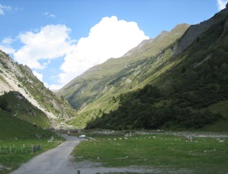
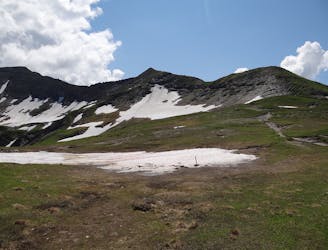
Day 4: A long day with a gradual climb and an equally gradual descent which takes you on the first border crossing of the Tour du Mont Blanc, from France to Italy via the wide and bleak-feeling Col de la Seigne.
Difficult Hiking
- Distance
- 30 km
- Ascent
- 1.1 km
- Descent
- 1.5 km