1.9 km away
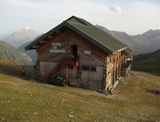
Refuge des Conscrits
A serene glacier hike to a beautiful high mountain hut
Severe Hiking
- Distance
- 19 km
- Ascent
- 1.7 km
- Descent
- 1.7 km
Mingle with Tour du Mont Blanc hikers before going off on less travelled trails.
Hiking Severe

The col de la croix du Bonhomme and the Jovet lakes are popular hiking destinations. The easiest way to reach both of these destinations is to follow the Tour du Mont Blanc itinerary. If you're not interested in being surrounded with crowds the whole day, the loop mapped here, although more difficult, should provide you with a more scenic alternative.
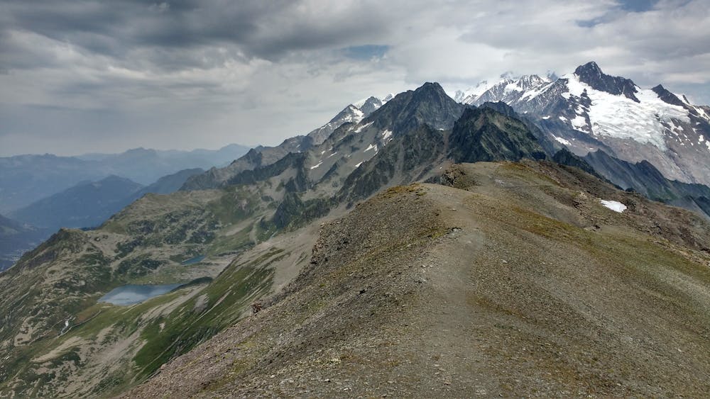
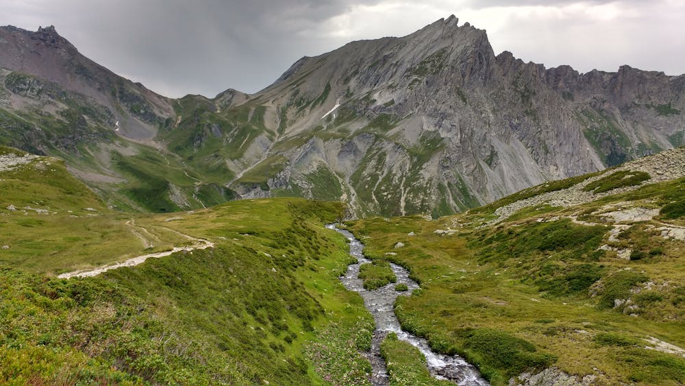
Instead of taking the large TMB trail, follow a narrow trail on your right. The climb is initially steep, before leveling off after passing the tree line. You'll be able to see the TMB trail down below on your left and you'll eventually connect with it near the Balme waterfalls. It will be more crowded from there until the col de la croix du Bonhomme.
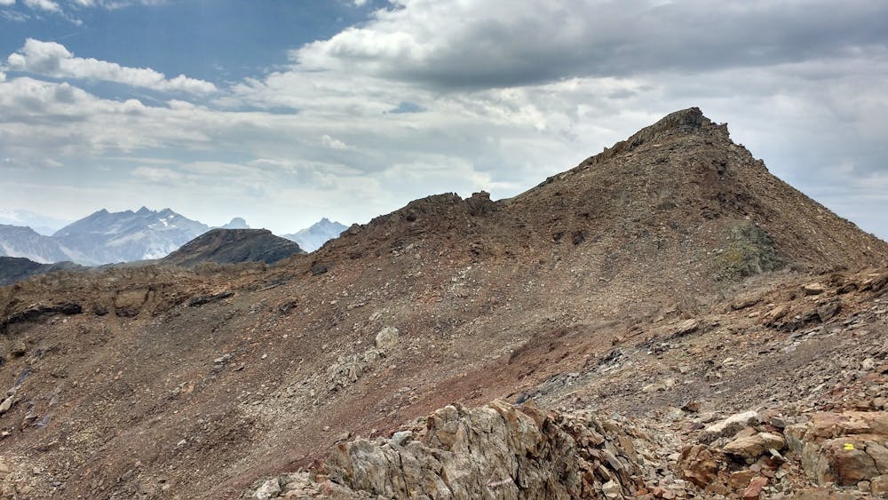
Just before the refuge, take the path to col des Fours, where the landscape will become much rockier.
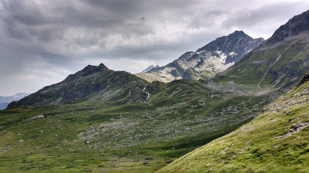
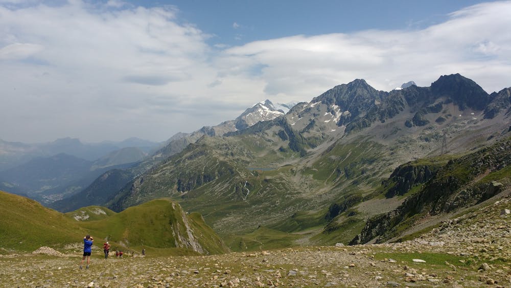
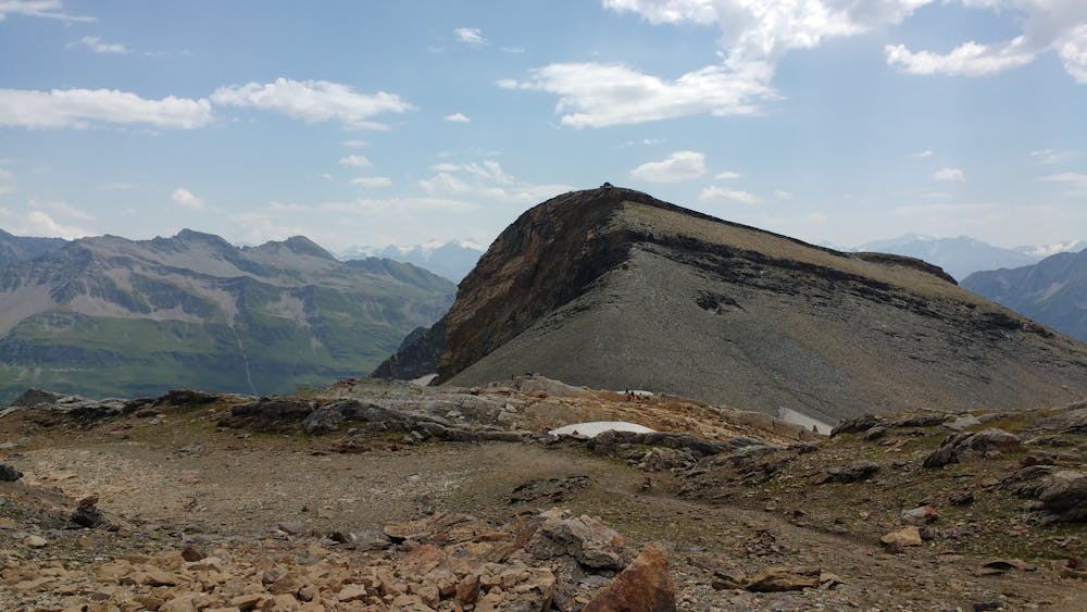
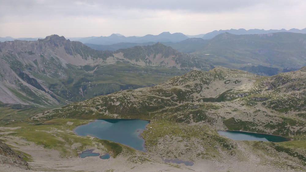
At the Tête Nord des Fours, enjoy the panoramic view and look down towards the Jovet lakes, before making your way to them by following the ridgeline. Although the view is breathtaking, pay attention to the trail as it's rather technical—col d'enclave is not that far, but it will take more time than you think to get there. Similarly, the climb down from the col to the lakes is steep, technical, and sometimes exposed (it follows a more alpine alternative to the TMB route) but gets easier as you get closer to the lakes.
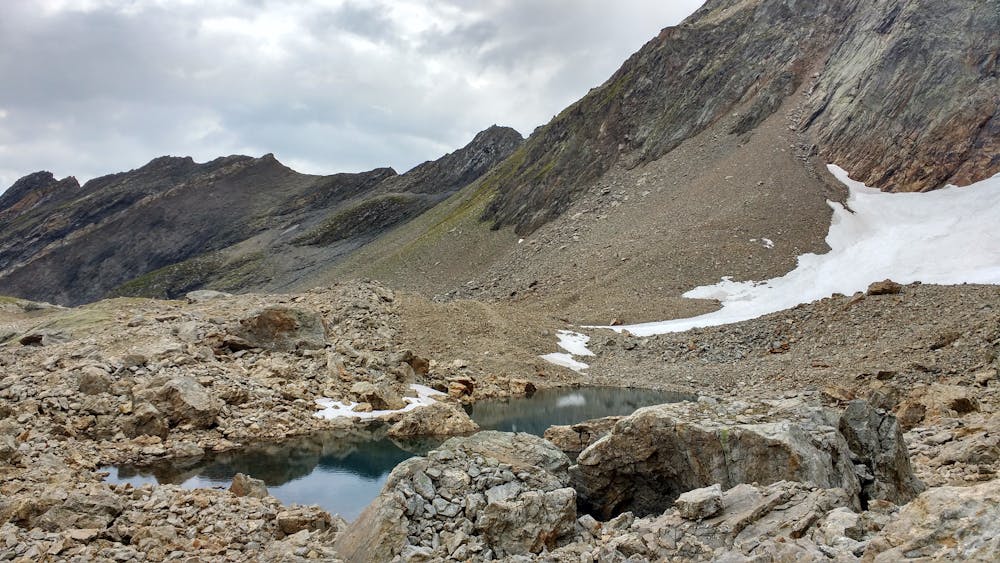
The lakes will probably be quite busy, although considering this route is quite long, you may get there once the day hikers have already left.
Take a scenic trail to get back to the Balme waterfalls and from there, the classic TMB trail will be the easiest option to finish your hike while offering you a nice selection of restaurants and refuges where you can stop for drinks or dinner.
Severe
Hiking challenging trails where simple scrambling, with the occasional use of the hands, is a distinct possibility. The trails are often filled with all manner of obstacles both small and large, and the hills are very steep. Obstacles and challenges are often unexpected and can be unpredictable.

The trail contains some obstacles such as outcroppings and rock which could cause injury.

Little chance of being seen or helped in case of an accident.
1.9 km away
A serene glacier hike to a beautiful high mountain hut
Severe Hiking
3.1 km away
Day 3: A long and wild day which leads to one of the most peaceful little settlements in the French Alps.
Difficult Hiking

14 routes · Hiking
3 routes · Alpine Climbing · Hiking

15 routes · Alpine Climbing · Hiking