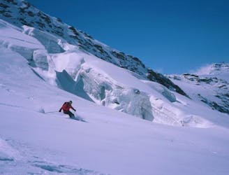
43 m away
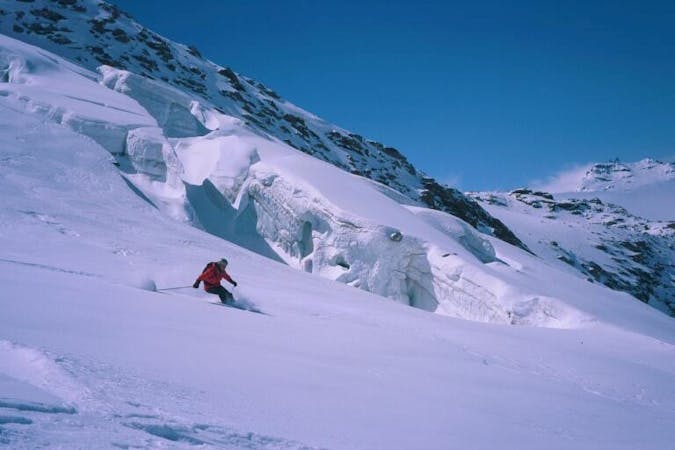
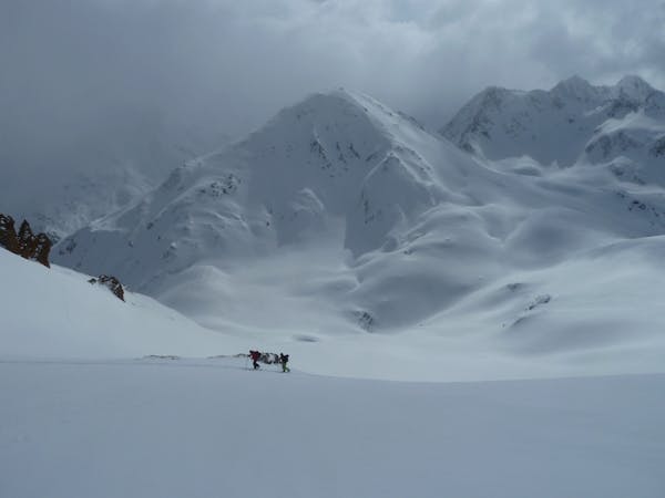
Couloir Parent - Pointe du Borgne
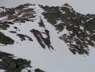
An easy access steep line above Val Thorens.
Extreme Ski Touring
- Distance
- 2.5 km
- Ascent
- 474 m
- Descent
- 295 m
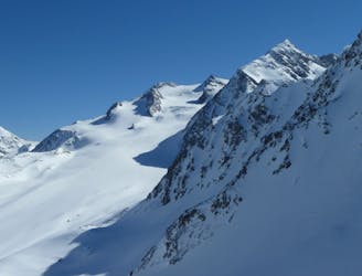
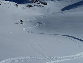
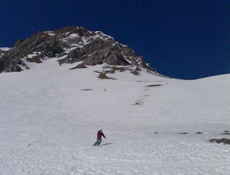
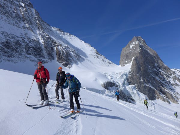
Easy/Moderate ski tour off the piste in Val Thorens
Ski Touring Moderate

The route is always visible from the busy slope and the top of the Plein Sud Chair Lift meaning it is a fantastic route for beginners for both the access and safety. The views are constantly spectacular and you get the most tranquil experience in one of the worlds most hectic resorts. The run down is awesome with some moderately steep sections.
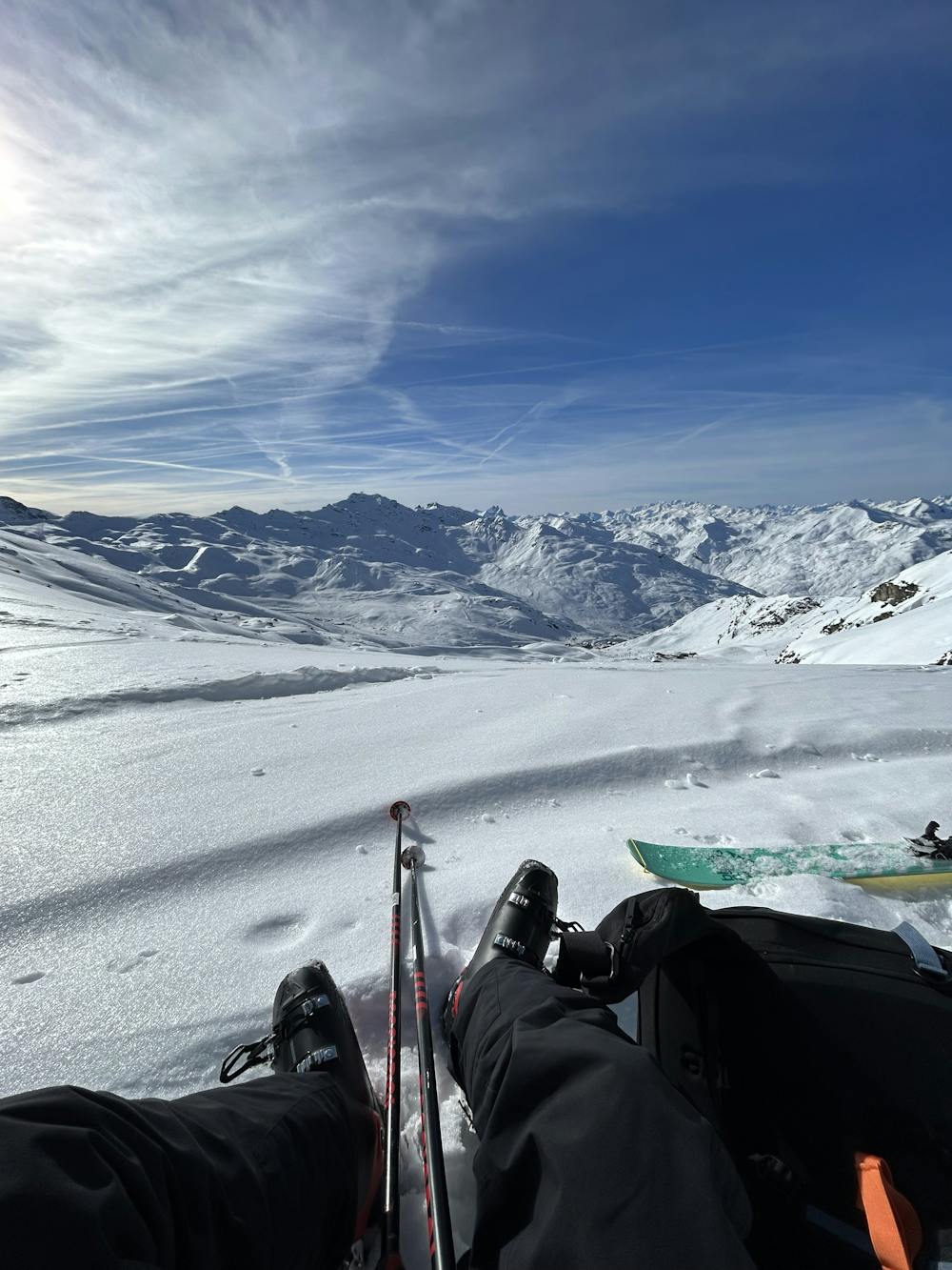
Moderate
Slopes become slightly steeper at around 25-30 degrees.

Exposure is limited to that of the slope itself. Getting hurt is still likely if the slope is steep and/or the snow is hard.
Close to help in case of emergency.
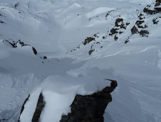
43 m away
An easy access steep line above Val Thorens.
Extreme Ski Touring
4.6 km away
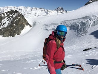
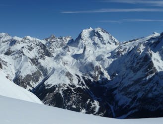
A classic traverse along the backbone of the Three Valleys.
Difficult Ski Touring
4.6 km away
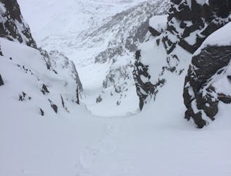
Stunning steep couloir(s) with a short access.
Extreme Ski Touring
4.6 km away
A stunning line sitting right over Val Thorens.
Difficult Ski Touring
4.6 km away
The Val Thorens classic!
Difficult Ski Touring
5.5 km away
Get away from the masses on the classic Lac du Lou run!
Difficult Ski Touring
6.8 km away
A fine tour along the skyline between the Belleville and Encombre valleys.
Moderate Ski Touring
8.4 km away
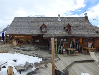
A fantastic journey to a traditional rustic French hut in the Maurienne .
Moderate Ski Touring
8.5 km away
A great morning tour from Courchevel to Pralognan
Difficult Ski Touring
8.5 km away
A short tour with a stunning view of the higher Vanoise peaks.
Moderate Ski Touring
12 routes · Freeride Skiing · Ski Touring
5 routes · Ski Touring
5 routes · Ski Touring