FATMAP by Strava

Grande Casse, Face Nord Centrale

Albertville

Vanoise Massif

The huge line straight down the centre of the North Face, starting with a very steep, narrow opening from the centre of the top ridgeline of the Grande Casse. One only for the experienced skiers and mountaineers.

Ski Touring Extreme

Distance
1.5 km
Ascent
22 m
Descent
834 m
Duration
0-1 hrs
Low Point
3 km
High Point
3.9 km
Gradient
49˚
Grande Casse, Face Nord Centrale Map

From the refuge, the ascent route starts with a short descent (that can be completed with skins on) in a northerly direction towards the Glacier de Grands Couloirs and then ascends steeply through the moraine on the looker’s left hand side of the glacier. After a short steep pitch, you will then find yourself on the Glacier des Grands Couloirs, which needs to be ascended to reach the summit of the Grande Casse. It is possible to skin the whole way, with some very steep kick turns, but many will find it easier (and less stress!) to remove their skis and bootpack a short, steep pitch in the middle of the glacier.

Description

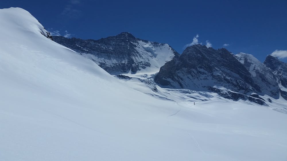
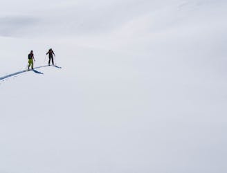
Once the steep pitch of the glacier is over then there’s just a short & mellow ski up to the ridgeline that can be bootpacked to reach the summit.

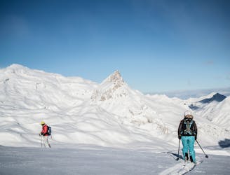
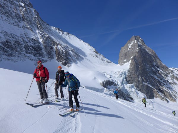
Being the highest in the Tarentaise, the summit of the Grande Casse is sublime with a 360 degree panorama spanning across France, Italy and Switzerland.

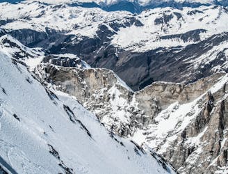
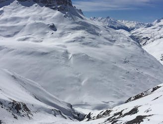
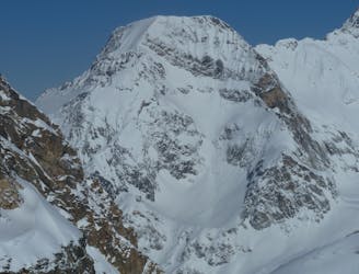
Descend slowly from the summit of the Grande Casse to then join onto the top ridgeline that spans across the top of the north face. Drop over onto the back (south) side of the ridgeline to skirt past a small rocky buttress before joining back onto the ridgeline to locate the top of the Face Nord Centrale which is marked by a small and extremely steep ramp leading onto the north face.

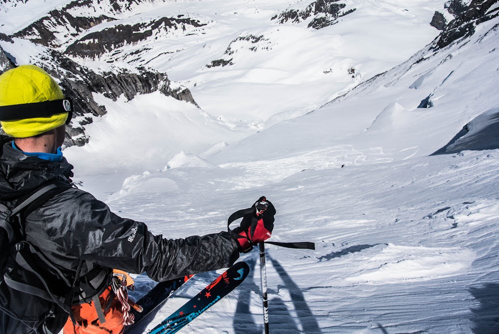
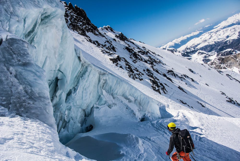
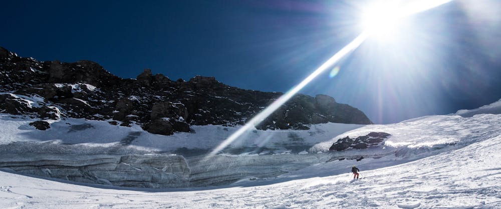
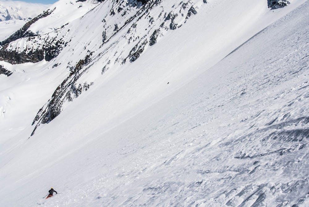
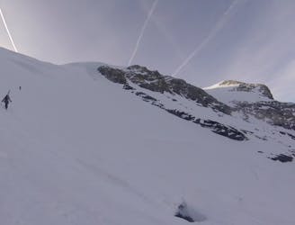
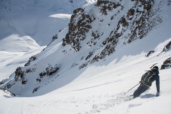
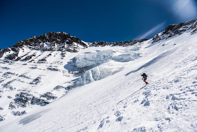
Dropping onto the north face via this ramp is unreal, with the extremely steep and exposed 700m face falling away below you - make sure you’re switched on on this top section. When the steepness relents slightly, you know you’re on top of the hanging glacier which is always shifting and changing each year. Cut off this hanging glacier with a skier’s left traverse onto the wide open north face and enjoy the consistently steep turns leading you down onto the Glacier de l’Epéna.

The entirety of this descent is steep, exposed and unrelenting, where a fall is completely out of the question. Visible directly from Tignes, this is definitely one which captivates the imagination of many looking on from the lifts, but few have the experience & fitness to safely descend it.

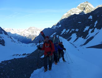
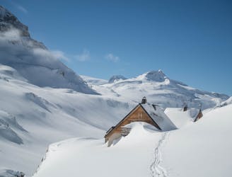
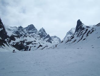
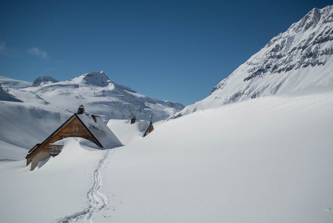
Take the final half of ‘Refuge du Col de la Vanoise Ski Tour’ to return to Tignes.

Difficulty

Extreme

Extreme skiing terrain above 45 degrees. These routes are reserved for experienced experts.

High Exposure (E3)

3 out of 4

In case of a fall, death is highly likely.

Remoteness

4 out of 4

In the high mountains or remote conditions, all individuals must be completely autonomous in every situation.

Best time to visit

between March and June

Features

  • Face
  • Alpine
  • Single Descent
  • Ski Mountaineering

Equipment required

  • Rope
  • Skins
  • Ice axe
  • Crampons

Similar routes nearby

Guidebooks in this area