4.1 km away
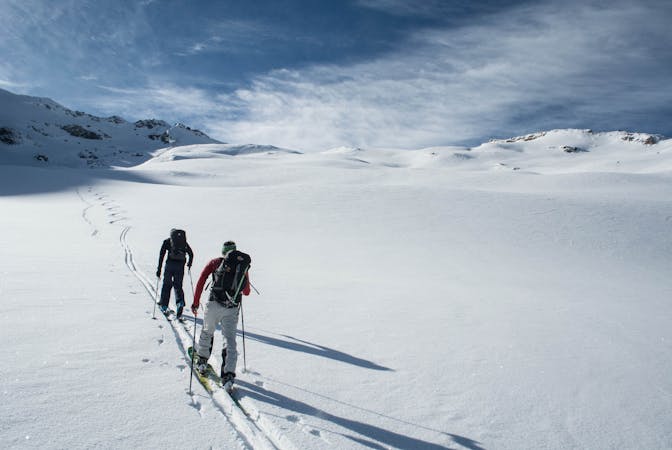
Grand Bec by the Glacier de Troquairou
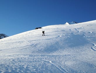
An iconic summit looming at the head of the Bozel valley.
Difficult Ski Touring
- Distance
- 14 km
- Ascent
- 2 km
- Descent
- 2 km
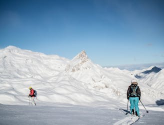
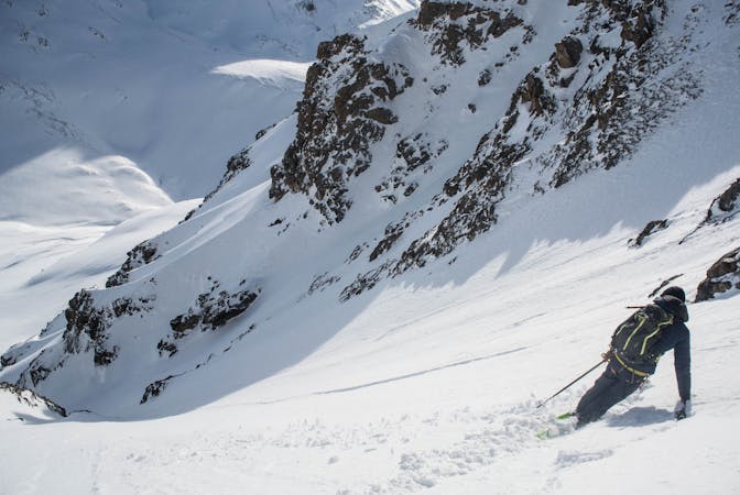
Très beau couloir assez engagé
Ski Touring Severe

This is a popular ski touring route which is generally considered to be severe. It's very remote, it features high exposure (e3) and is typically done between January and April. From a low point of 1.5 km to the maximum altitude of 3.4 km, the route covers 6.1 km, 279 vertical metres of ascent and 1942 vertical metres of descent. It's graded 4.1 and Labande grade 5. You'll need rope, skins, ice axe, crampons and glacier kit to complete it safely.
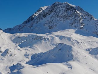
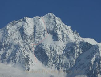
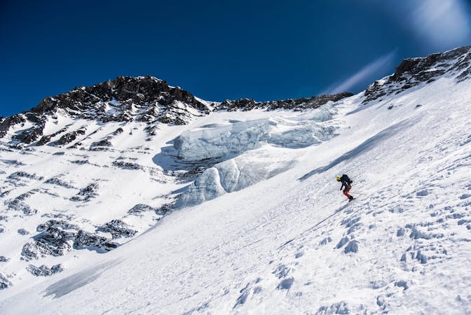
Face nord de Bellecote
Severe
Steep skiing at 38-45 degrees. This requires very good technique and the risk of falling has serious consequences.

In case of a fall, death is highly likely.
Little chance of being seen or helped in case of an accident.
4.1 km away
An iconic summit looming at the head of the Bozel valley.
Difficult Ski Touring
7.1 km away
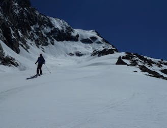
Hard off piste ski, requires skins and knowledge
Severe Ski Touring
7.7 km away
A beautiful tour through remote scenery, ideal for working on your fitness and keeping yourself well away from trouble on those high-risk days.
Easy Ski Touring
8.2 km away
A spring-time mega-classic!
Severe Ski Touring
8.5 km away
The Chauchefoin line - a Vanoise steep classic.
Extreme Ski Touring
9.7 km away
Only slightly easier than neighbouring ‘Face Nord Centrale’, the Petit Face Nord offers a great alternative to the Face Nord Centrale with slightly less exposure whilst retaining the amazing feeling of skiing on this wild north face.
Extreme Ski Touring
9.8 km away
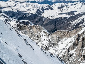
The huge line straight down the centre of the North Face, starting with a very steep, narrow opening from the centre of the top ridgeline of the Grande Casse. One only for the experienced skiers and mountaineers.
Extreme Ski Touring
5 routes · Ski Touring
19 routes · Ski Touring
5 routes · Freeride Skiing · Ski Touring
11 routes · Ski Touring