1.4 km away
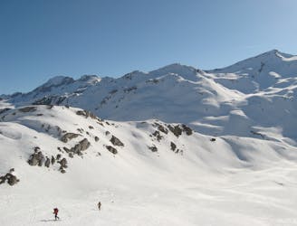
Grande Aiguille Rousse
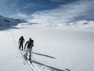
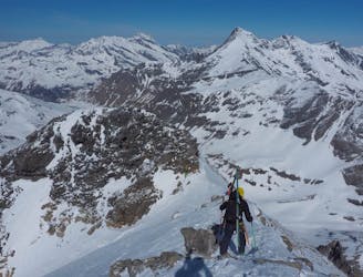
A great adventure! Take in the remote summit of the Grand Aiguille Rousse with a fantastic ski down the north face of this peak.
Severe Ski Touring
- Distance
- 14 km
- Ascent
- 742 m
- Descent
- 2 km
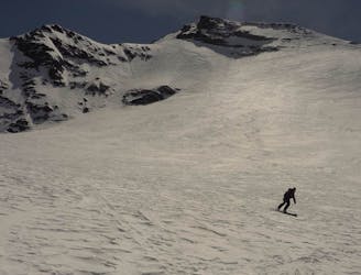
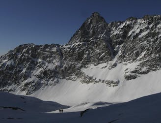
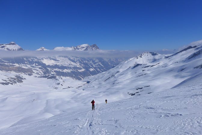
A sporty climb accesses a hidden north-facing gem
Ski Touring Difficult

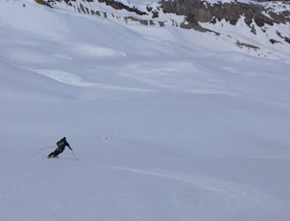
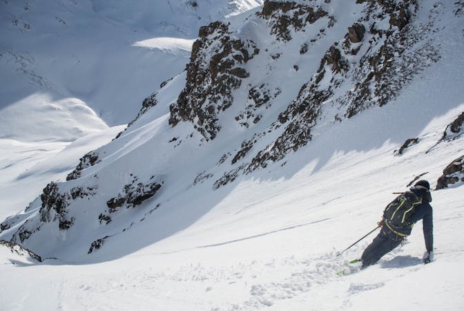
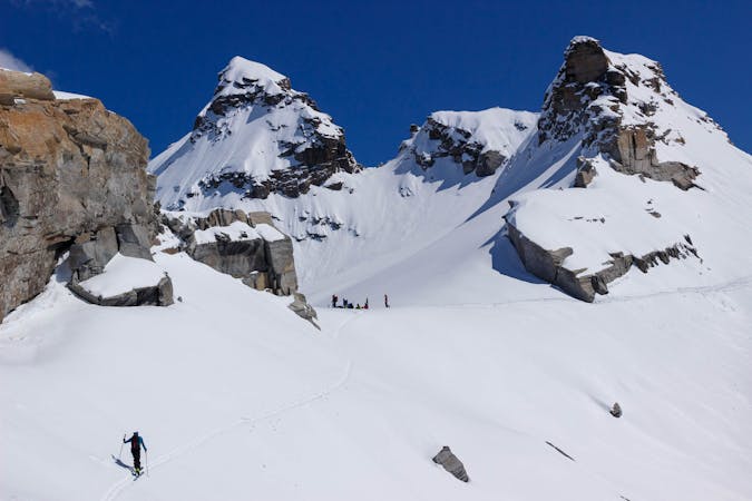
Start as if heading to Col Pers but instead of going over the Col, take off your skis and climb the steepish slope directly opposite. The ascent passes initially above a small cliff and then below another on the south-facing slope above the Combe du Géant piste, before cutting back and following the ridge to a saddle beneath the summit of the Signal de l'Iseran. The long north-facing bowl can hold cold, untracked powder long after a snow fall for a few hundred metres of relatively steep, wide-open skiing which then joins the Vallonnets descent down to the Pont Saint Charles bridge.
Difficult
Serious gradient of 30-38 degrees where a real risk of slipping exists.

As well as the slope itself, there are some obstacles (such as rock outcrops) which could aggravate injury.

Little chance of being seen or helped in case of an accident.
1.4 km away
A great adventure! Take in the remote summit of the Grand Aiguille Rousse with a fantastic ski down the north face of this peak.
Severe Ski Touring
3.8 km away
BIG day with an amazing north facing glacial ski from the top of Pointe de Méan Martin.
Severe Ski Touring
3.8 km away
Taking in the classic peak of Tsanteleina, this line should be on the bucket list for all keen ski tourers in the region.
Severe Ski Touring
5.6 km away
Fantastic skiing on a perfectly positioned glacier, a great full-on day covering a huge variety of terrain.
Severe Ski Touring
5.7 km away
A crucial link between two high huts, with some long high glacial sections and fabulous mountain scenery
Difficult Ski Touring
6.1 km away
A positioning day from the roadhead in Bonneval to a high hut
Moderate Ski Touring
8.1 km away
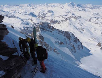
A memorable ski mountaineering traverse, with the addition of the Passage du Colerin to take you over to Italy
Severe Ski Touring
9.3 km away
This route is not visible from resort so it’s tough to check how the conditions are faring or how filled in the whole route is, but this is one incredible descent - take our word for it!
Extreme Ski Touring
9.9 km away
A great, long and mellow angled glaciated ski touring peak.
Moderate Ski Touring
9.9 km away
A classic ski touring peak on the Italian/French border
Moderate Ski Touring
19 routes · Ski Touring
5 routes · Freeride Skiing · Ski Touring
3 routes · Ski Touring
6 routes · Ski Touring