1.6 km away
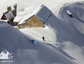
Sidecountry in Kobi valley
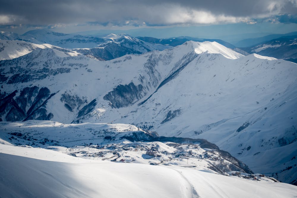
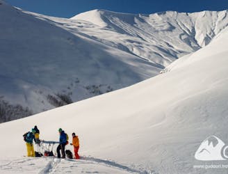
The routes to Kobi are the most visited in Gudauri due to their accessibility, endless runs, and the big vertical height difference.
Easy Ski Touring
- Distance
- 5.3 km
- Ascent
- 228 m
- Descent
- 604 m
Circular long combined route in the conditions of closed Cross Pass and impossibility to return to the resort by car.
Ski Touring Difficult

Great opportunity to enjoy pristine powder not far from the resort in the first days after the snowfall, even if it’s impossible to return to the resort by car.
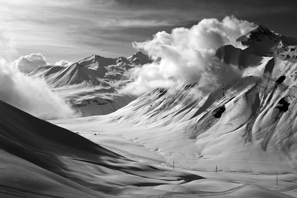
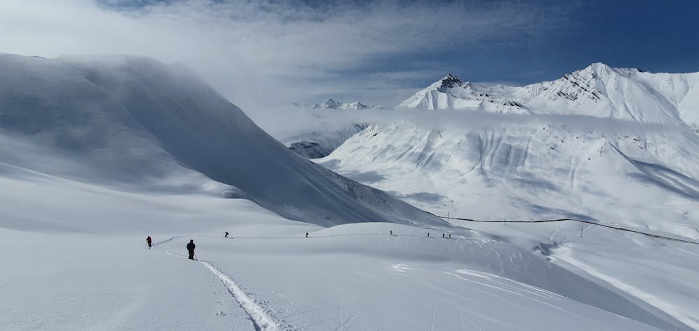
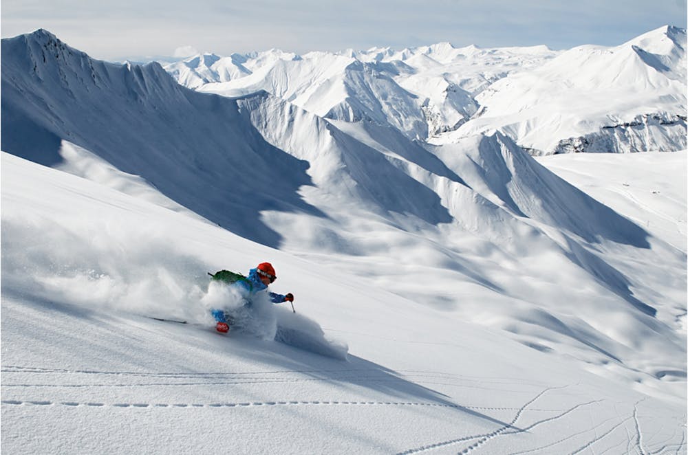
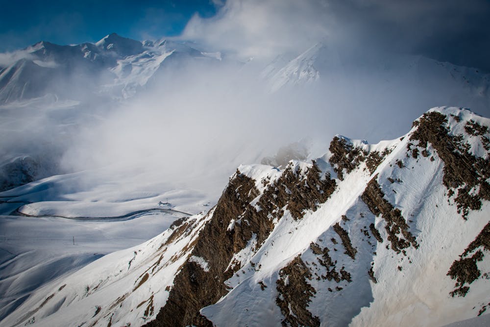
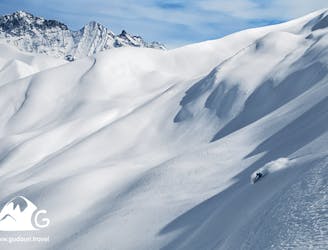
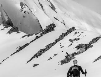
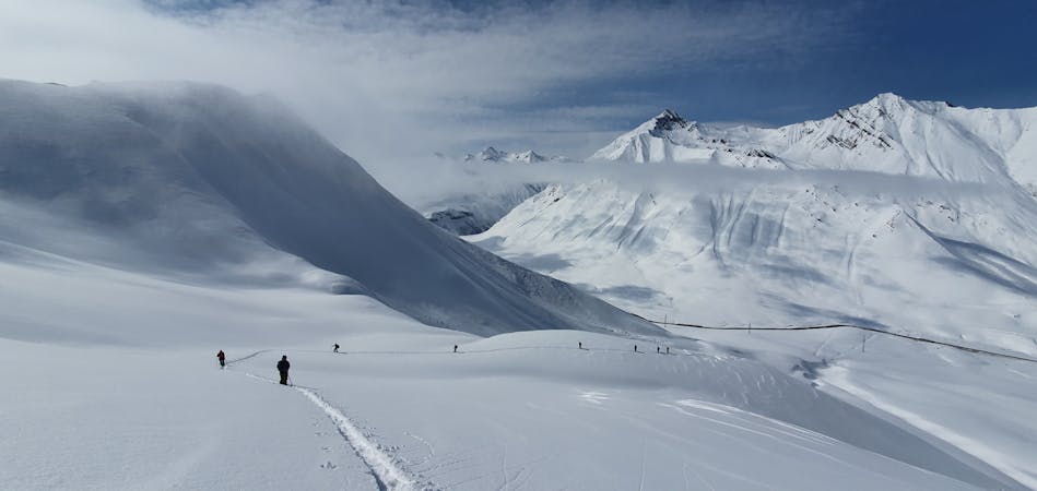
During the days of snowfalls, cars traffic through the Cross Pass is prohibited and not many would dare to go from the resort to the western cirque of Bidara. This route for advanced ski-tourists and splitboarders allows to make two good descents on pristine snow and enjoy the landscapes around the Cross Pass.
The route starts as a standard route on the Bidara ridge from the Gudauri Resort.
There are three ascents and three descents on the route, the second ascent is the most energy-consuming, but the following descent is the most exciting one.
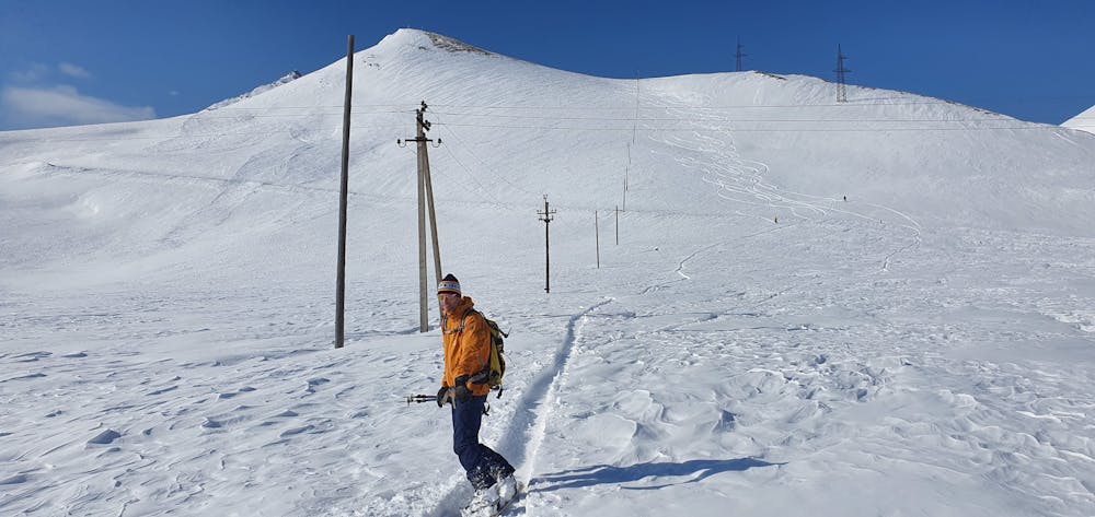
After the descent from Bidara ridge to the western cirque, the ascent to the southern edge of Bidara starts (https://fatmap.com/routeid/1148398adventure-studio/SkitouringonthesouthernridgeofBidaraMt.fromthewest./). After descent on the Georgian Military Road, you have to walk by the road to the Cross Pass mark, then turn off the road to the left and follow the power line to the descent to the Georgian Military Road in the area of a lonely-standing stone ruined hotel. From this point you have to walk about an hour on foot through an open tunnel (locals call it "gallery") to the Gudauri resort. Then, turning off from the old stone post office (built in 1824 year) in the direction of the Alpina hotel, after 10 minutes you can get into the resort’s piste and ski lifts area.
If traffic through the Cross Pass resumes during your pass through the route, you can call a taxi from Gudauri. It’s useful to have a phone number of a taxi driver you know for such a case.
Difficult
Serious gradient of 30-38 degrees where a real risk of slipping exists.

Exposure is limited to that of the slope itself. Getting hurt is still likely if the slope is steep and/or the snow is hard.

Away from help but easily accessed.
1.6 km away
The routes to Kobi are the most visited in Gudauri due to their accessibility, endless runs, and the big vertical height difference.
Easy Ski Touring
1.6 km away
In Gudauri, this is the fastest and surest way to find perfect snow with a vertical drop more than a kilometer with the use of ski lifts.
Moderate Ski Touring
3.1 km away
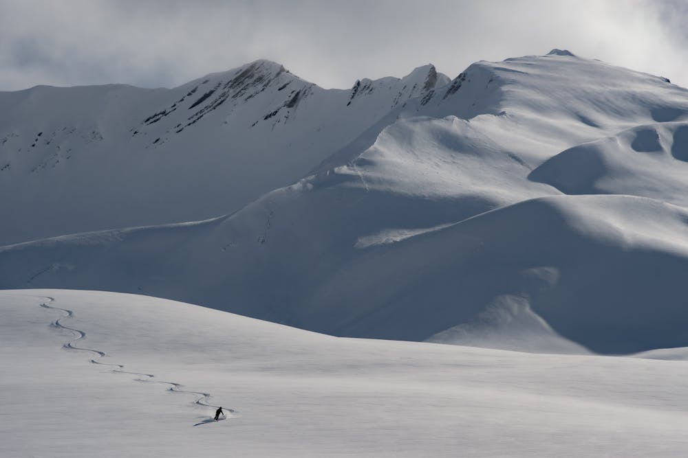
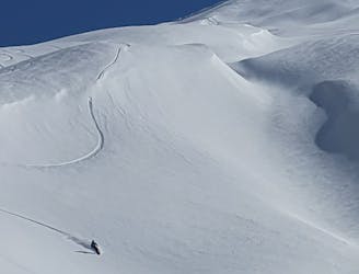
The vast snowfields of Shele and the giant ridges of Miketi form an opportunity to leave your epic line on untouched powder - the dream of every freerider.
Moderate Ski Touring
3.5 km away
Great fall-line skiing, but tricky route-finding.
Moderate Ski Touring
3.8 km away
A beautiful, remote route, striking because of its scale and landscapes and large selection of lines for descent.
Difficult Ski Touring
7.3 km away
If visiting an ancient Orthodox monastery, hidden on a mountain range where five monks live all year round sounds like an unforgettable adventure that you would enjoy, then this is the route to take.
Moderate Ski Touring
7 routes · Ski Touring