1.3 km away
North Shore Downhill Müggelberge Loop
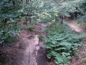
Berlin's best downhill track in a great area for MTB.
Moderate Mountain Biking
- Distance
- 4.4 km
- Ascent
- 142 m
- Descent
- 142 m
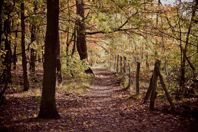
Strandbad Müggelsee – Müggelseeblick Loop from Start
Mountain Biking Moderate

This is a popular mountain biking route which is generally considered to be moderate. It's an unknown remoteness, it features unknown exposure and is typically done in an unknown time of year. From a low point of 32 m to the maximum altitude of 107 m, the route covers 30 km, 166 vertical metres of ascent and 166 vertical metres of descent.
Moderate
Mostly stable trail tread with some variability, with unavoidable obstacles 8in/20cm tall or less. Other obstacles such as rock gullies and steep sections may exist. Ideal for lower intermediate riders.
1.3 km away
Berlin's best downhill track in a great area for MTB.
Moderate Mountain Biking
5 routes · Mountain Biking