46 m away
Grunewald Teufelsberg Loop
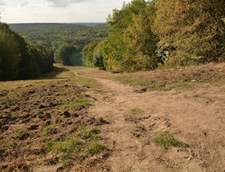
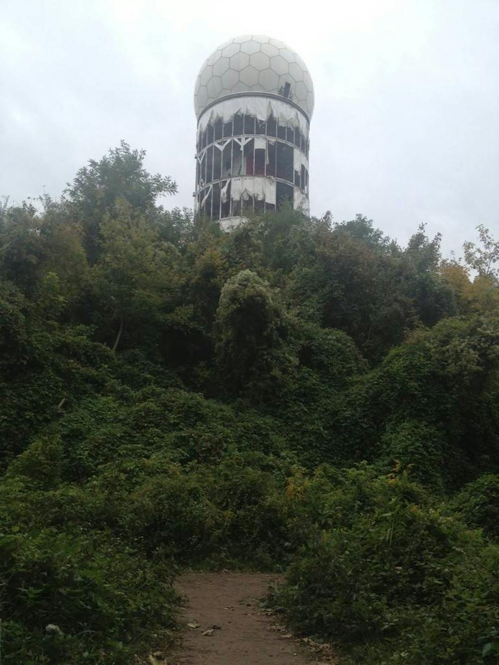
Head west of Berlin to Teufelsberg, or “Devil’s Mountain,” for some prime Berlin MTB.
Moderate Mountain Biking
- Distance
- 16 km
- Ascent
- 241 m
- Descent
- 241 m
Teufelsberg – Single Trail Postfenn Loop from Grunewald
Mountain Biking Difficult

This is a popular mountain biking route which is generally considered to be difficult. It's an unknown remoteness, it features unknown exposure and is typically done in an unknown time of year. From a low point of 33 m to the maximum altitude of 107 m, the route covers 25 km, 453 vertical metres of ascent and 453 vertical metres of descent.
Difficult
Mostly stable trail tread with some variability featuring larger and more unavoidable obstacles that may include, but not be limited to: bigger stones, roots, steps, and narrow curves. Compared to lower intermediate, technical difficulty is more advanced and grades of slopes are steeper. Ideal for upper intermediate riders.
46 m away
Head west of Berlin to Teufelsberg, or “Devil’s Mountain,” for some prime Berlin MTB.
Moderate Mountain Biking
5 routes · Mountain Biking