15 m away
Kedar Tar Trail Run
Another excellent acclimatization run on the more popular Kedar Tal route.
Moderate Trail Running
- Distance
- 20 km
- Ascent
- 2.2 km
- Descent
- 2.2 km
An excellent acclimatization route above the Gangotri Caves
Trail Running Easy

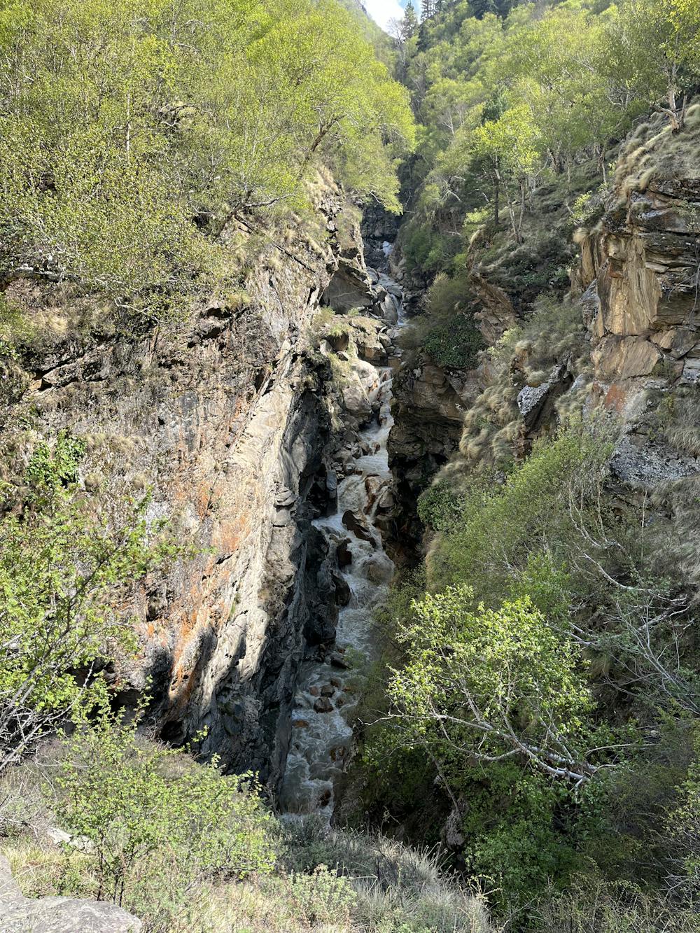
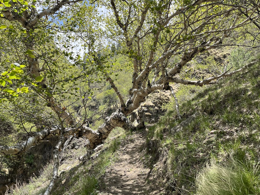
This is a faint trail leading up to the grassy slopes below the Gangotri Peaks. It's less often travelled than Kedar Tal so you're unlikely to see anything other than mountain goats! From the caves, turn up the narrow Rudugaira valley and find the trail up the canyon. It crosses the river on a log bridge and then stays on the right side.
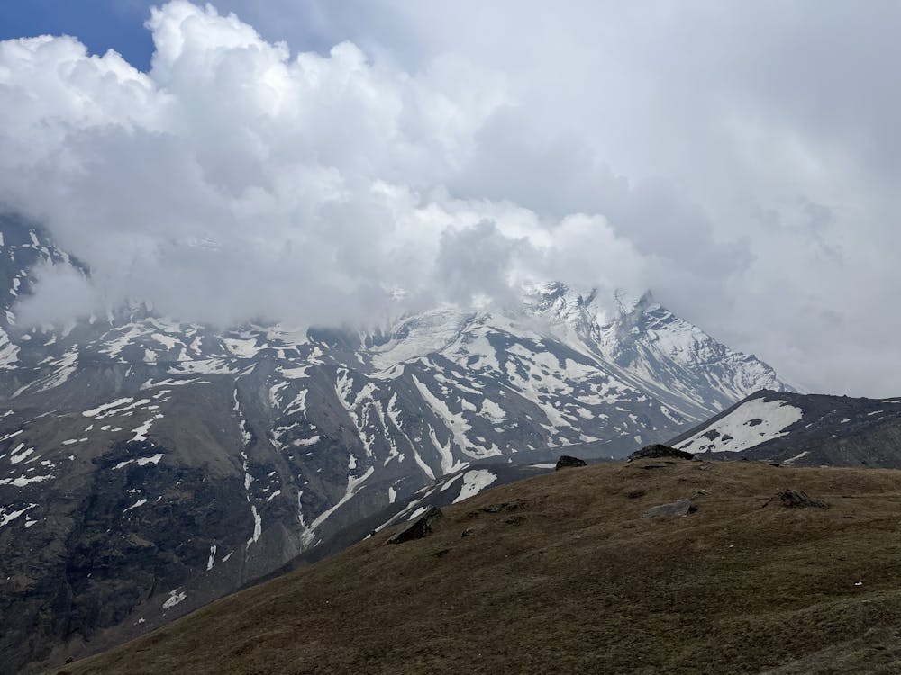
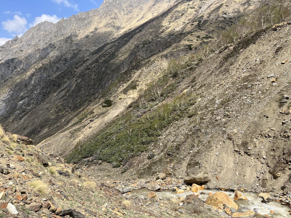
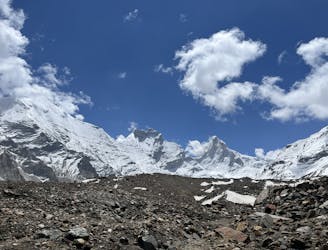
Further up, you get above treeline into open terrain. Stay high and right to find the trail. Campsites abound but be cautious of avalanche hazard if there is snow in the peaks above. These are HUGE slopes! The trail continues towards the glacier before turning uphill towards Gangotri II Peak and a beautiful lookout above 4500m.
Easy

The path is on completely flat land and potential injury is limited to falling over.

Little chance of being seen or helped in case of an accident.
15 m away
Another excellent acclimatization run on the more popular Kedar Tal route.
Moderate Trail Running
51 m away
The big trek of the region! And access to the big mountains of Uttarakhand.
Moderate Trail Running