5 km away
Traverse Plan de la Lai to Les Mottets via Col des Fours
A straightforward route offering a multitude of alpine highlights along the way.
Moderate Hiking
- Distance
- 18 km
- Ascent
- 1.3 km
- Descent
- 1.2 km
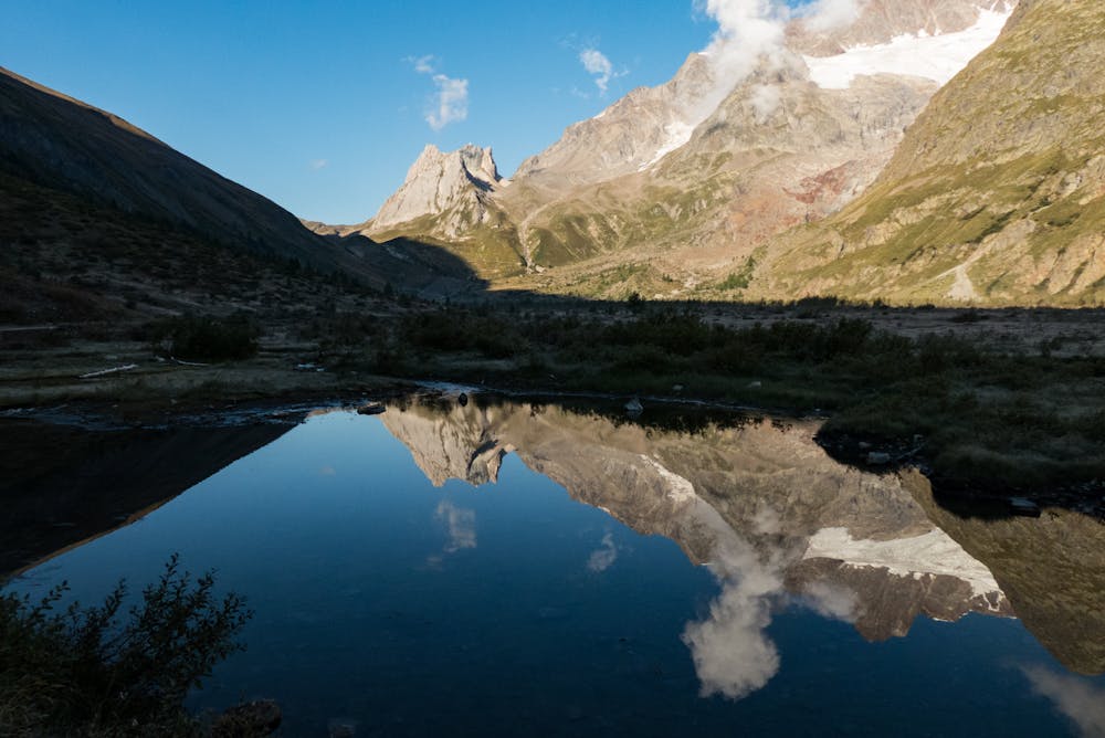
Day 4: A long day with a gradual climb and an equally gradual descent which takes you on the first border crossing of the Tour du Mont Blanc, from France to Italy via the wide and bleak-feeling Col de la Seigne.
Also in Savoie, France
Hiking Difficult

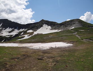
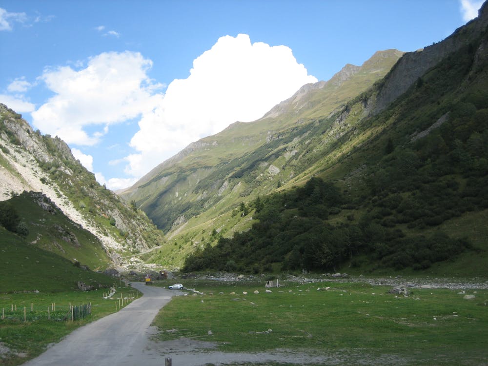
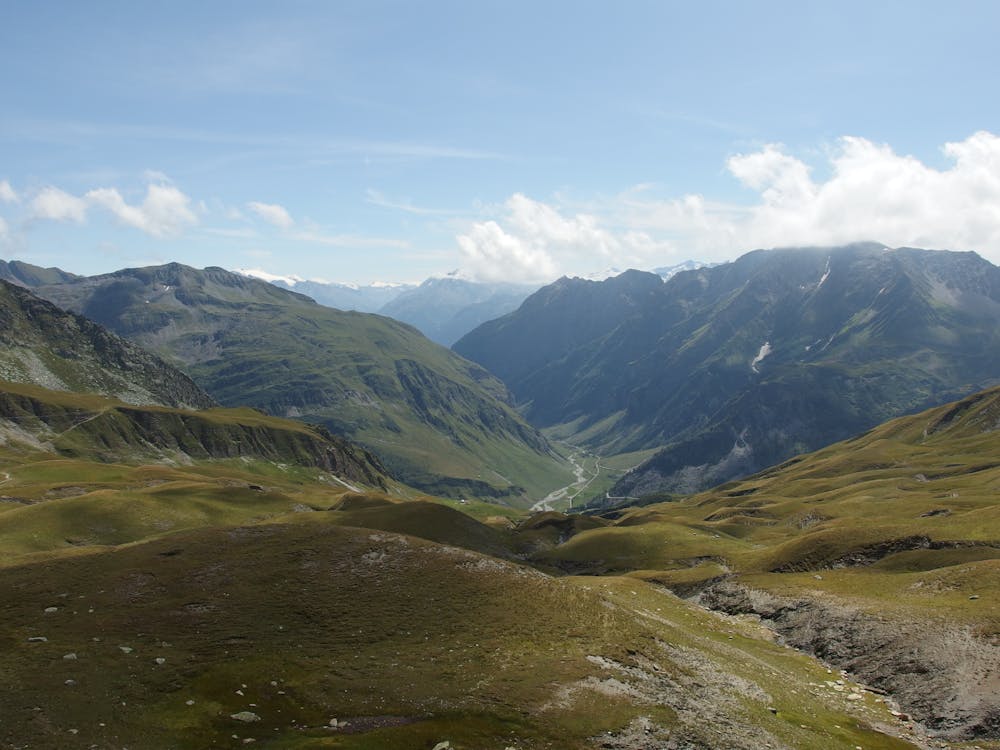
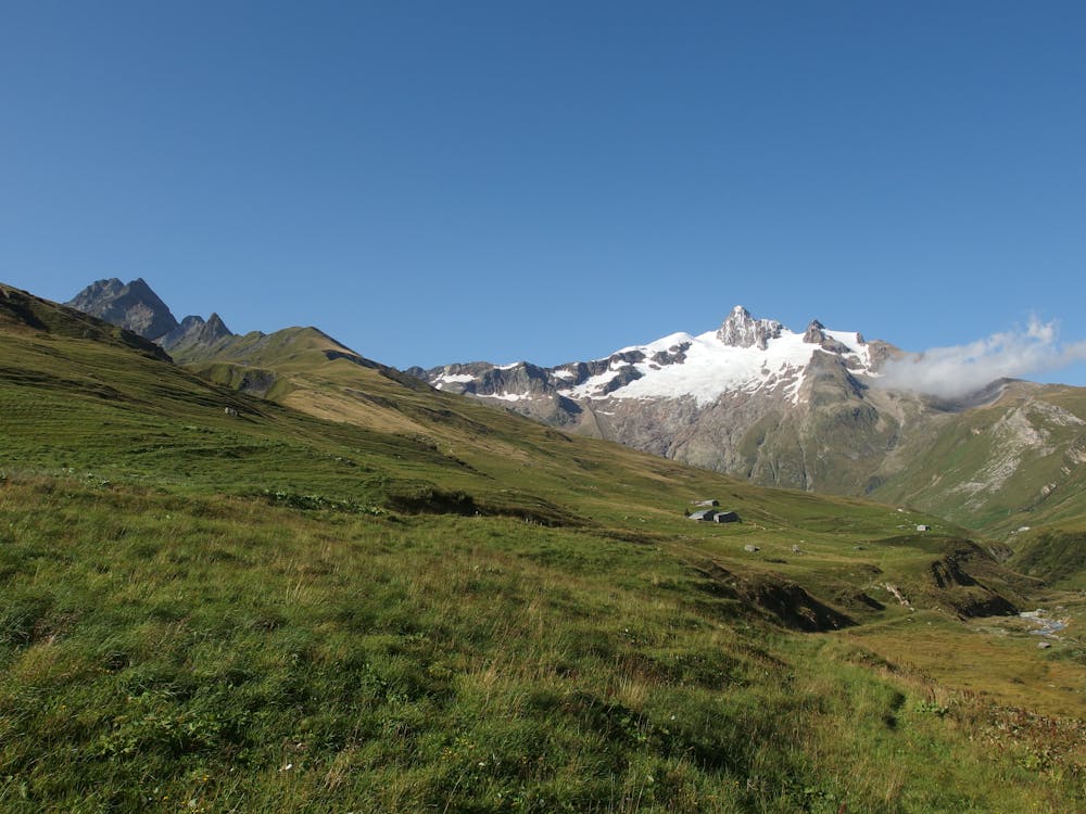
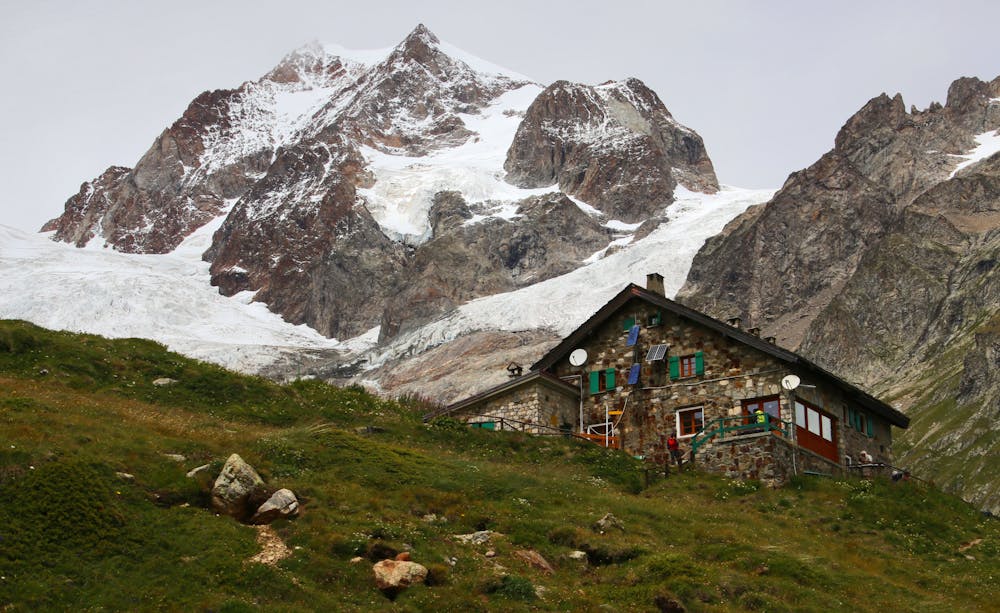
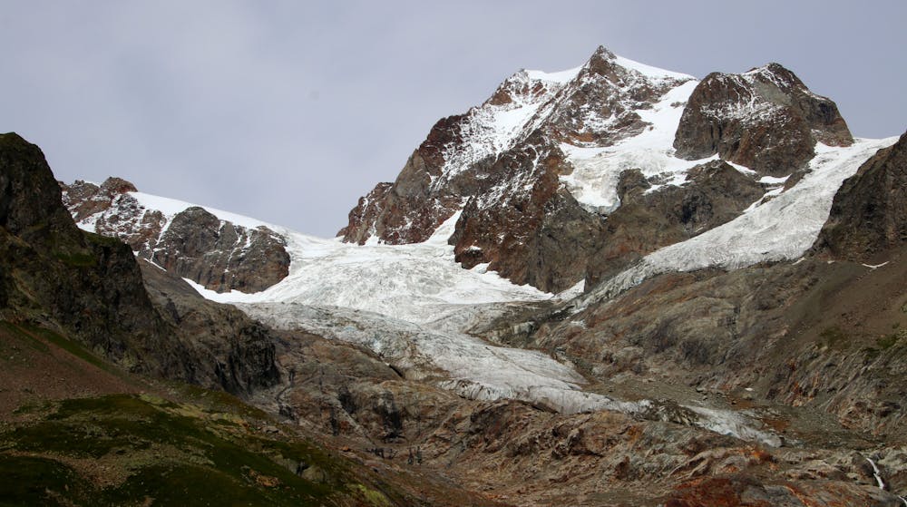
Follow the tarmac road northeast out of Les Chapieux for 1.5 - 2 hours until it ends at la Ville des Glaciers (1789 metres). Walking on a road is never as pleasant as on a path but the scenery should keep you entertained even if the terrain underfoot does not. A further 1.5 - 2 hours, now on a good and well-marked trail, leads you up to the Col de la Seigne (2516 metres) and the Italian border. The col itself is quite bleak but it enjoys a perfect view of Mont Blanc's wild and remote west face. Continue on the trail as it leads downhill for 45 minutes through meadows to the Rifugio Elisabetta Soldini (2195 metres). En route to the Rifugio is a small stone building which was recently converted into an exhibition about the local wildlife; it is well worth 10 minutes of your time checking it out. From the Rifugio, continue down on the path for a further hour, which initially descends and then traverses past the Lac de Combal (Lago di Combal in Italian) lake to a small stone bridge at the eastern end of it. 3 kilometres more walking, now on a tarmac road, leads to a larger bridge and a parking area next to the Chalets de Miage restaurant. An hourly bus runs from here down to the town of Courmayeur. Opting to walk this section instead of taking the bus would be a very long, hot and tedious slog, so don't make the mistake of not taking the bus! Courmayeur is charming and has numerous options for accommodation and dining.

Difficult
Hiking trails where obstacles such as rocks or roots are prevalent. Some obstacles can require care to step over or around. At times, the trail can be worn and eroded. The grade of the trail is generally quite steep, and can often lead to strenuous hiking.
5 km away
A straightforward route offering a multitude of alpine highlights along the way.
Moderate Hiking

14 routes · Hiking