5.6 km away
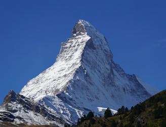
Matterhorn East Face
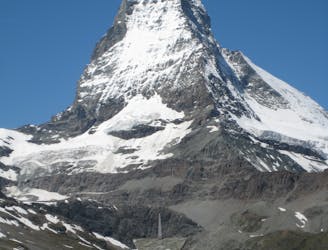
A major extreme line on one of the World's most famous mountains
Extreme Ski Touring
- Distance
- 3.8 km
- Ascent
- 1.1 km
- Descent
- 1.1 km
A super long ride that will end close to one of the best restaurants in this area.
Ski Touring Difficult

This is one of the least popular freeride lines here and can be done only when snow conditions (read snowpack) are good enough. You will need both a thick snowpack and opportune avalanche conditions because nobody will see you here in case of a slide. Although this the run is easy it is recommended for intermediate to expert riders just because it's important to follow the right lines to avoid a walk on flat terrain and deep snow... Drop in from the black pistes at Cieloalto, staying leftwards and following the entry mapped here. Then you go through varying terrain, both woods and open slopes, some steeper areas as well as some almost flat sections. It's one of the best freerides here because it doesn't finish on an area served by lifts and this lack of convenience keeps people away!
Difficult
Serious gradient of 30-38 degrees where a real risk of slipping exists.

As well as the slope itself, there are some obstacles (such as rock outcrops) which could aggravate injury.

In the high mountains or remote conditions, all individuals must be completely autonomous in every situation.
5.6 km away
A major extreme line on one of the World's most famous mountains
Extreme Ski Touring
7.3 km away
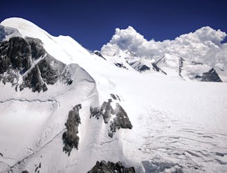
Day 1: Zermatt/Cervinia, Breithorn, Ayas Hut using the cable car to the Klein Matterhorn to start
Difficult Ski Touring
8.7 km away
A huge climb to a 4000m peak then a 2500m descent!
Difficult Ski Touring
8.7 km away
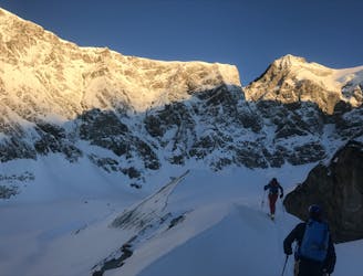
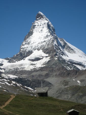
Starting with an amazing backdrop of the Matterhorn in the morning light this unforgettable traverse takes you over a high pass into remote mountain wilderness to the N.
Difficult Ski Touring
9.5 km away
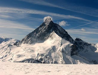
A warm up day that can be lift assisted, travelling under the awe inspiring N face of the Matterhorn to the traditional Schonbiel Hut, well off the beaten track.
Difficult Ski Touring

5 routes · Ski Touring
5 routes · Ski Touring

16 routes · Ski Touring
3 routes · Ski Touring