5.8 km away
Punta Croce
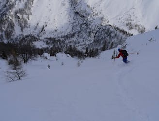
A remote-feeling peak which provides huge views across Mont Blanc's South face and some fantastic tree skiing.
Moderate Ski Touring
- Distance
- 9.2 km
- Ascent
- 826 m
- Descent
- 825 m
A wild and remote valley to a fabulous descent, then a long valley journey to a superb hut
Ski Touring Difficult

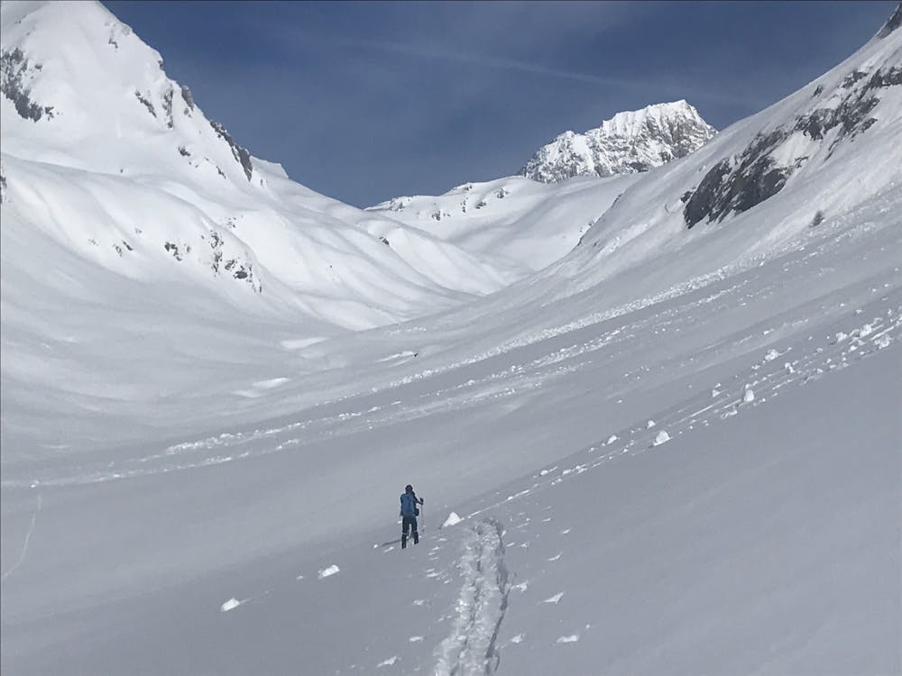
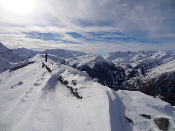
La Thuile is a busy hub and not an easy place to start your journey from, as the deep sided valley usually contains avalanche debris. Head in the easiest possible way towards the Youla valley. We stayed on the N side of the streambed and did a rising traverse, crossing several large tongues of frozen debris. It might be as easy to descend the valley near the river, then do a steeper ascent to gain the summer zigzag track, that takes you past the small hamlets of Montagnole and Arp-Desot. In any case the higher you go the easier it becomes as you skin up the Youla valley. You may see the odd down track from the Courmayeur lift system, but chances are you will be alone. This all changes as you head towards your high point for the day, the Col de Youla at 2661m, and what a view! The Himalayan sized S side of Mt Blanc lays before you, with the huge Miage Glacier to its L. Sadly, as you have put all the work in, you won’t be alone, as this is a popular off piste descent from the Courmayeur lifts. Nonetheless the sweet powder bowl below has plenty of space for your tracks, funnelling down to the steep N facing Vesse Couloir, taking you all the way down to upper Val Veny, at 1770m.
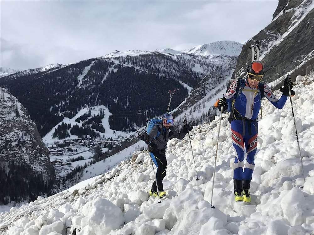
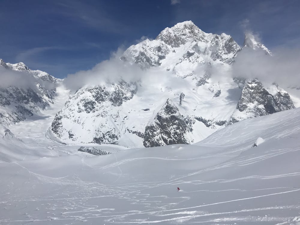
This is not a day to be done in elevated avalanche danger as it is a well-known avalanche black spot, but in safe conditions it is a fantastic and popular descent.
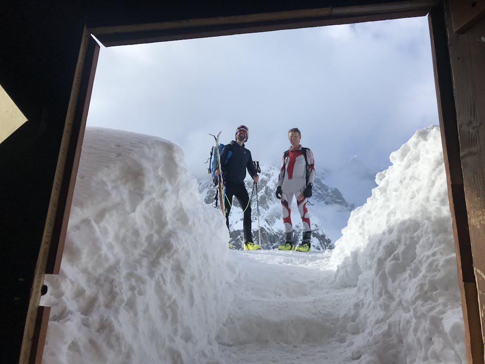
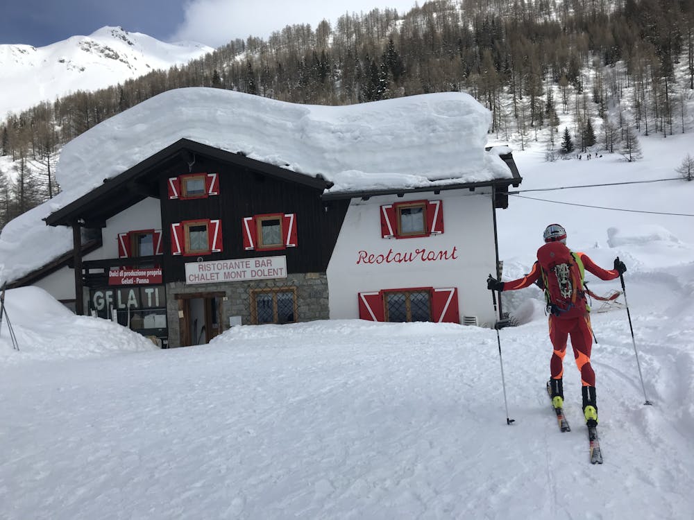
The character completely changes now, with very gently downhill tracks taking you all the way down to the Val Veny cable car. From here you will be walking initially, then skinning up cross country ski tracks, to the upper reaches of Val Ferret, to the hamlet of Lavachey. Shortly after here it is the well-travelled track to the Bonatti Hut, sumptuous in both location and comfort, directly opposite the Grandes Jorasses.
Difficult
Serious gradient of 30-38 degrees where a real risk of slipping exists.

As well as the slope itself, there are some obstacles (such as rock outcrops) which could aggravate injury.

Little chance of being seen or helped in case of an accident.
5.8 km away
A remote-feeling peak which provides huge views across Mont Blanc's South face and some fantastic tree skiing.
Moderate Ski Touring

50 routes · Freeride Skiing · Ski Touring
3 routes · Ski Touring