5.1 km away
Alta Via 2 – Rifugio Viel dal Pan to Rifugio Contrin including Monte Colac (2,715m) Summit via Dei Finanzien Via Ferrata
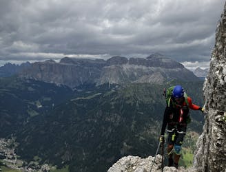
A big day for those chasing another vertical via ferrata!
Extreme Hiking
- Distance
- 19 km
- Ascent
- 1.6 km
- Descent
- 2 km
Another long day out on the AV2 trail!
Also in Trento, Italy
Hiking Severe

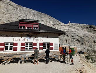
Starting Location: Rifugio Contrin Ending Location: Rifugio Passo Valles Optional Routes: (A) Col Margherita Gondola Regional Map: Tabacco Map 06 Path Numbers: 607, 658 Places to eat/drink on route: Rifugio Fuciade, Passo San Pellegrino
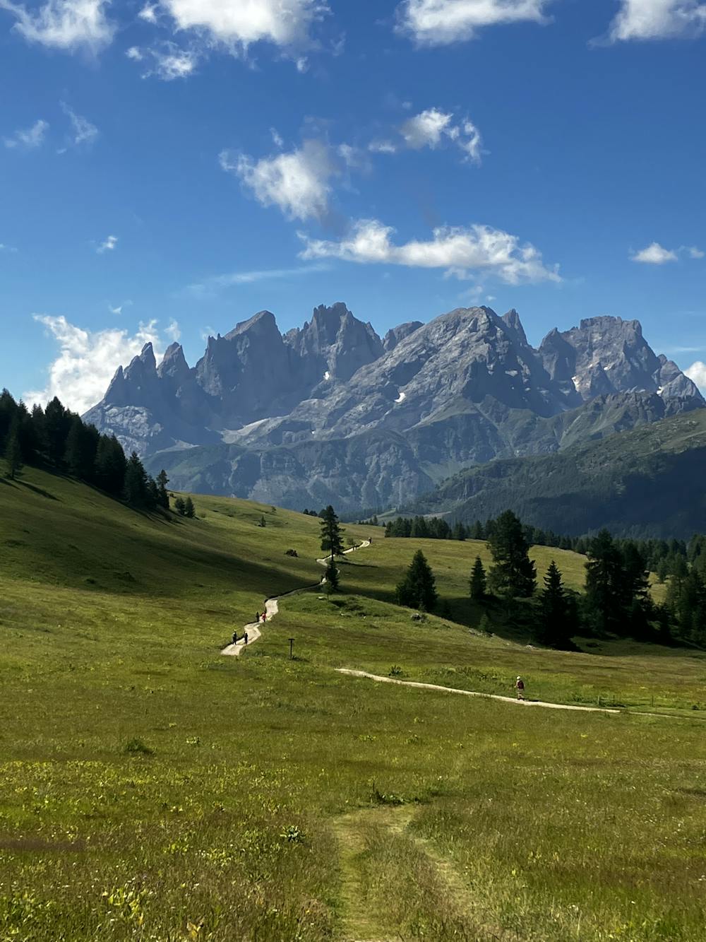
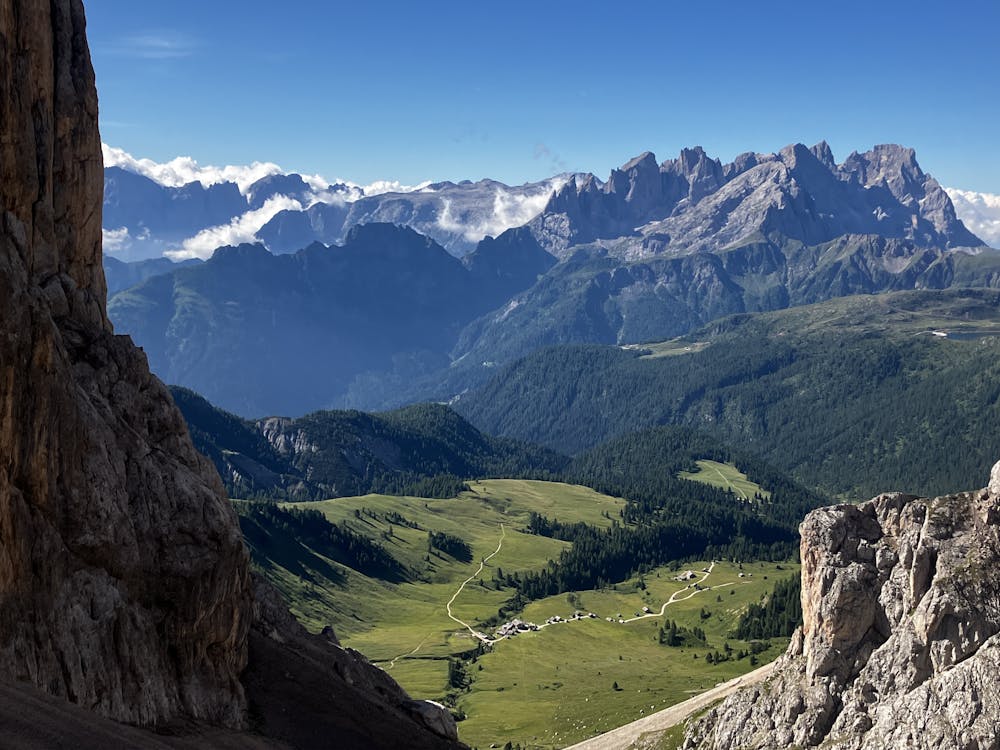
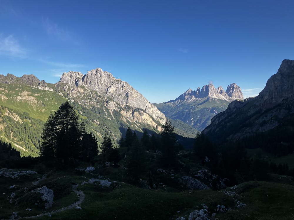
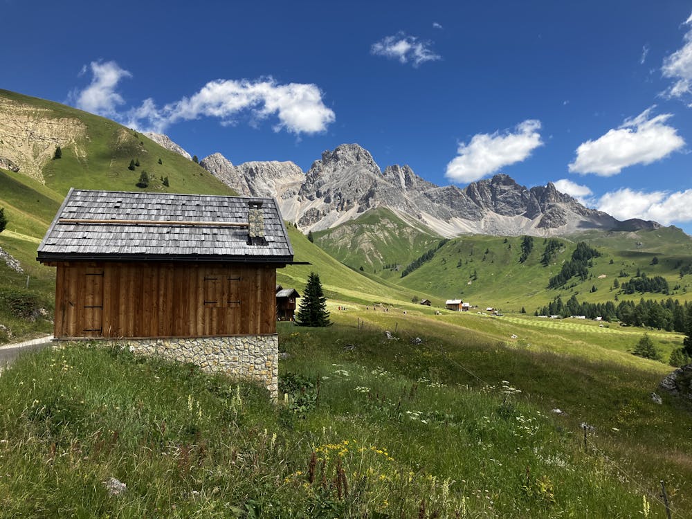
A long day on the legs that covers a good number of AV2 kilometres. Leave Rifugio Contrin heading southeast up the valley on path 607. A recommendation would be to leave early after breakfast to allow for an ascent in the shade, not in the full sun.
Roughly 1hour 40minutes from Rifugio Contrin you will reach a junction with a cross covered in barbed wire. No, you haven’t walked into a satanic mountain cult hideout. The barbed wire is to stop the local wildlife from using it as a scratching post. Continue on path 607 aiming for Rifugio Fuciade.
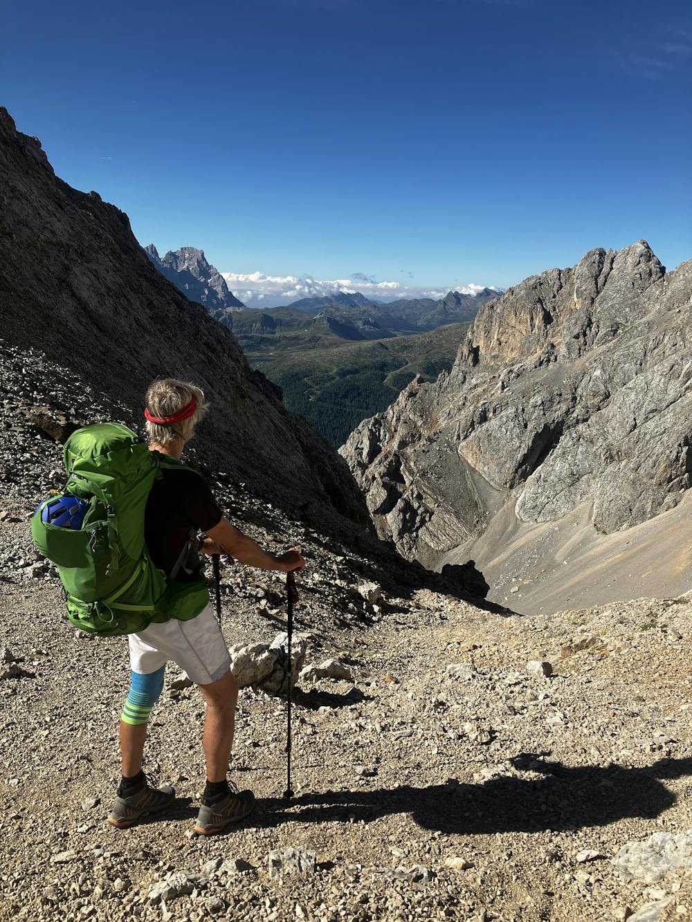
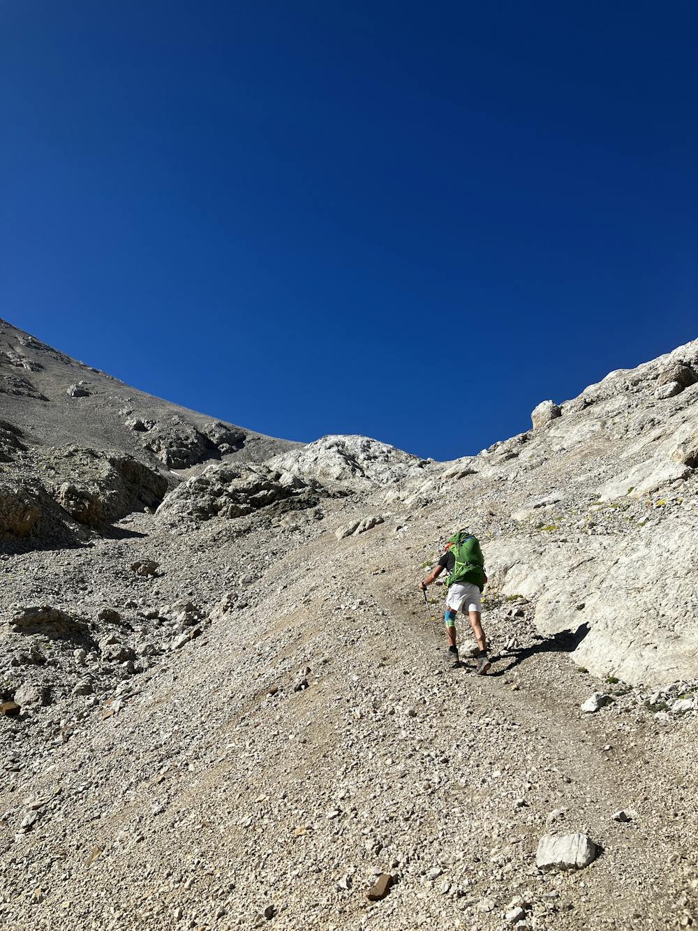
Reach the saddle of Passo Cirele and take the long descent down the hefty scree slope towards Rifugio Fuciade. The path here zig zags all over the place so take your time and be sensible with route choice.
Rifugio Fuciade may seem quiet in the early hours of the morning but by lunchtime you’ll think you’ve arrived in Disneyland as literally hundreds of tourists ascend to this very nice rifugio for lunch. Hike down path 607 towards Passo San Pellegrino that seems to go on forever.
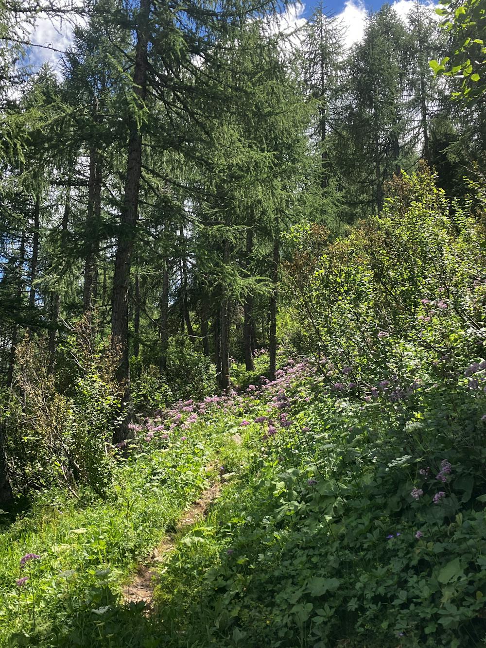
Down at Passo San Pellegrino, carefully follow the GPX file to find the correct path of 658 that climbs the other side of the valley. The ascent is long and tiring composing first of wooded terrain before entering a ski resort and more open terrain.
Optional Route (A) – To avoid the climb, take the Col Margherita gondola and at the top station, descend south on path 695 to connect with 658. Gondola information can be found here:
https://www.fassa.com/EN/Lifts-opening-times-and-prices/
Follow path 658 as it slogs its way through the ski resort towards Passo Valles. The terrain is open here and it provides nice views of the surrounding landscape.
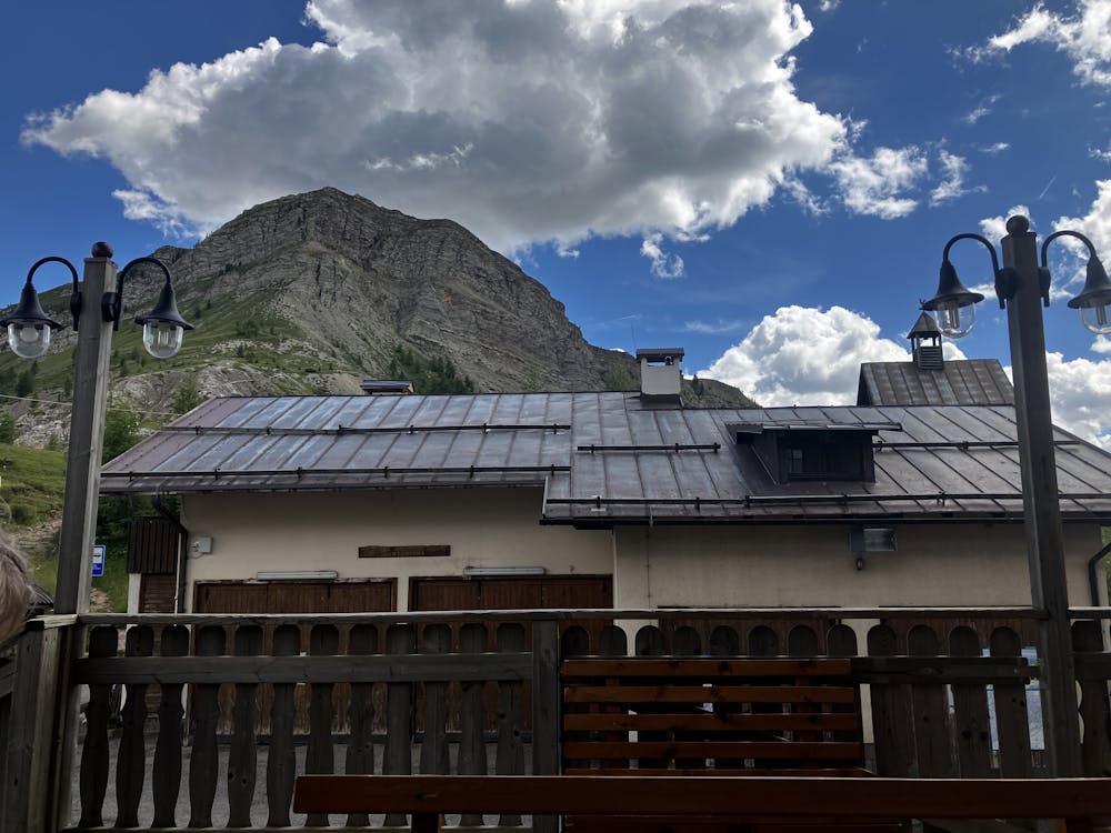
Rifugio Passo Valles https://www.passovalles.com/en/
This hike and guide were completed during summer weather conditions. This is just one opinion of this route. Make sure to do your own research by consulting internet resources, guidebooks or mountain guides to evaluate other opinions so you can be best prepared for the terrain.
A Guide by Red
Severe
Hiking challenging trails where simple scrambling, with the occasional use of the hands, is a distinct possibility. The trails are often filled with all manner of obstacles both small and large, and the hills are very steep. Obstacles and challenges are often unexpected and can be unpredictable.

Some trail sections have exposed ledges or steep ascents/descents where falling could cause serious injury.
Little chance of being seen or helped in case of an accident.
5.1 km away
A big day for those chasing another vertical via ferrata!
Extreme Hiking
9.5 km away
A good day of hiking with an incredible viewpoint!
Severe Hiking

11 routes · Hiking