Alta Via 2 – Rifugio Passo Valles to Rifugio Mulaz
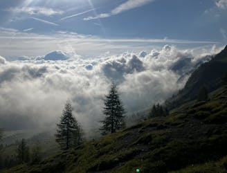
A shorter day on the AV2 but options to explore!
Severe Hiking
- Distance
- 6.5 km
- Ascent
- 748 m
- Descent
- 227 m
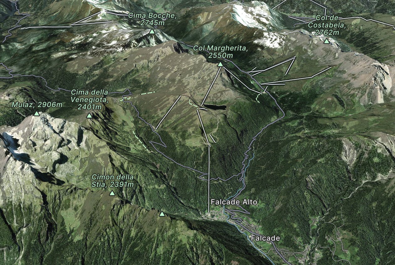
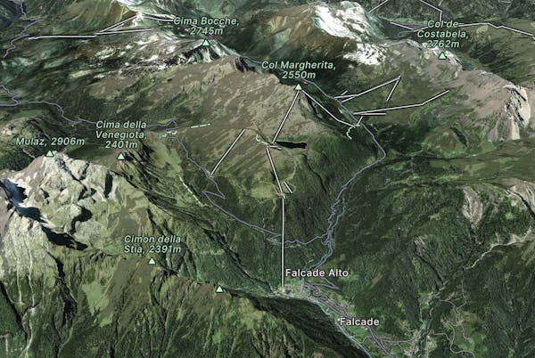
Explore San Pellegrino with curated guides of the best routes. With over 6 3D trail maps in FATMAP, you can easily discover and navigate the best trails in San Pellegrino.
No matter what your next adventure has in store, you can find a guide on FATMAP to help you plan your next epic trip.
Get a top trail recommendation in San Pellegrino from one of our 3 guidebooks, or get inspired by the 6 local adventures uploaded by the FATMAP community. Start exploring now!
A shorter day on the AV2 but options to explore!
Severe Hiking
Another long day out on the AV2 trail!
Severe Hiking
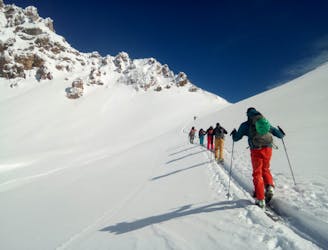
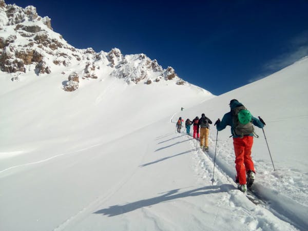
A linear cruise through some typically beautiful Dolomites valleys.
Easy Ski Touring
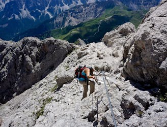
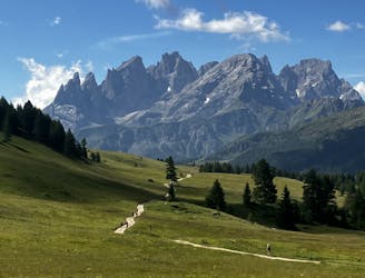
The strenuous “Way of the Legends” high altitude hiking trail across the Dolomites.
Difficult Hiking

from San Pellegrino to Croce D'Aune
Severe Hiking

Sentiero semplice e adatto a tutti in quota
Moderate Hiking

10 routes · Hiking
3 routes · Ski Touring

11 routes · Hiking