4.5 km away
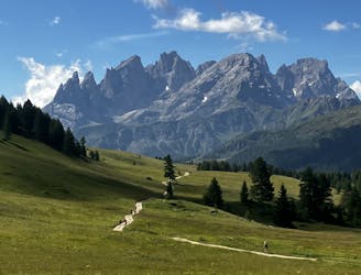
Alta Via 2 – Rifugio Passo Valles to Rifugio Mulaz
A shorter day on the AV2 but options to explore!
Severe Hiking
- Distance
- 6.5 km
- Ascent
- 748 m
- Descent
- 227 m
from San Pellegrino to Croce D'Aune
Also in Trento, Italy
Hiking Severe

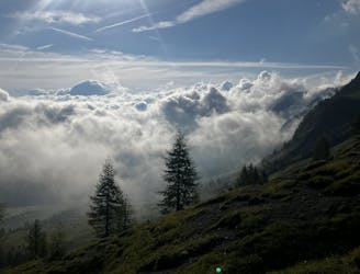
This is a popular hiking route which is generally considered to be severe. It's remote, it features high exposure and is typically done between June and September. From a low point of 1 km to the maximum altitude of 2.8 km, the route covers 75 km, 6120 vertical metres of ascent and 7018 vertical metres of descent.
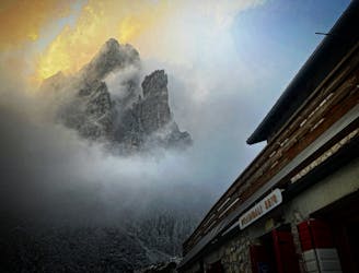
Part two of the Alta Via 2 : from San Pellegrino (with extra hike the first day, to Passo Valles, then Mulaz, Rosetta, Treviso, Cereda, Boz, and Dal Piaz to end in Croce 'dAune. Beatiful hike, many secured passages, no need for via Ferata gear if experienced;
Severe
Hiking challenging trails where simple scrambling, with the occasional use of the hands, is a distinct possibility. The trails are often filled with all manner of obstacles both small and large, and the hills are very steep. Obstacles and challenges are often unexpected and can be unpredictable.

Some trail sections have exposed ledges or steep ascents/descents where falling could cause serious injury.

Away from help but easily accessed.
4.5 km away
A shorter day on the AV2 but options to explore!
Severe Hiking
6 km away
Another long day out on the AV2 trail!
Severe Hiking
8.3 km away
A moderately hard day with some tiresome ascents and steep descents!
Extreme Hiking

11 routes · Hiking