4.2 km away
Alta Via 2 – Rifugio Mulaz to Rifugio Pradidali
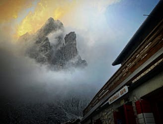
A moderately hard day with some tiresome ascents and steep descents!
Extreme Hiking
- Distance
- 12 km
- Ascent
- 940 m
- Descent
- 1.2 km
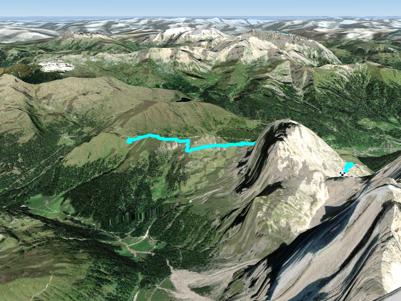
A shorter day on the AV2 but options to explore!
Hiking Severe

Starting Location: Rifugio Passo Valles Ending Location: Rifugio Mulaz Optional Routes: (A) Via Ferrata del Canalino, (B) Sasso Arduini (2,582m) summit Regional Map: Tabacco Map 022 Path Numbers: 751 Places to eat/drink on route: None, due to a shorter day it is possible to get to Rifugio Mulaz before lunch
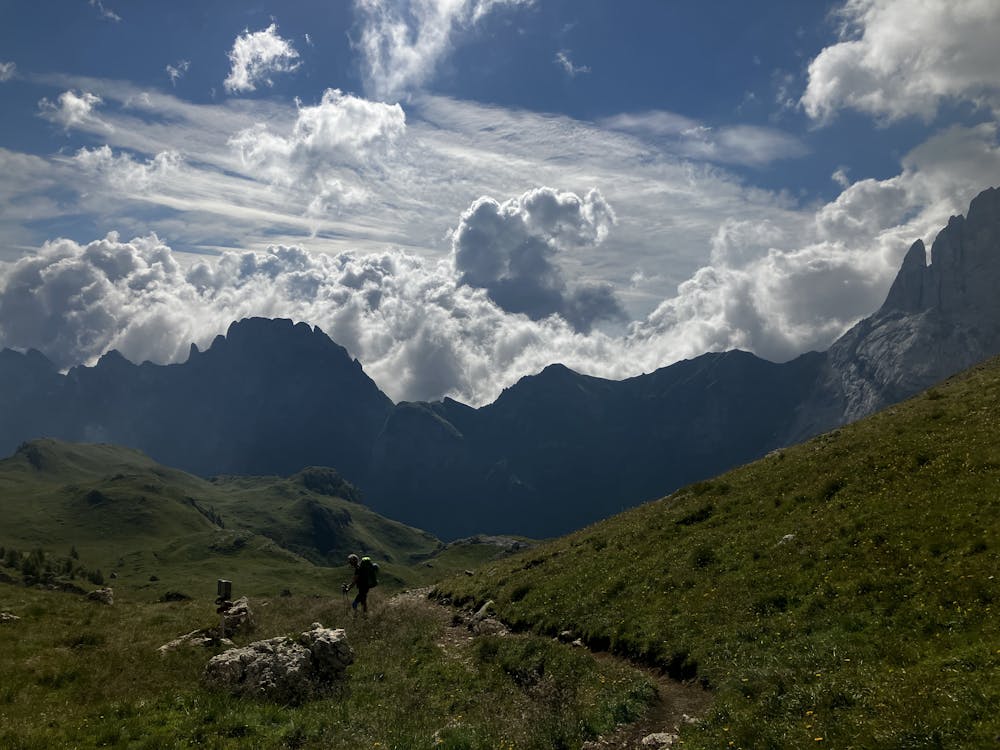
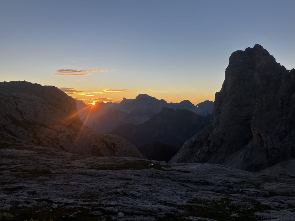
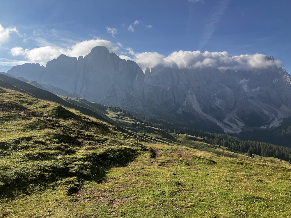
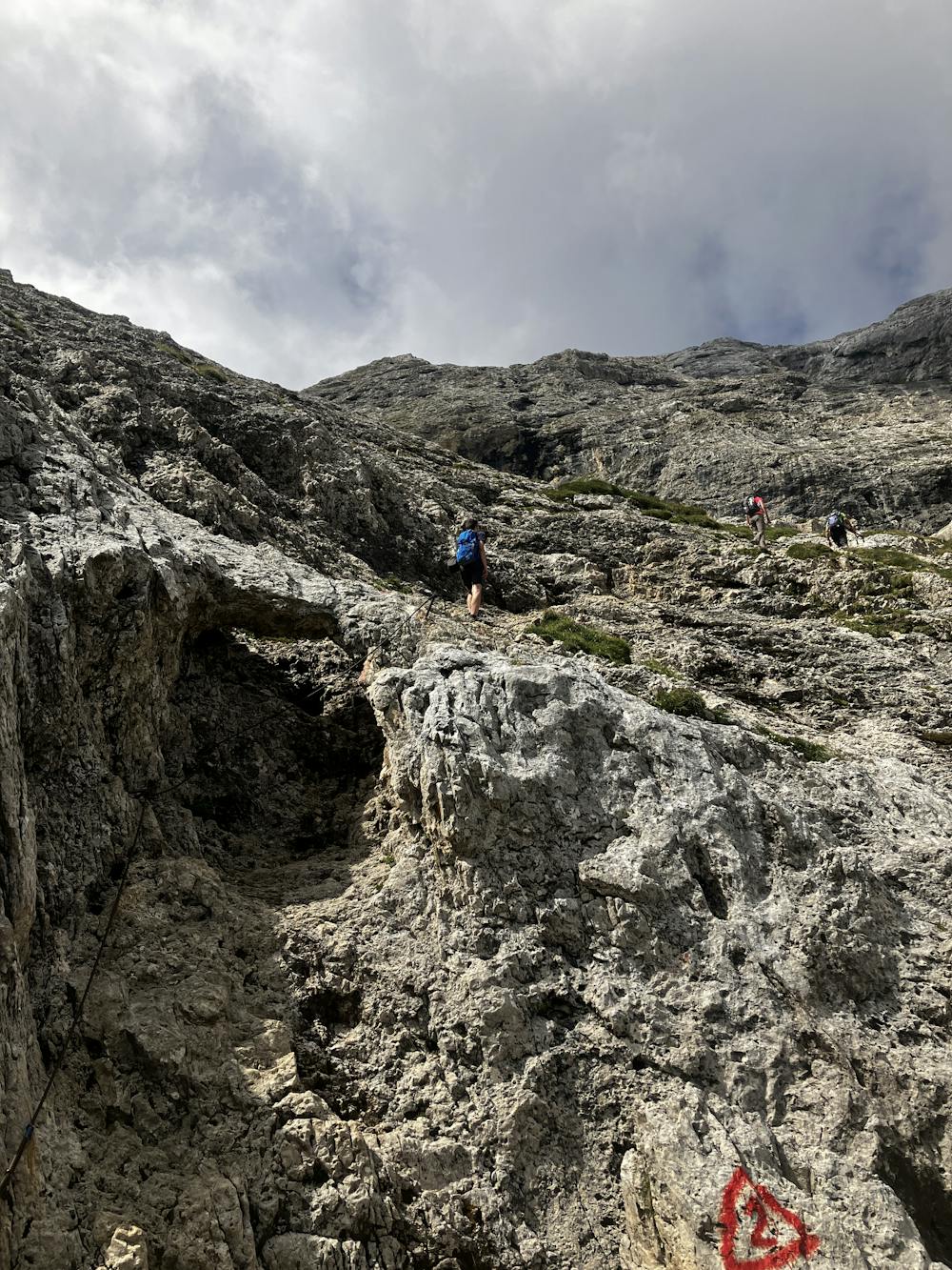
If you’ve been following this guide from the start of the AV2, you might just be looking forward to a shorter day out on the trail to allow the body some much needed rest. Well, here it is.
Optional Route (A) – For those who are addicted to via ferrata or are not feeling the affect of sore legs, check out via ferrata Del Canalino that encircles and top’s out on the Mulaz (2,906m) summit. Follow the link below:
https://www.ferrate365.it/en/vie-ferrate/ferrata-canalone-mulaz/
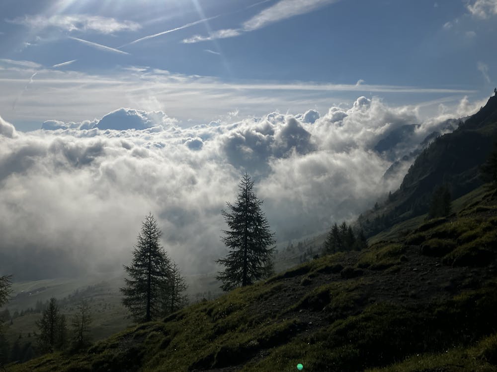
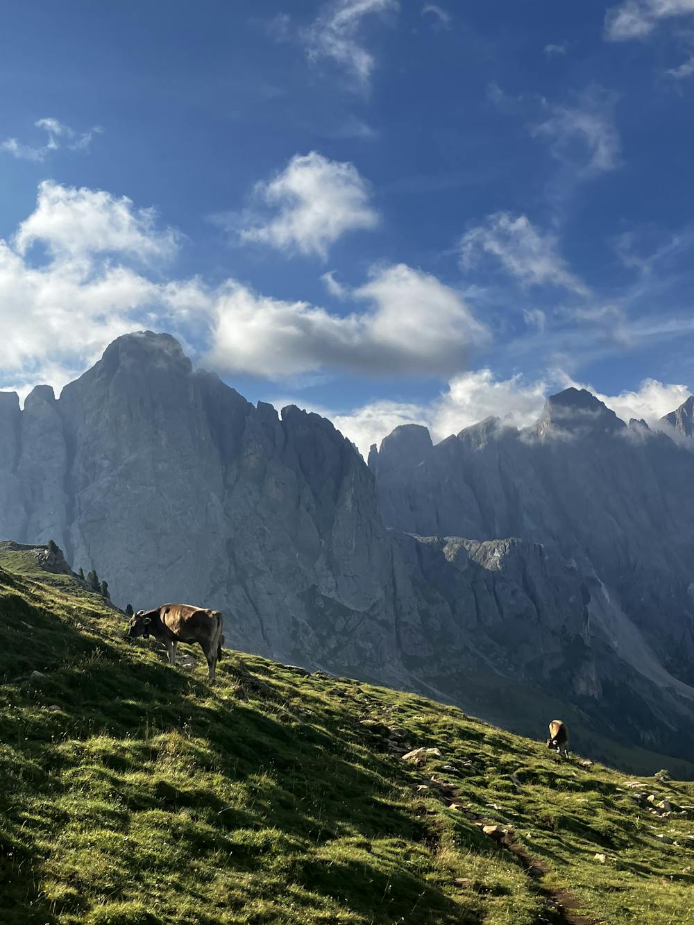
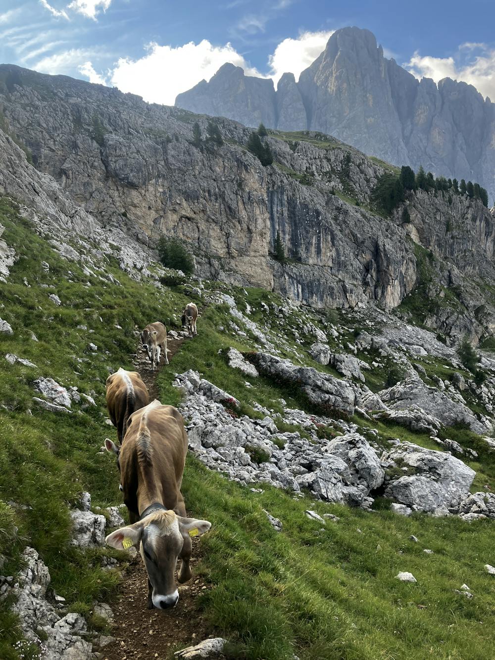
Leave Passo Valles on path 751. For those going straight to Mulaz, this is the only path number you will need all day. Climb up the valley to reach the col of Forcella Venegia and admire the fantastic views behind you. Say hi to the beautiful alpine cattle that are everywhere.
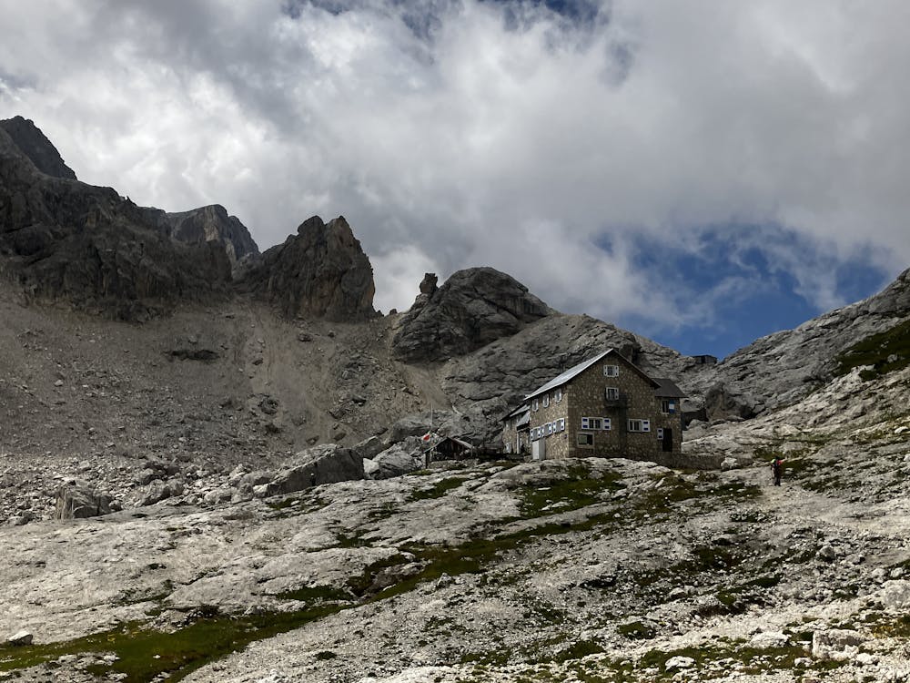
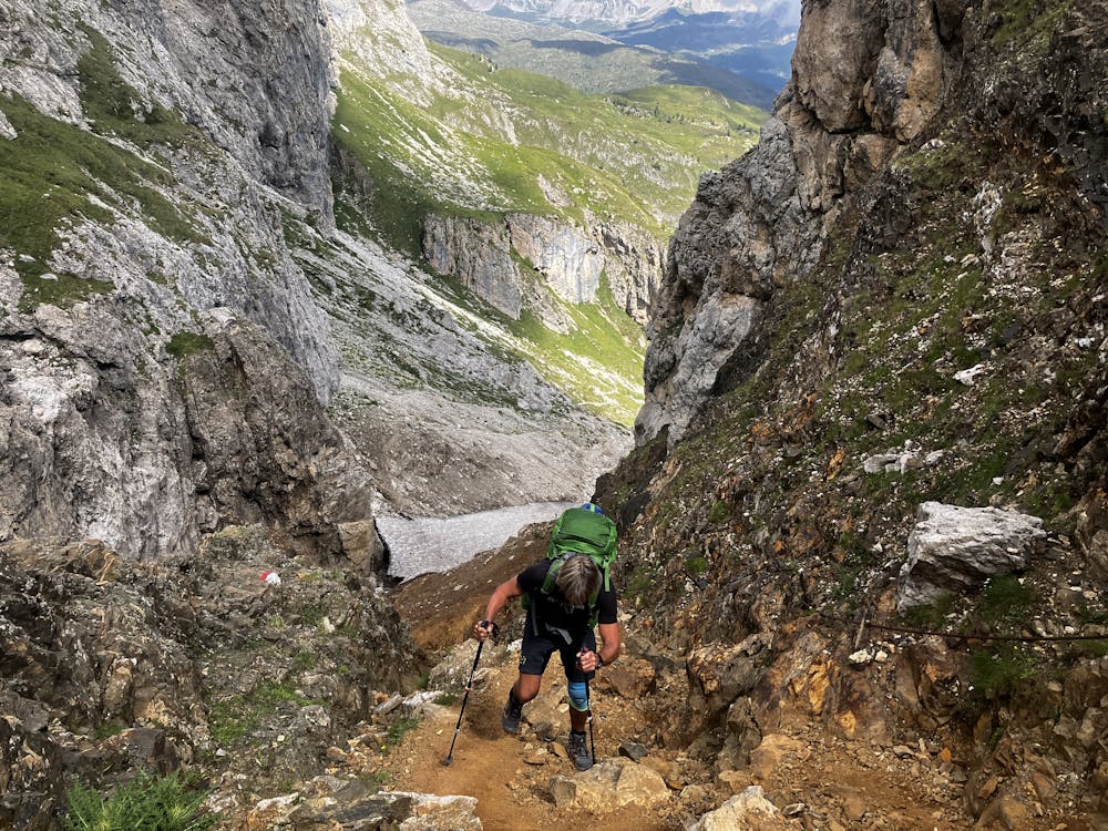
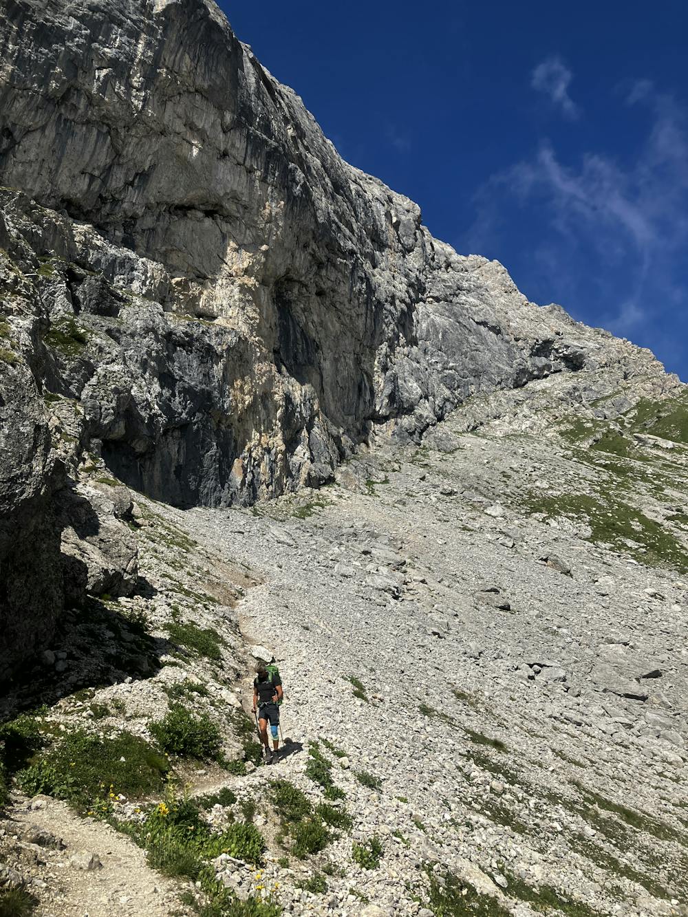
Follow the path around Cima della Venegiota (2,401m) (as the GPX file does) or climb the ridge to its summit. Either way, they both end up meeting eventually to cross some cable-aided sections before snaking right under some terrific Dolomiti terrain. Here is a great place to just stop and admire the views over towards Cimon della Stia (2,391m). Follow the path to a steeper section which encompasses more cable-aided terrain and eventually reaches Rifugio Mulaz.
Optional Route (B) – A short climb to the summit of Sasso Arduini (2,582m) can provide that little something extra if you’re looking for more in your day. An option would be to reach Rifugio Mulaz, drop off any equipment you don’t need a retrace your steps back down to the start of the climb for a more enjoyable experience.
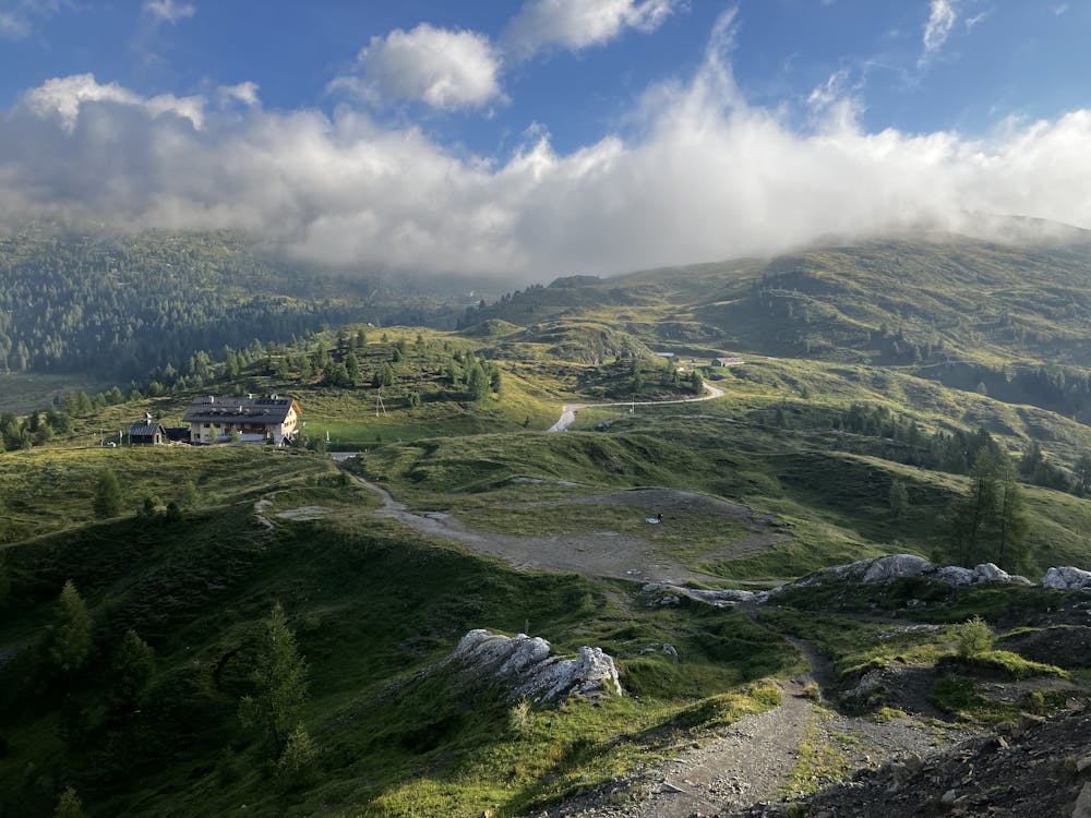
Rifugio Mulaz https://www.caiveneto.it/rifugio/volpi-al-mulaz
This hike and guide were completed during summer weather conditions. This is just one opinion of this route. Make sure to do your own research by consulting internet resources, guidebooks or mountain guides to evaluate other opinions so you can be best prepared for the terrain.
A Guide by Red
Severe
Hiking challenging trails where simple scrambling, with the occasional use of the hands, is a distinct possibility. The trails are often filled with all manner of obstacles both small and large, and the hills are very steep. Obstacles and challenges are often unexpected and can be unpredictable.
4.2 km away

A moderately hard day with some tiresome ascents and steep descents!
Extreme Hiking
11 routes · Hiking