140 m away
Alta Via 2 – Rifugio Passo Valles to Rifugio Mulaz
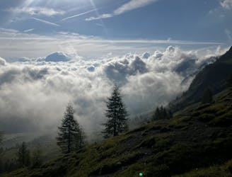
A shorter day on the AV2 but options to explore!
Severe Hiking
- Distance
- 6.5 km
- Ascent
- 748 m
- Descent
- 227 m
Sentiero semplice e adatto a tutti in quota
Also in Trento, Italy
Hiking Moderate

This is a popular hiking route which is generally considered to be moderate. It's remote, it features low exposure and is typically done between June and September. From a low point of 2 km to the maximum altitude of 2.3 km, the route covers 3.5 km, 218 vertical metres of ascent and 7 vertical metres of descent.


Sentiero semplice e adatto a tutti in quota
Moderate
Hiking along trails with some uneven terrain and small hills. Small rocks and roots may be present.

The path is on completely flat land and potential injury is limited to falling over.

Away from help but easily accessed.
140 m away
A shorter day on the AV2 but options to explore!
Severe Hiking
4.2 km away
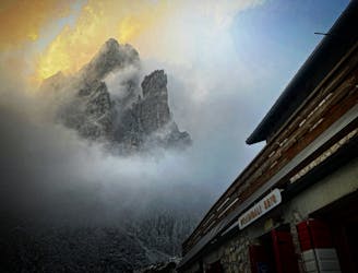
A moderately hard day with some tiresome ascents and steep descents!
Extreme Hiking

11 routes · Hiking