FATMAP by Strava

3 days trekking throughout Puez Odle nature park

Alta Badia

Dolomites

Val Gardena/Alpe di Siusi

Trentino-Alto Adige

A three days hike in the hearth of Val Gardena, in the Dolomites

Hiking Difficult

Distance
30 km
Ascent
1.9 km
Descent
1.9 km
Duration
1 day +
Low Point
1.9 km
High Point
2.7 km
Gradient
28˚
3 days trekking throughout Puez Odle nature park Map

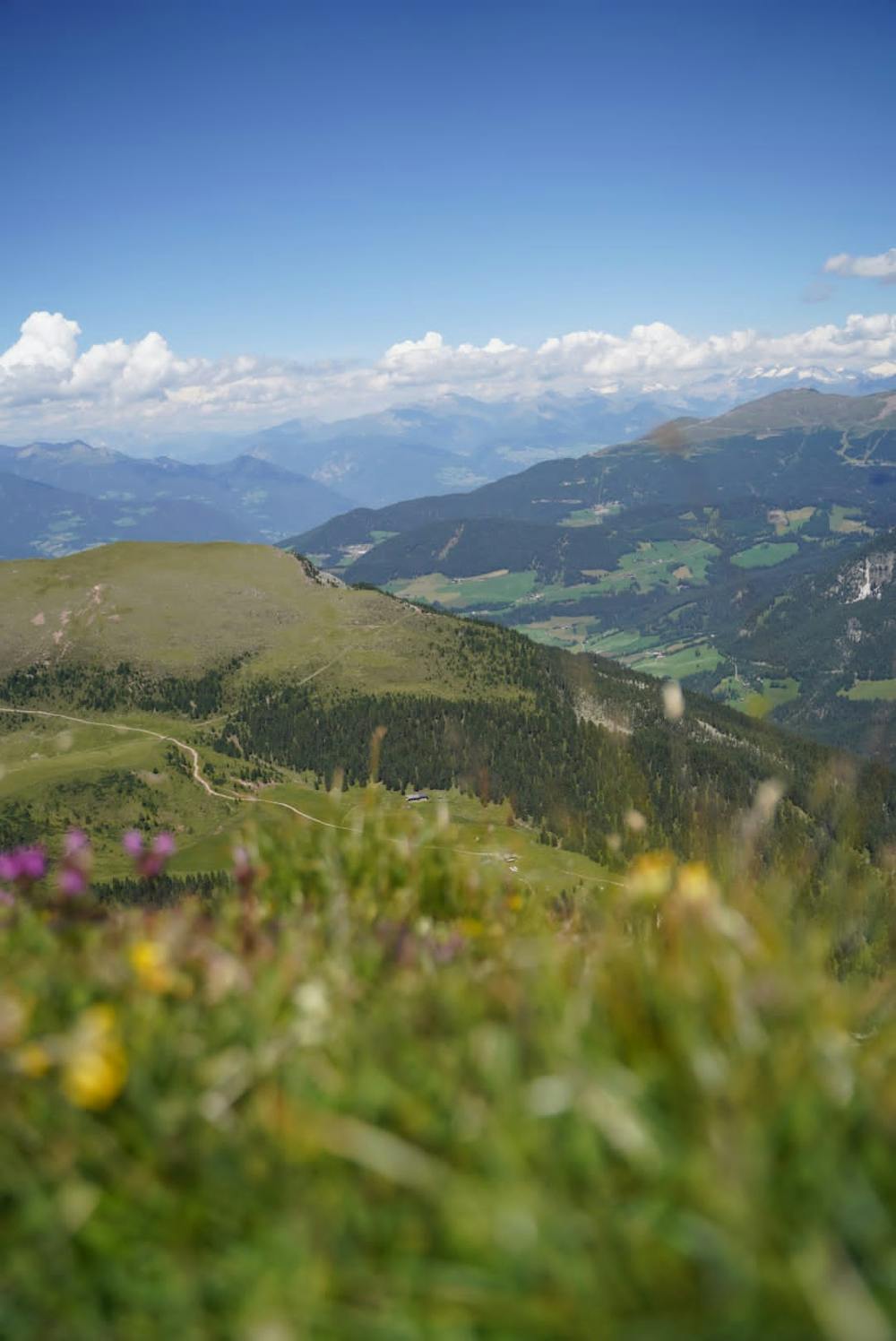
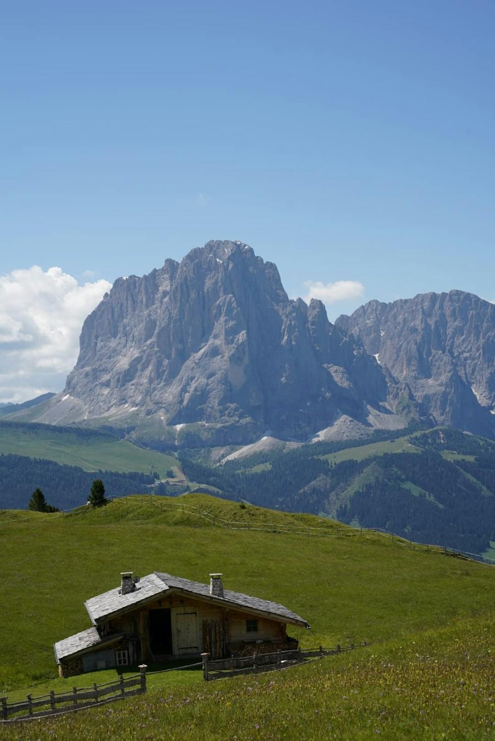
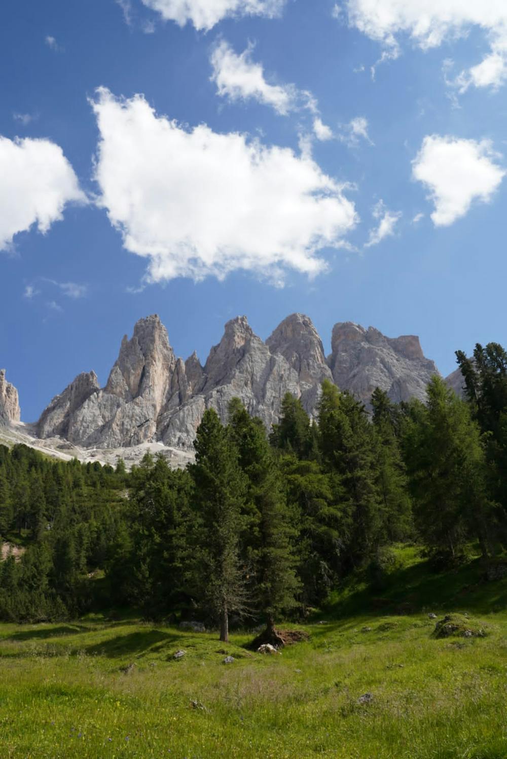
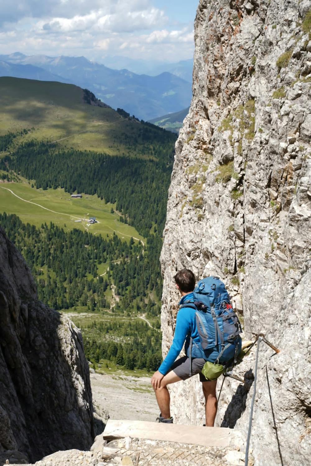
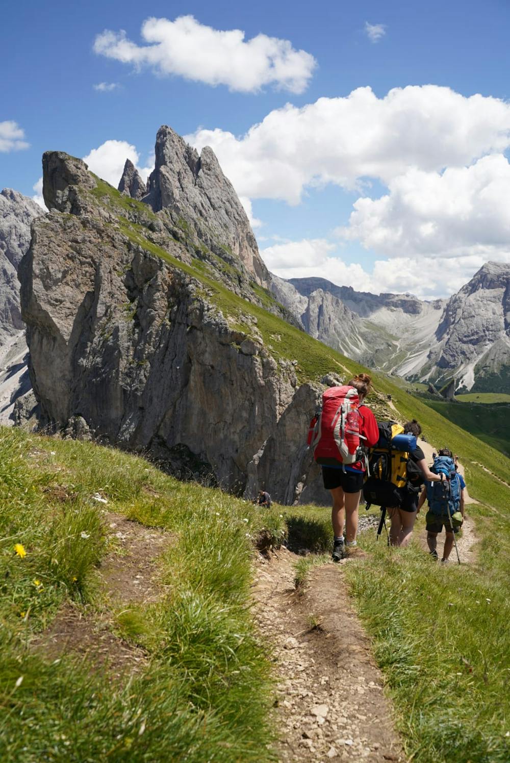
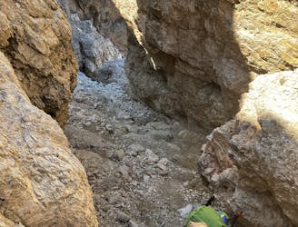
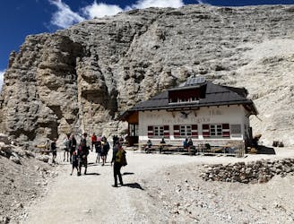
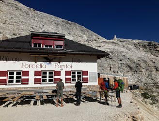
A 3 days hike in the hearth od Dolomites. We parked at the bottom of the Col Raiser cableway, in Val Gardena. We took the cableway, and as we arrived on the top, we hiked to Seceda and Forcella Pana. From Forcella Pana we went down more or less 300 mt in altitude. During the afternoon and the evening we walked along the north ridge of the Odle moutains (direction Rifugio Genova). The second day we started from rifugio Genova, our aim was to go to Rifugio Puez. This was a very long day and we found some unexpected condictions. Be careful because after Forcella della Roa, there's a part of the trail which requires harness and via ferrata kit. It's not a proper via ferrata, but I recommend prudent behavior: there are several exposed passages and this path is not marked on the map. After Rifugio Puez you can reach Lech de Crespeina after 2 hours walking. From Forcella de Crespeina you can easily reach Passo Gardena to take a bus and reach the car

Difficulty

Difficult

Hiking trails where obstacles such as rocks or roots are prevalent. Some obstacles can require care to step over or around. At times, the trail can be worn and eroded. The grade of the trail is generally quite steep, and can often lead to strenuous hiking.

Medium Exposure

2 out of 4

The trail contains some obstacles such as outcroppings and rock which could cause injury.

Remoteness

2 out of 4

Away from help but easily accessed.

Best time to visit

between July and September

Features

  • Alpine
  • Wildlife
  • Summit Hike

Similar routes nearby

Guidebooks in this area