3.9 km away
Alta Via Dolomiti 5
Hike the Dolomites from Sesto Pusteria to Pieve di Cadore along a tough high altitude trail.
Severe Hiking
- Distance
- 81 km
- Ascent
- 6.3 km
- Descent
- 6.7 km
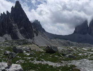
Amazing Viewpoint over Dolomites
Hiking Difficult

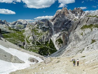
This is a popular hiking route which is generally considered to be difficult. It's remote, it features medium exposure and is typically done between June and October. From a low point of 1.5 km to the maximum altitude of 3 km, the route covers 11 km, 1595 vertical metres of ascent and 130 vertical metres of descent.

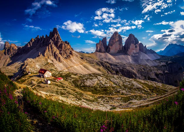
Amazing viewpoint over Tre Cime and Dolomites
Difficult
Hiking trails where obstacles such as rocks or roots are prevalent. Some obstacles can require care to step over or around. At times, the trail can be worn and eroded. The grade of the trail is generally quite steep, and can often lead to strenuous hiking.

The trail contains some obstacles such as outcroppings and rock which could cause injury.
Away from help but easily accessed.
3.9 km away
Hike the Dolomites from Sesto Pusteria to Pieve di Cadore along a tough high altitude trail.
Severe Hiking
5.9 km away

One of the shorter yet more challenging of the 10 Alta Via Dolomiti hiking trails.
Difficult Hiking
8.1 km away
A beautiful loop around the most famous mountains in the Dolomites - The Tre Cime
Moderate Hiking
3 routes · Hiking

10 routes · Hiking
6 routes · Mountain Biking · Hiking