6.6 km away
Hoher Lorenzenberg via Koatnerberg

An easy ridge hike on the border between Italy and Austria with opportunity for a refreshing dip.
Difficult Hiking
- Distance
- 14 km
- Ascent
- 1 km
- Descent
- 1 km
Feuerstein to Almrissalm
Hiking Easy

This is a popular hiking route which is generally considered to be easy. It's remote, it features medium exposure and is typically done between August and September. From a low point of 1.2 km to the maximum altitude of 1.5 km, the route covers 1.7 km, 297 vertical metres of ascent and 14 vertical metres of descent.
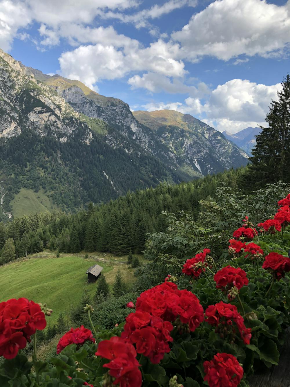
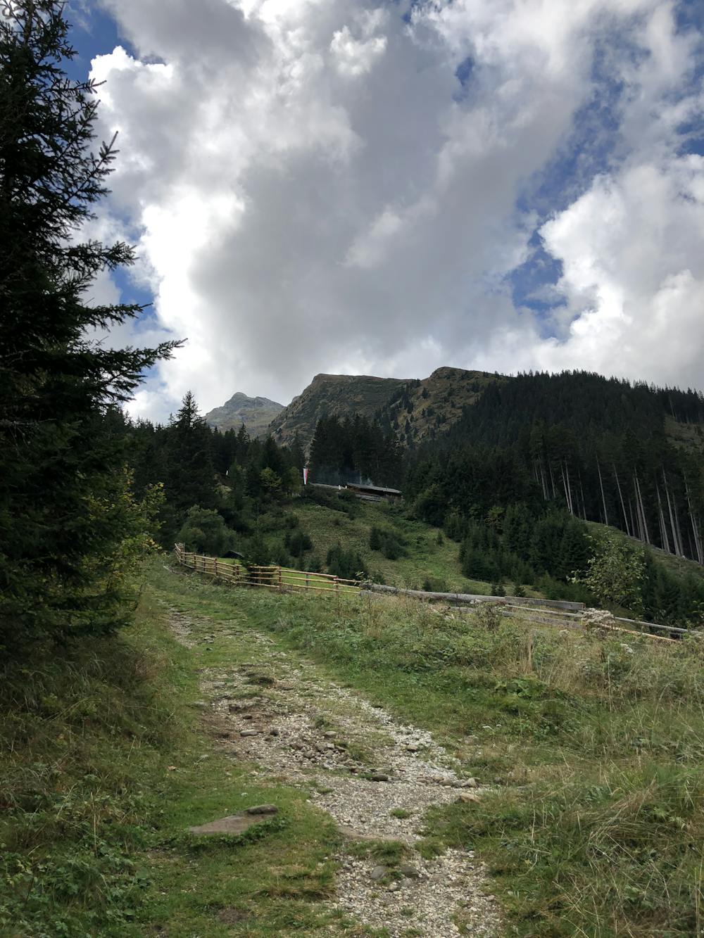
It's a great hike for families with young children. You can choose to walk the road or shortcut through the wood which the route actually shows.
Easy
Walking along a well-kept trail that’s mostly flat. No obstacles are present.

The trail contains some obstacles such as outcroppings and rock which could cause injury.
Away from help but easily accessed.
6.6 km away
An easy ridge hike on the border between Italy and Austria with opportunity for a refreshing dip.
Difficult Hiking
8.5 km away
A long uphill trip which accesses a beautiful hut.
Moderate Hiking
9 routes · Alpine Climbing · Hiking