7.4 km away
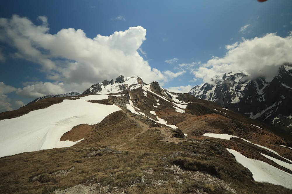
Rotbachlspitze
An incredibly well-positioned peak on the Austro-Italian border.
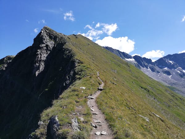
Difficult Hiking
- Distance
- 18 km
- Ascent
- 1.1 km
- Descent
- 1.1 km
Escursione di mezza giornata dalle pendici al monte (Half day journey from bottom to summit of mount)
Also in Tirol, Austria
Hiking Severe

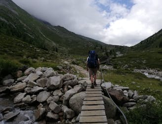
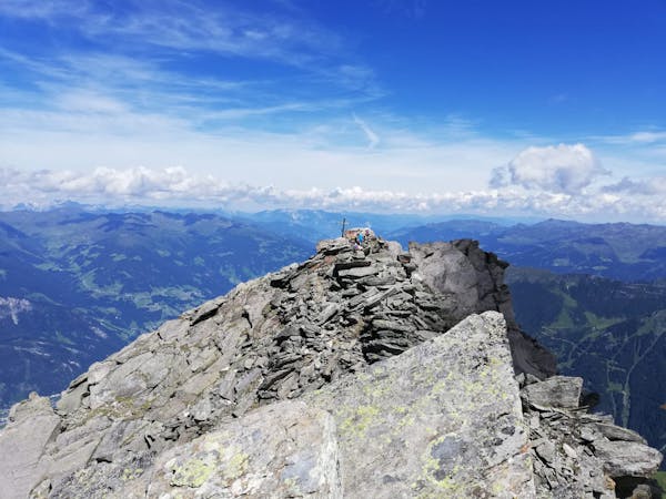
Escursione di mezza giornata piuttosto impegnativa come dislivello. Si lascia l'auto nel paesino alle pendici del monte, si consiglia un po' prima per non essere d'intralcio. Si intraprende la prima parte di salita salendo dal bosco subito successivo al villaggetto fino a tornare allo scoperto (2H), si procede lungo i prati fino a raggiungere il rifugio Pfitscher Joch (0.5H). Qui si intraprende la seconda parte della salita, più impegnativa come pendenza e terreno accidentato, per raggiungere la croda rossa (2H). Infine si punta alla vetta con la salita finora più impegnativa come pendenza (0.45H); si consiglia di prestare davvero molta attenzione in questo tratto per via della molta pendenza e per la possibile presenza di neve, che potrebbe costringere a concludere in questo punto l'escursione, si consiglia di tenersi con le mani continuamente al gruppo di rocce sulla destra durante l'ascesa.
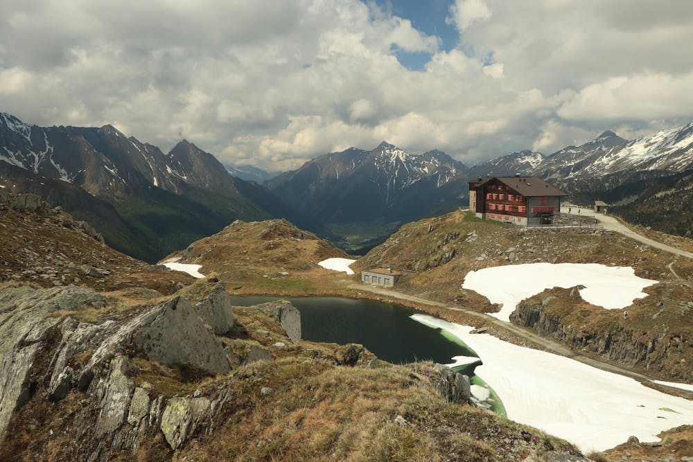
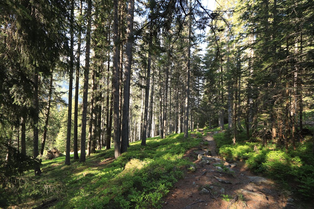
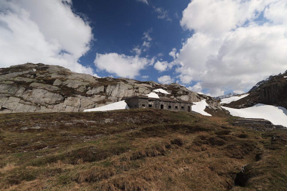
(Challenging half-day excursion in terms of height difference. Leave the car in the village at the bottom of the mountain, it's good choice to park a little earlier to be out of the privates. The first part of the route is undertaken just after the small village, going up in the wood until reaching the open area (2H), proceed along the meadows until the Pfitscher Joch's refuge (0.5H). Here takes place the second part of the route, more demanding in terms of slope and rough terrain, to reach the red croda (2H). Eventually there's the last ascent to the summit, the most difficult in term of slope (0.45H); it is advisable to pay very close attention in this section due to the severe slope and the possible presence of snow, which could lead to stop the excursion, it is advisable to hold hands continuously on the rocks at right during the ascent.)
Severe
Hiking challenging trails where simple scrambling, with the occasional use of the hands, is a distinct possibility. The trails are often filled with all manner of obstacles both small and large, and the hills are very steep. Obstacles and challenges are often unexpected and can be unpredictable.

Some trail sections have exposed ledges or steep ascents/descents where falling could cause serious injury.

Away from help but easily accessed.
7.4 km away
An incredibly well-positioned peak on the Austro-Italian border.
Difficult Hiking
7.6 km away

An impressive hike to one of the most famous 3000 m summits of the Zillertal Alps
Severe Hiking
6 routes · Hiking
8 routes · Mountain Biking · Hiking · Road Biking

25 routes · Hiking