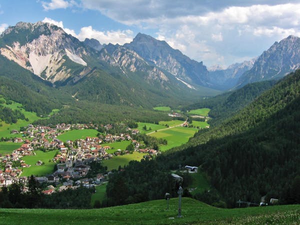
2.9 km away
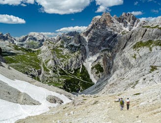
Tre Cime Circuit
A beautiful loop around the most famous mountains in the Dolomites - The Tre Cime
Moderate Hiking
- Distance
- 9.7 km
- Ascent
- 439 m
- Descent
- 439 m
This route, destinated to be an educational essay, is an example of how a group of visitors would experience the mountains of Lavaredo through a hike enriched by narrations that link the physical landscape with its ecology, geology, historical and cultural aspects.
Hiking Moderate

Route data:
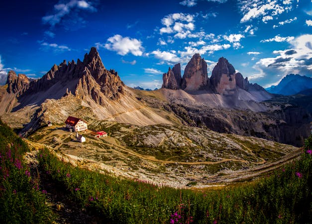
• Start and End point: Sepp Innerkofler - A. Locatelli Hut Total route distance: 14.43 Kms • Ascending level: 790 mts • Descending level: -790 mts • Max. altitude: 2,562 mts • Min. altitude: 2,169 mts • Technical level: moderate • Route type: circular • Hours: 08:00 - 16:00 • Indicative stops: Points of Interest are marked as Waypoints
Start point: S. Innerkofler - A. Locatelli Hut 1st stop: Langalm Hut 2nd stop: Lavaredo Hut 3rd stop: Monumento dei Caduti 4th stop: Collado de Pian di Cengia Final stop: Refugio S. Innerkofler - A. Locatelli Hut
Moderate
Hiking along trails with some uneven terrain and small hills. Small rocks and roots may be present.

The trail contains some obstacles such as outcroppings and rock which could cause injury.
Away from help but easily accessed.
2.9 km away
A beautiful loop around the most famous mountains in the Dolomites - The Tre Cime
Moderate Hiking
7.8 km away
Hike the Dolomites from Sesto Pusteria to Pieve di Cadore along a tough high altitude trail.
Severe Hiking
3 routes · Hiking

10 routes · Hiking
6 routes · Mountain Biking · Hiking