4.5 km away
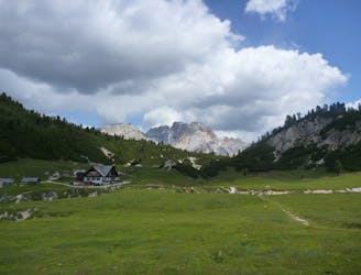
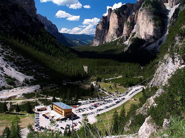
Rifugio Pederú
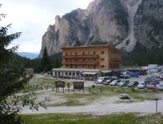
A classic cruise up to an amazing mountain hut
Easy Mountain Biking
- Distance
- 24 km
- Ascent
- 351 m
- Descent
- 352 m
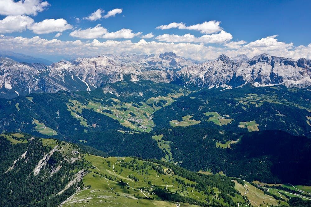
A big day out involving amazing scenery and fabulous riding.
Mountain Biking Difficult

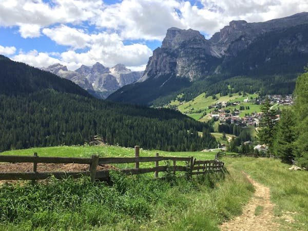
This is a brilliant - albeit challenging - ride through some typically wonderful Dolomitic scenery which will give you a fascinating insight into Ladin culture. The ride starts and finishes in La Valle, just to the south of San Martino in Badia.
From La Valle go down the main road to the tiny hamlet of Plans then get onto a jeep track that begins next to a football pitch. Follow the trail to Rumestluns then keep going towards Spëscia and follow signs from there to Armentara. There are a series of gravel roads which lead uphill all the way to the Armentara - the name given to a series of beautifully kept grassy fields.
From Armentara follow more gravel tracks to the Church of Santa Croce. The last few hundred metres to the Church are on large, flat stones and are a bit more technical than the trails you'll have ridden up to this point.
There are trails everywhere around the Church but take the trail down to San Casciano. The first section is technical singletrack but this soon gives way to compact, steep forest trails. There aren't many obstacles though so you can go fast and get the adrenaline pumping on the steepness!
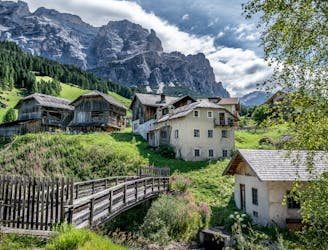
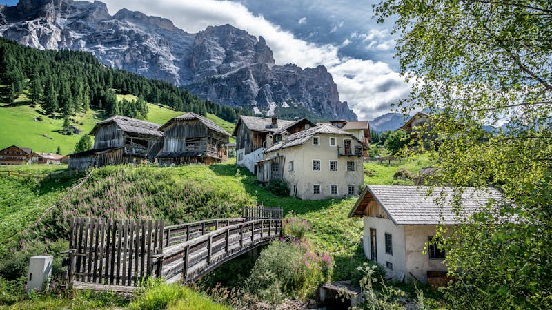
Once in the centre of San Casciano, follow the road to Costadedoi then hang a right and go up the tiny village of Rudiferia then descend back to the main road. Follow it and then turn right at Sotcianins and climb steeply to Costalta. Take a singletrack trail on the left to San Leonardo/Linert. Cross through the village and head uphill to a junction where you turn left towards Ciastel and climb up to Valgiarëi, which must be one of the most perfect and well positioned villages in Europe. This tiny hamlet is worth the ride by itself.
The road finishes in Valgiarëi. From there, take a stoney track which becomes a single track (with roots and stones) and climbs to Arciara. From Arciara, follow a steep, narrow tarmac road (be careful of cars) back to La Valle.
Difficult
Mostly stable trail tread with some variability featuring larger and more unavoidable obstacles that may include, but not be limited to: bigger stones, roots, steps, and narrow curves. Compared to lower intermediate, technical difficulty is more advanced and grades of slopes are steeper. Ideal for upper intermediate riders.

The trail contains some obstacles such as outcroppings and rock which could cause injury.
Away from help but easily accessed.
4.5 km away
A classic cruise up to an amazing mountain hut
Easy Mountain Biking
4.5 km away
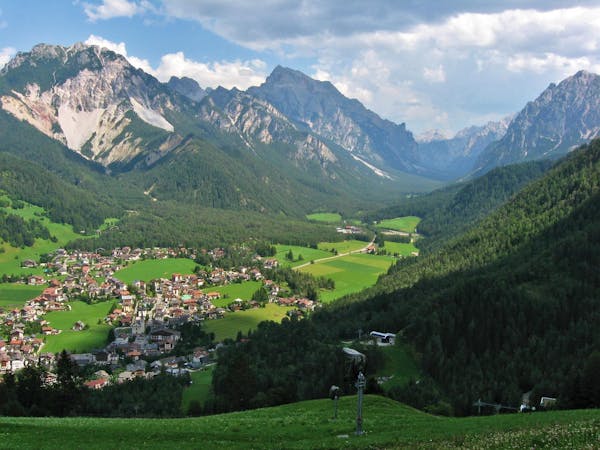
An incredibly peaceful trip across a stunning hillside.
Easy Mountain Biking
5.7 km away
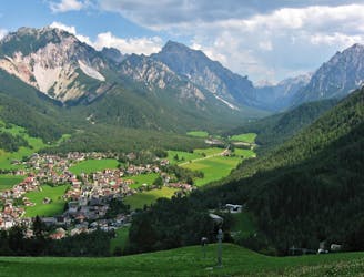
Fun singletrack riding through stunning Ladin valleys.
Moderate Mountain Biking
8.2 km away
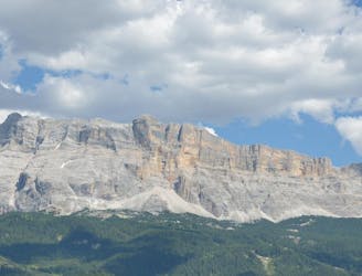
A beast of a ride through some of the best scenery in the Alps!
Difficult Mountain Biking
9.7 km away
A scenic cruise through a famous Ladin valley.
Moderate Mountain Biking
3 routes · Mountain Biking
4 routes · Mountain Biking
3 routes · Mountain Biking

5 routes · Mountain Biking
6 routes · Mountain Biking · Hiking