7.8 km away
Otztal Ski Tour: Hinter Schwarzenjoch from the Martin Busch Hut
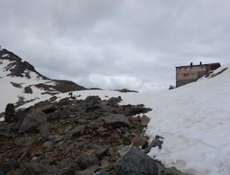
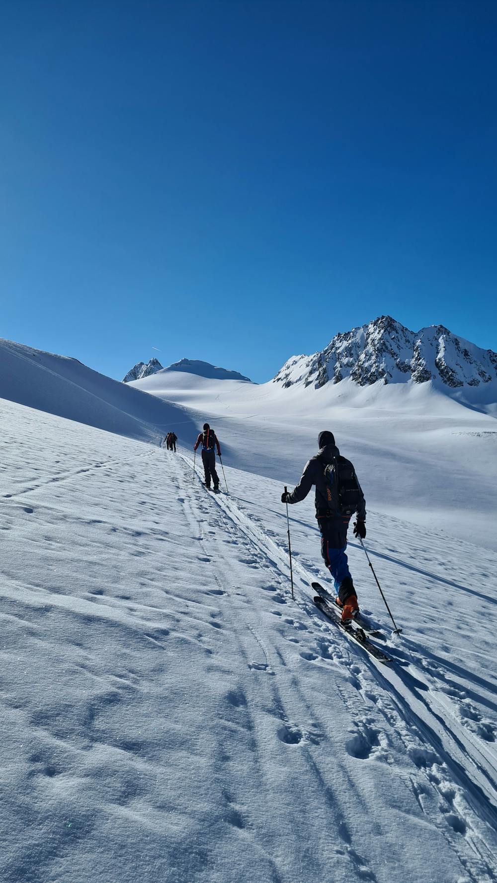
Day 2: Day Tour up the Hinter Schwarzenjoch from the Martin Busch Hut.
Difficult Ski Touring
- Distance
- 13 km
- Ascent
- 1.3 km
- Descent
- 1.3 km
Not too much skiing, more climbing for this one.
Also in Tirol, Austria
Ski Touring Difficult

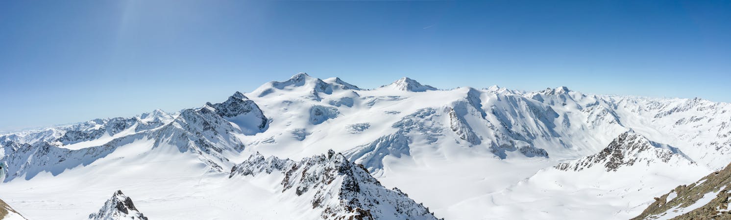
The Hochwilde mountain is composed of two main summits, The Hochwilde north and the Hochwilde south (also named Cima Altissima). The south summit is the highest point of both, so thats where we are going !
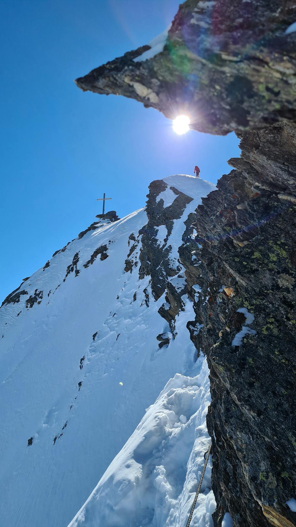
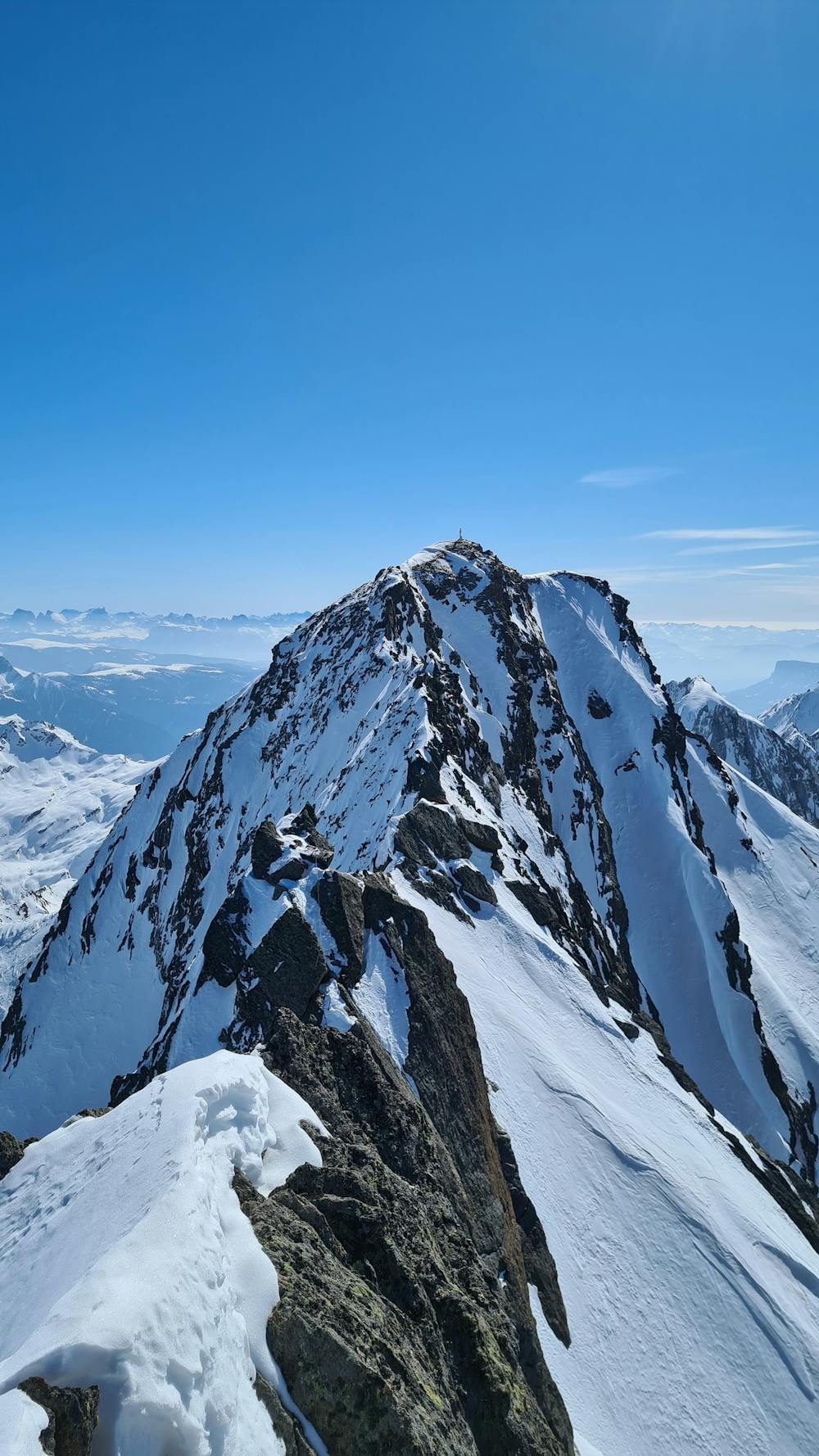
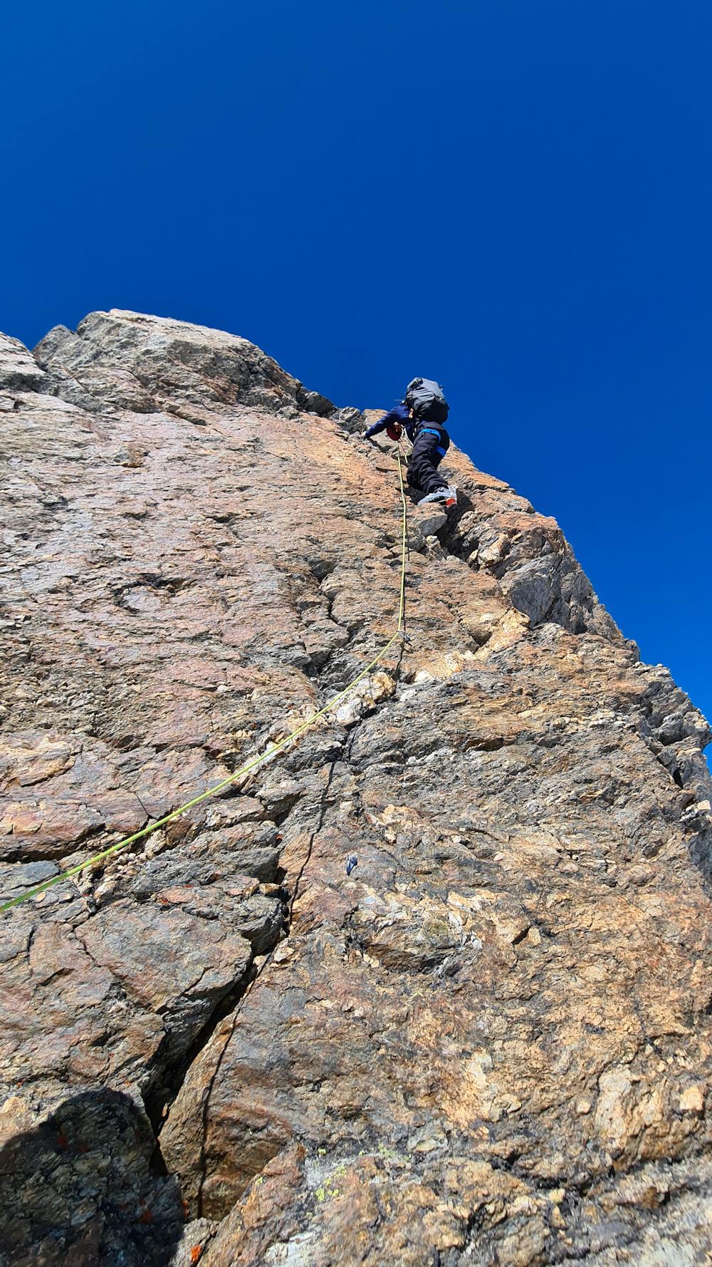
To reach the north summit it is pretty easy, the climb is short and beautiful, this is where peoples stop normally in winter. For the south summit there is a long ridge to climb. It is not too difficult as there is a cable all the way, but sometimes in winter the cable can be snow covered. The climb is exposed sometimes and requires a good technic with crampons. Do not underestimate this, as you also have to go back to the north summit then.
Difficult
Serious gradient of 30-38 degrees where a real risk of slipping exists.

As well as the slope itself, there are some obstacles (such as rock outcrops) which could aggravate injury.
Away from help but easily accessed.
7.8 km away
Day 2: Day Tour up the Hinter Schwarzenjoch from the Martin Busch Hut.
Difficult Ski Touring
7.8 km away
Day 3: Similaun summit and Otzis memorial visit, before descent to the Hochjoch Hospice
Difficult Ski Touring
8.3 km away
Day 1: A positioning day to the Martin Busch Hut
Moderate Ski Touring
6 routes · Ski Touring

17 routes · Ski Touring