62 m away
Col Bechei / Bechei di Sopra
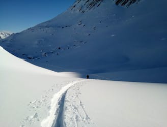
A big and incredibly beautiful trip which can be split in 2 if required.
Moderate Ski Touring
- Distance
- 18 km
- Ascent
- 1.3 km
- Descent
- 1.3 km
Eisengabelspitze - Überschreitung
Ski Touring Difficult

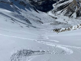
This is a popular ski touring route which is generally considered to be difficult. It's remote, it features medium exposure (e2) and is typically done between January and March. From a low point of 1.5 km to the maximum altitude of 2.5 km, the route covers 9.6 km, 1044 vertical metres of ascent and 1045 vertical metres of descent. You'll need skins to complete it safely.
Tourenbericht und Wegbeschreibung: https://www.suedtirolalpin.com/post/eisengabelspitze-skitour
www.suedtirolalpin.com
Difficult
Serious gradient of 30-38 degrees where a real risk of slipping exists.

As well as the slope itself, there are some obstacles (such as rock outcrops) which could aggravate injury.
Away from help but easily accessed.
62 m away
A big and incredibly beautiful trip which can be split in 2 if required.
Moderate Ski Touring
3.6 km away
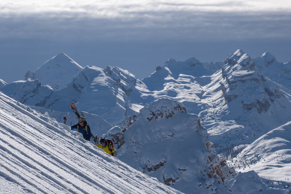
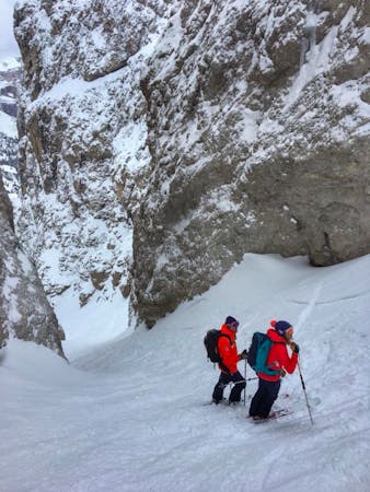
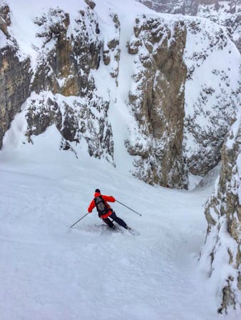
Peaks and Couloirs - A fantastic varied day tour from the Rifugio Fanes
Severe Ski Touring
9.9 km away
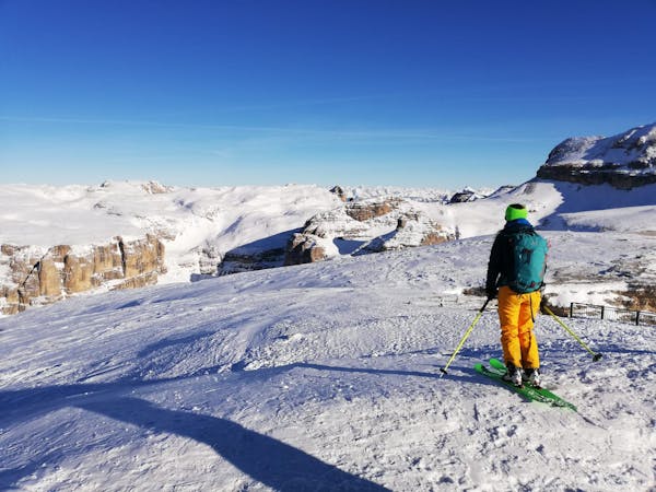
A varied and exciting tour through some wild Dolomitic peaks.
Severe Ski Touring
7 routes · Freeride Skiing · Ski Touring
7 routes · Ski Touring
6 routes · Ski Touring