9.5 km away
Col Toronn
A quickly accessed loop through some huge terrain
Difficult Ski Touring
- Distance
- 9 km
- Ascent
- 542 m
- Descent
- 1.1 km
A classic easy ski tour which has fabulous views
Ski Touring Moderate

Tucked at the end of a valley, this isn't the kind of ski tour you stumble across so its popularity is explained by its quality rather than its ease of access. The skiing is very straightforward if you descend the ascent route, but you can find a bit more of a challenge by following the line drawn here and skiing the south face of the mountain.
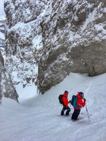
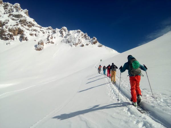
Park up at the Zanser Alm and follow a good, well traveled track east uphill through quiet forests. Stay on the track as it climbs gently through increasingly sparse trees and up into a long, mellow valley north-west of the Zendleser Kofel. Follow this valley and pass under the summit of the mountain. Once you are north-east of the summit, follow the natural line of the valley as it swings around and leads you onto the top. The final section of the summit ridge is slightly exposed so many skiers opt to take their skis off and bootpack onto the top.
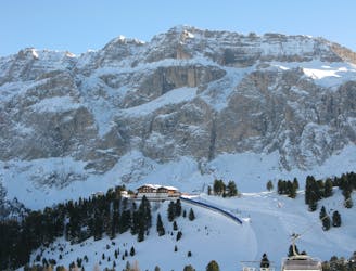
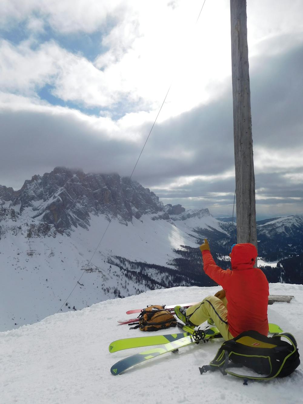
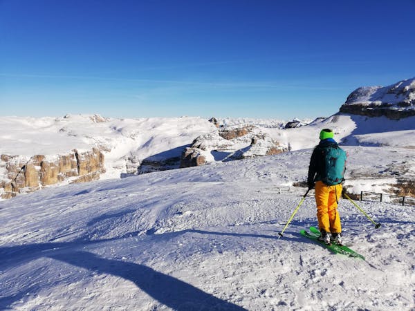
The view from the top is staggering, with the Geisler group to the south-west dominating the panorama. Interestingly enough, the 2 highest mountains in the Geisler range (Saas Rigais and Furchetta) are exactly the same height at 3025m. Take some time to study the terrain and plan future adventures - this is a summit where you could easily pass an hour just looking at the view!
It's perfectly possible to ski down the ascent route but a more exciting option is to drop south off the summit and ski the hanging face below. This narrows to a choke and then opens up again lower down. Once off the face hang a right and traverse through some fun trees to rejoin the track you skinned up. Follow this down to the Zanser Alm and grab a home baked cake!
Moderate
Slopes become slightly steeper at around 25-30 degrees.

As well as the slope itself, there are some obstacles (such as rock outcrops) which could aggravate injury.

Little chance of being seen or helped in case of an accident.
9.5 km away
A quickly accessed loop through some huge terrain
Difficult Ski Touring

50 routes · Freeride Skiing · Ski Touring
7 routes · Freeride Skiing · Ski Touring
3 routes · Ski Touring
6 routes · Ski Touring