4.7 km away
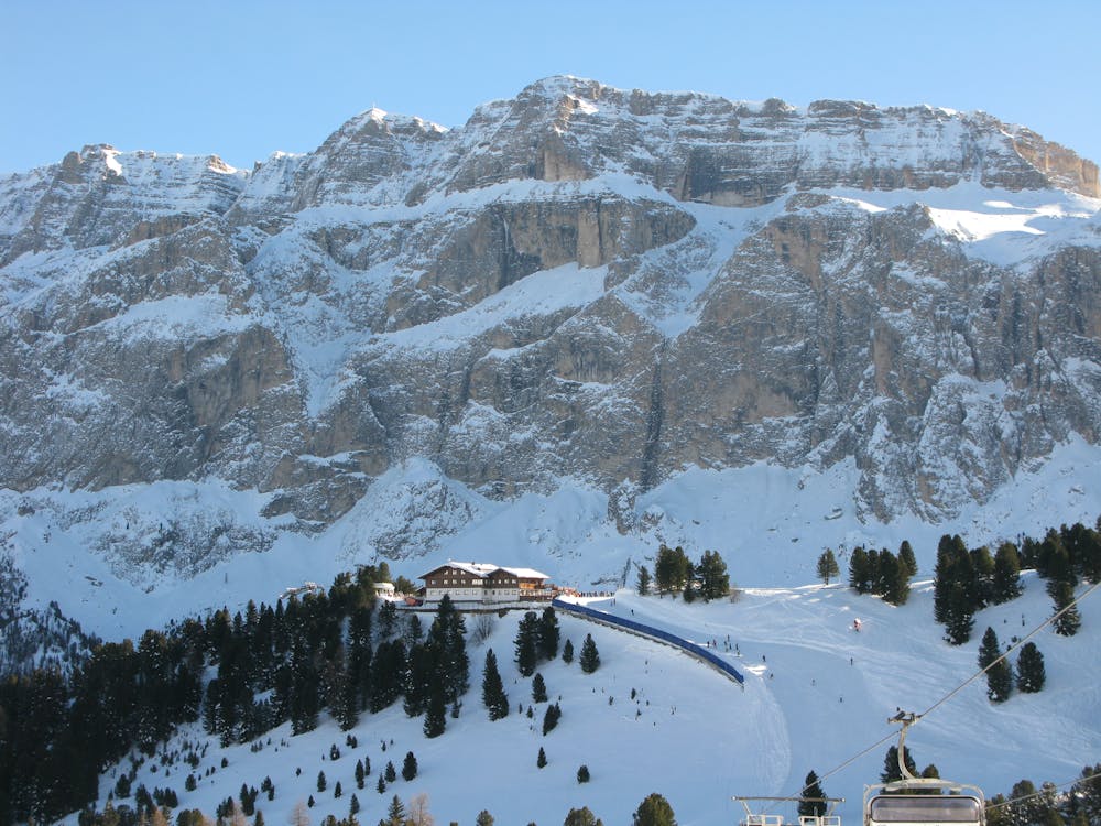
Piz Da Lech
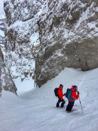
A fine summit and then an abseil-accessed couloir make this a Dolomites classic.
Severe Ski Touring
- Distance
- 4.5 km
- Ascent
- 454 m
- Descent
- 1.3 km
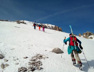
A quickly accessed loop through some huge terrain
Ski Touring Difficult

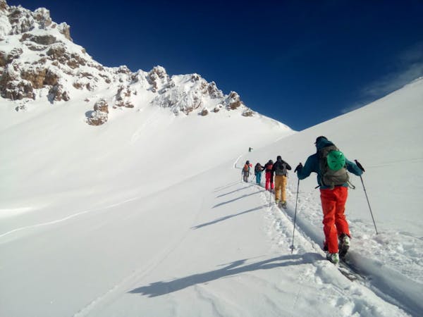
Accessed from the truly enormous Super Ski Dolomiti lift system, this tour feels wild but is remarkably easy to get to. Make your way (from anywhere around the Sella Towers) to the top of the Frara cable car and from there skin north up the broad gully directly above you.
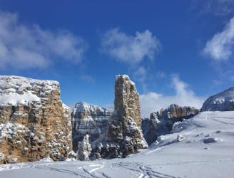
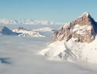
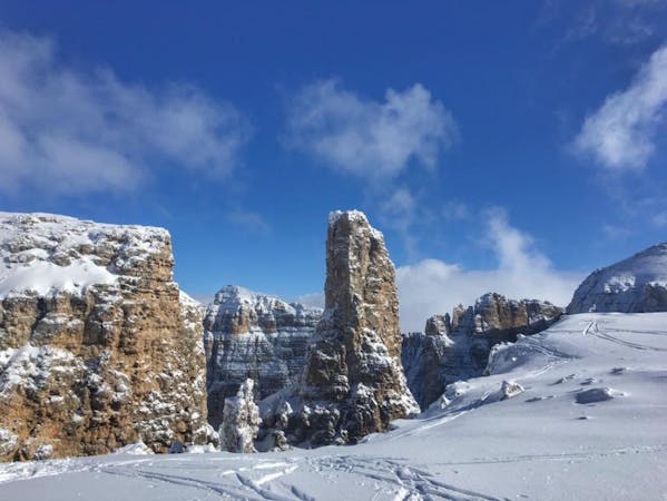
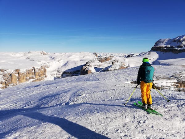
At the top of gully you are at a col overlooking the Kedultal valley. Drop into the valley and immediately begin traversing hard right, losing as little height as possible before putting skins on again and climbing to the Forcola di Crespeina, a spectacular broad col. Turn right from the col and skin up the beautiful narrow ridge which leads onto the summit of the Col Torron. The view from the top is fabulous, with the Sella peaks dominating the scene to the north, and the sharp mountains of the Rigais group doing the same to the south. In the distance are the 5 Torre and the summits that tower above Cortina.
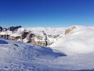
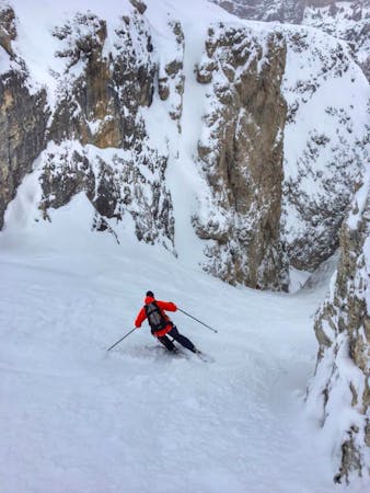
Ski down a beautiful hanging face that lies north-east of the summit and follow it down to a flat plateau. Put skins on for a final time and cross the plateau, pushing left towards the end to reach a hidden gully which accesses the final valley. The gully would be extremely difficult to locate without good visibility and/or FATMAP but it's pretty clear that you're in the right place when you do find it. It faces plum north and is directly opposite the Puez Hut on the opposite side of the valley.
Drop into the gully and ski it into a wider slope which takes you down to the Langental valley. Follow this out to the Val Chairlift in the hamlet of Ciampac. The Langental is almost flat so you have to play with the terrain a bit in order to avoid poling too much.
Difficult
Serious gradient of 30-38 degrees where a real risk of slipping exists.

As well as the slope itself, there are some obstacles (such as rock outcrops) which could aggravate injury.

Little chance of being seen or helped in case of an accident.
4.7 km away
A fine summit and then an abseil-accessed couloir make this a Dolomites classic.
Severe Ski Touring
6.2 km away
A Stunning Journey Across the Sella Massif Followed By An Aesthetic Steep Descent
Severe Ski Touring
6.2 km away
A true Dolomites classic with a short approach and some atmospheric skiing.
Difficult Ski Touring
6.2 km away
An iconic peak followed by a long and varied descent.
Severe Ski Touring
8.4 km away
A scenic cruise which uses lifts to maximum effect.
Easy Ski Touring
9.5 km away
A classic easy ski tour which has fabulous views
Moderate Ski Touring

50 routes · Freeride Skiing · Ski Touring
7 routes · Freeride Skiing · Ski Touring
5 routes · Freeride Skiing · Ski Touring
7 routes · Ski Touring
3 routes · Ski Touring
6 routes · Ski Touring