9.3 km away
Castel Gavone Loop
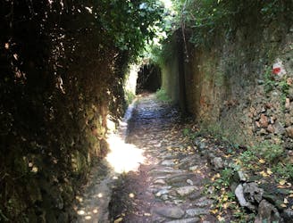
A loop hike passing by two of Finale Ligure's best castles.
Moderate Hiking
- Distance
- 3.1 km
- Ascent
- 170 m
- Descent
- 170 m
Stage 4 of the magnificent high alpine trail through Liguria.
Also in Genova, Italy
Hiking Difficult

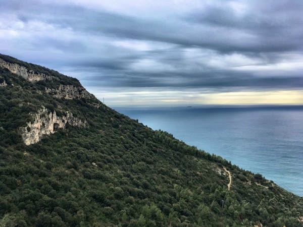
This stage of the hike is characterised by dense forest and diverse wildlife. It is one of the regions of Italy with the highest forest density, which means you’ll have lots of nice long stretches through shady woodland. Near Muegge, you will pass through the Adelasia Nature Reserve, and then, later on, you enter the vast Beigua Park. Along the way, expect to come across everything from huge 19th-century military fortifications, fallow deer, and diurnal raptors. The area has an unpredictable microclimate, but what is guaranteed in this area are the unreal panoramic views across the Liguria Sea, especially as you cross the massif plateaus in Beigua Park. Sources

Difficult
Hiking trails where obstacles such as rocks or roots are prevalent. Some obstacles can require care to step over or around. At times, the trail can be worn and eroded. The grade of the trail is generally quite steep, and can often lead to strenuous hiking.

The trail contains some obstacles such as outcroppings and rock which could cause injury.
Away from help but easily accessed.
9.3 km away
A loop hike passing by two of Finale Ligure's best castles.
Moderate Hiking
3 routes · Hiking
8 routes · Hiking