239 m away
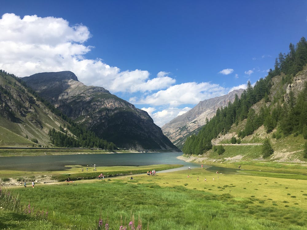
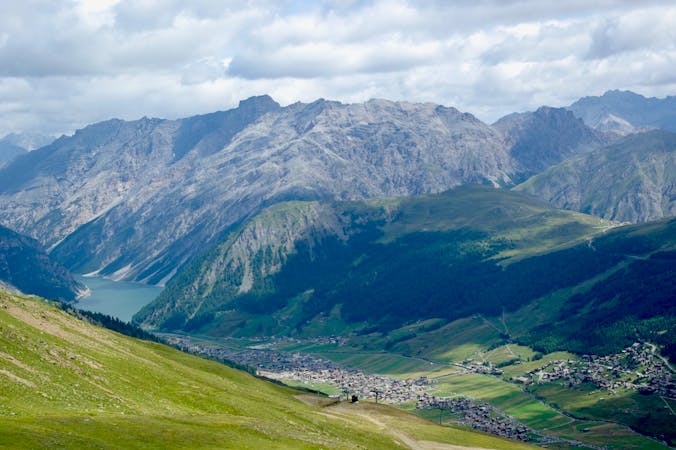
Lake Livigno to Lake Cancano
A hiking odyssey from one gorgeous lake to another.
Difficult Hiking
- Distance
- 33 km
- Ascent
- 1 km
- Descent
- 1 km
A flat and easy hike along the beautiful Livigno Lake.
Hiking Easy

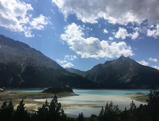
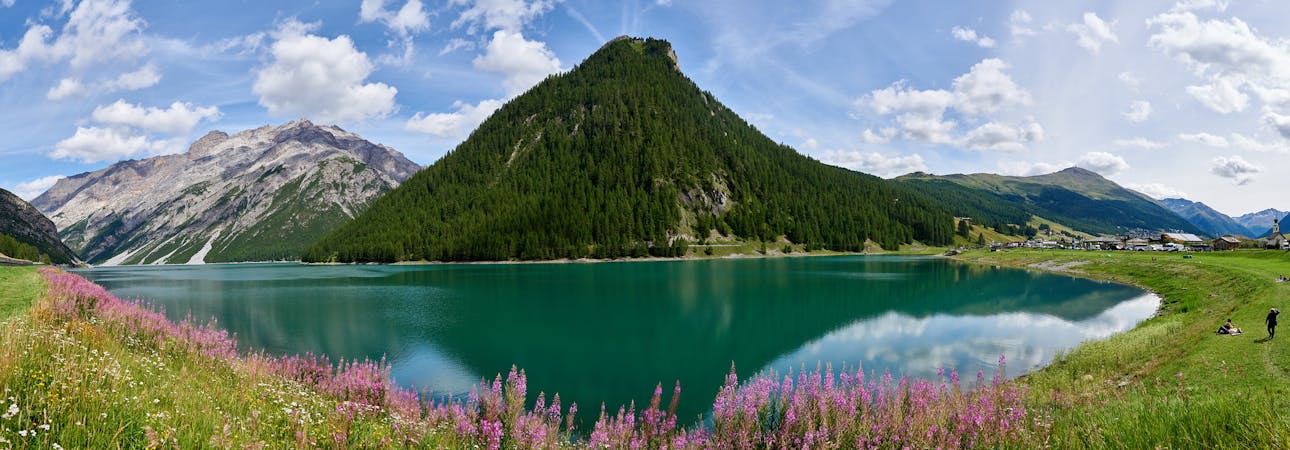
Lago di Livigno is large, beautiful, and almost at the centre of town, making it the perfect setting for an afternoon hike and swim. Beginning at the P4 Latteria car park cross the river and then head north to the lakeshore. Walking in a clockwise direction around the lake you will pass Il Motto (2712m) on your left and then Cima del Fopel (2922m) and Pizzo Murtaruo (2918m). The mountains climb directly out of the lake, creating a mesmerisingly-beautiful site. The footpath continues along to Ristoro Fopel where there is a lovely spot to stop and swim before you return along the way you came.
For an end of route treat head to the best ice cream shop in town: Latteria Livigno. The ice cream shop is conveniently located right next to the car park from which you started. Be warned: being the best, it’s extremely popular so prepare to queue!
Easy
Walking along a well-kept trail that’s mostly flat. No obstacles are present.

The path is on completely flat land and potential injury is limited to falling over.
Close to help in case of emergency.
239 m away
A hiking odyssey from one gorgeous lake to another.
Difficult Hiking
2.9 km away
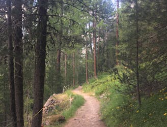
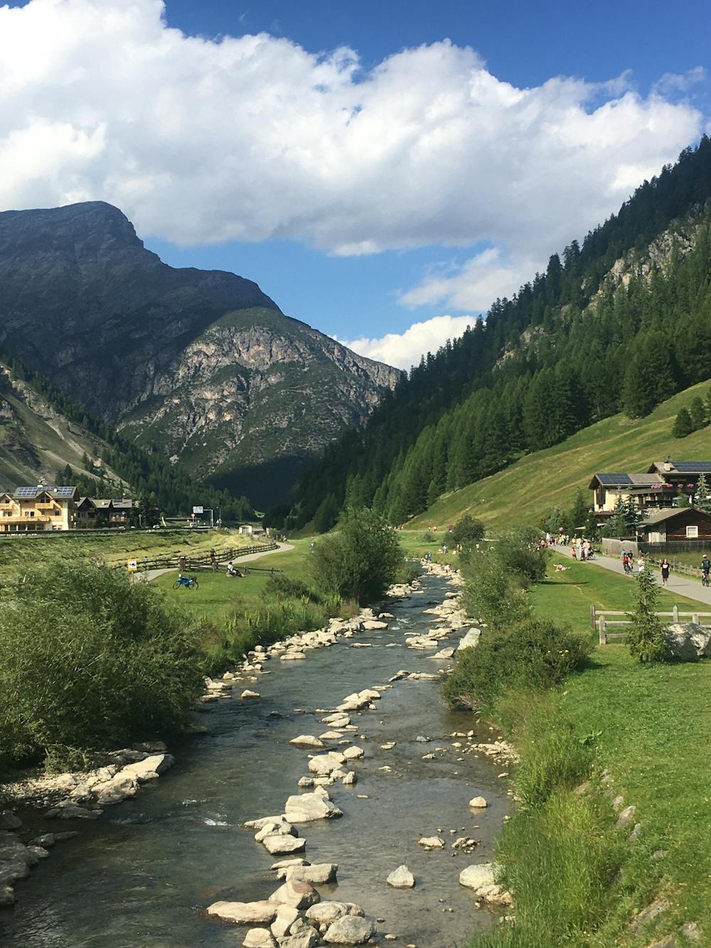
Follow a shaded path through an enchanting larch forest, admiring an exhibition of colourful sculptures along the way.
Easy Hiking
5.8 km away
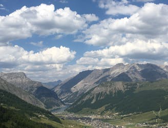
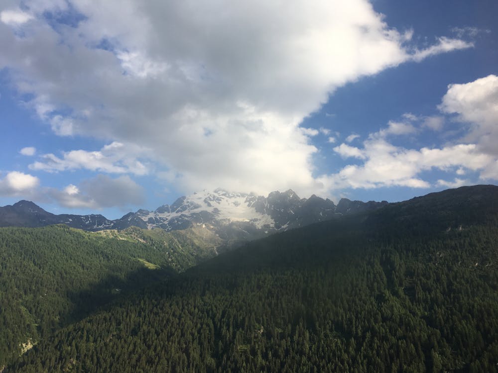
An awesome high alpine hike packed with refuges and panoramic views of the Livigno Valley and beyond.
Moderate Hiking
6.7 km away
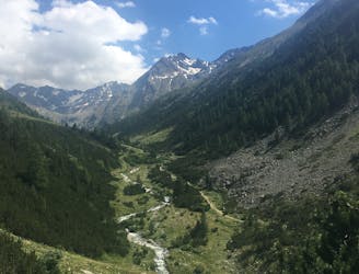
An easy hike up a quiet valley to a charming refuge.
Easy Hiking
5 routes · Hiking
4 routes · Mountain Biking · Hiking