239 m away
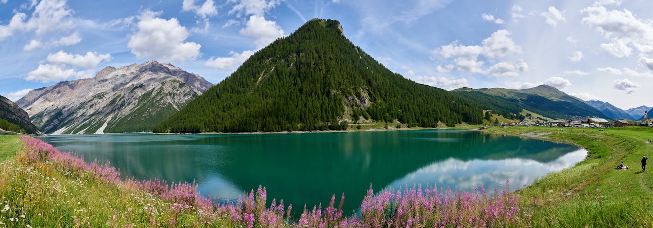
Lago di Livigno Out-And-Back
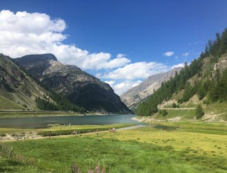
A flat and easy hike along the beautiful Livigno Lake.
Easy Hiking
- Distance
- 21 km
- Ascent
- 192 m
- Descent
- 192 m
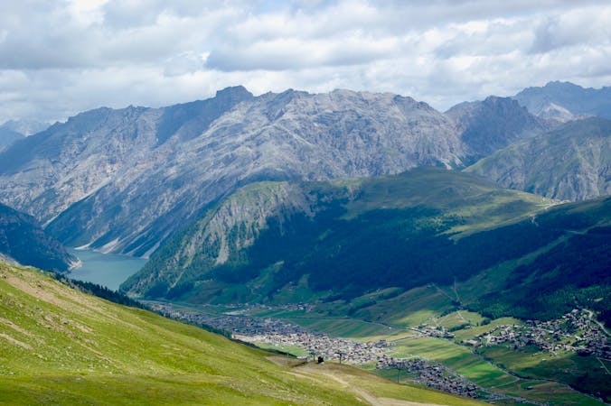
A hiking odyssey from one gorgeous lake to another.
Hiking Difficult

Situated on a 1949m plateau are the tropic blue-coloured waters of Lago di Cancano and Lago di San Giacomo, two reservoir lakes separated by a dam. Right next to the lakes and watching over the valley below are the Towers of Fraele, two military towers dating back to the Romans. But you almost don’t need any facts, because the beauty of this area is absolutely phenomenal and so speaks for itself. A ring of 3000er mountains climb directly out of the bright blue lake waters, and everything surrounding them hangs together in peaceful harmony.
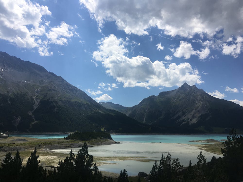
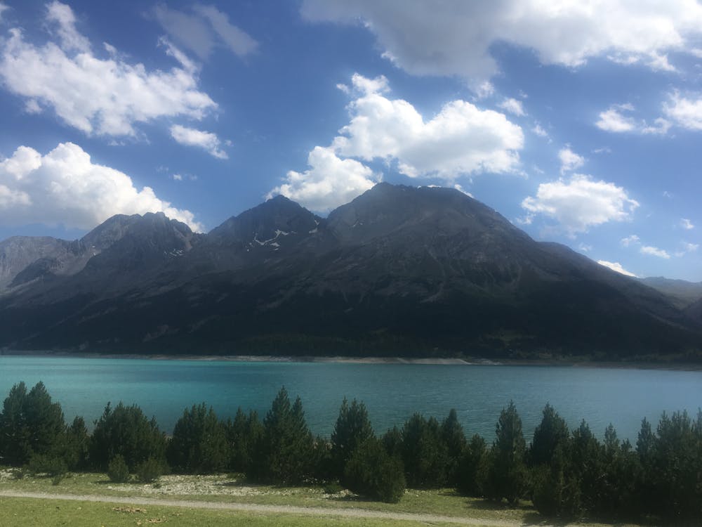
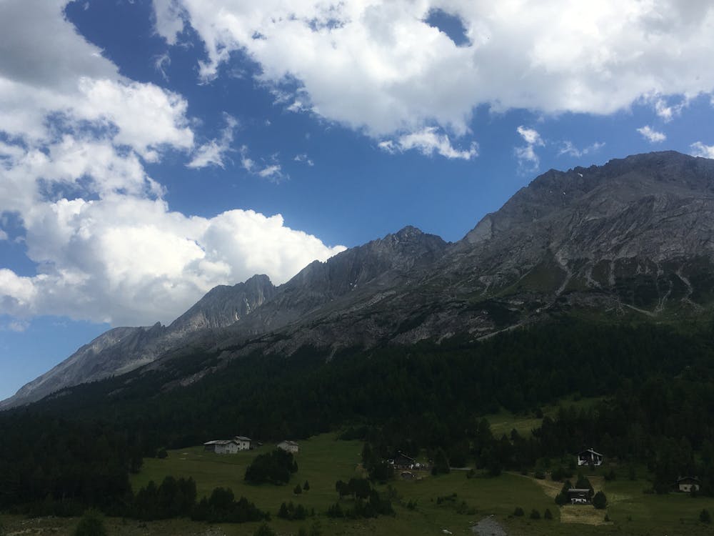
From the carpark P4 next to Livigno Lake follow the 138 trail up through the Valle Alpe Sella. It’s initially a steady climb up the narrow valley. When you reach the pretty high alpine lake Lago Alpisella (2260m) you will know that you are halfway there and are soon to enjoy a descent down to the Cancano Plateau. Once at the lakes, follow the gravel road around Lake Cancano and over the dam, before heading back to Livigno on the trail from which you came.
Difficult
Hiking trails where obstacles such as rocks or roots are prevalent. Some obstacles can require care to step over or around. At times, the trail can be worn and eroded. The grade of the trail is generally quite steep, and can often lead to strenuous hiking.

Some trail sections have exposed ledges or steep ascents/descents where falling could cause serious injury.
Little chance of being seen or helped in case of an accident.
239 m away
A flat and easy hike along the beautiful Livigno Lake.
Easy Hiking
2.7 km away
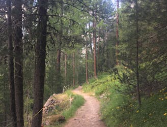
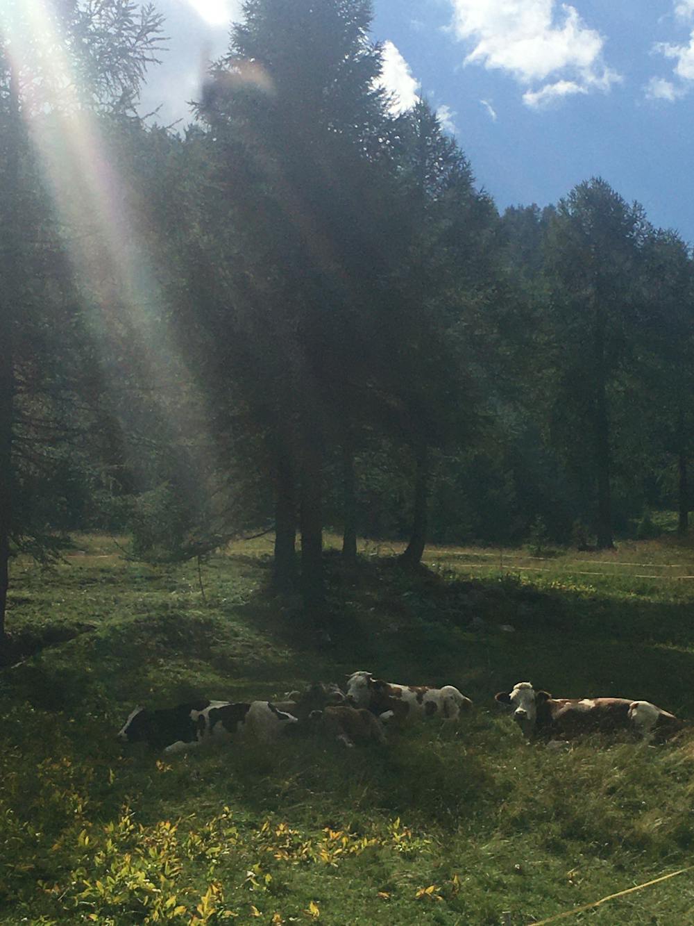
Follow a shaded path through an enchanting larch forest, admiring an exhibition of colourful sculptures along the way.
Easy Hiking
5.6 km away
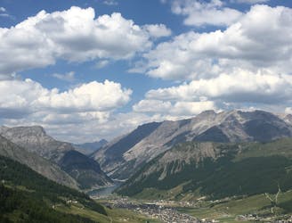
An awesome high alpine hike packed with refuges and panoramic views of the Livigno Valley and beyond.
Moderate Hiking
6.5 km away
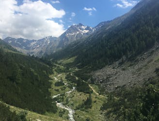
An easy hike up a quiet valley to a charming refuge.
Easy Hiking
5 routes · Hiking
4 routes · Mountain Biking · Hiking