6 m away
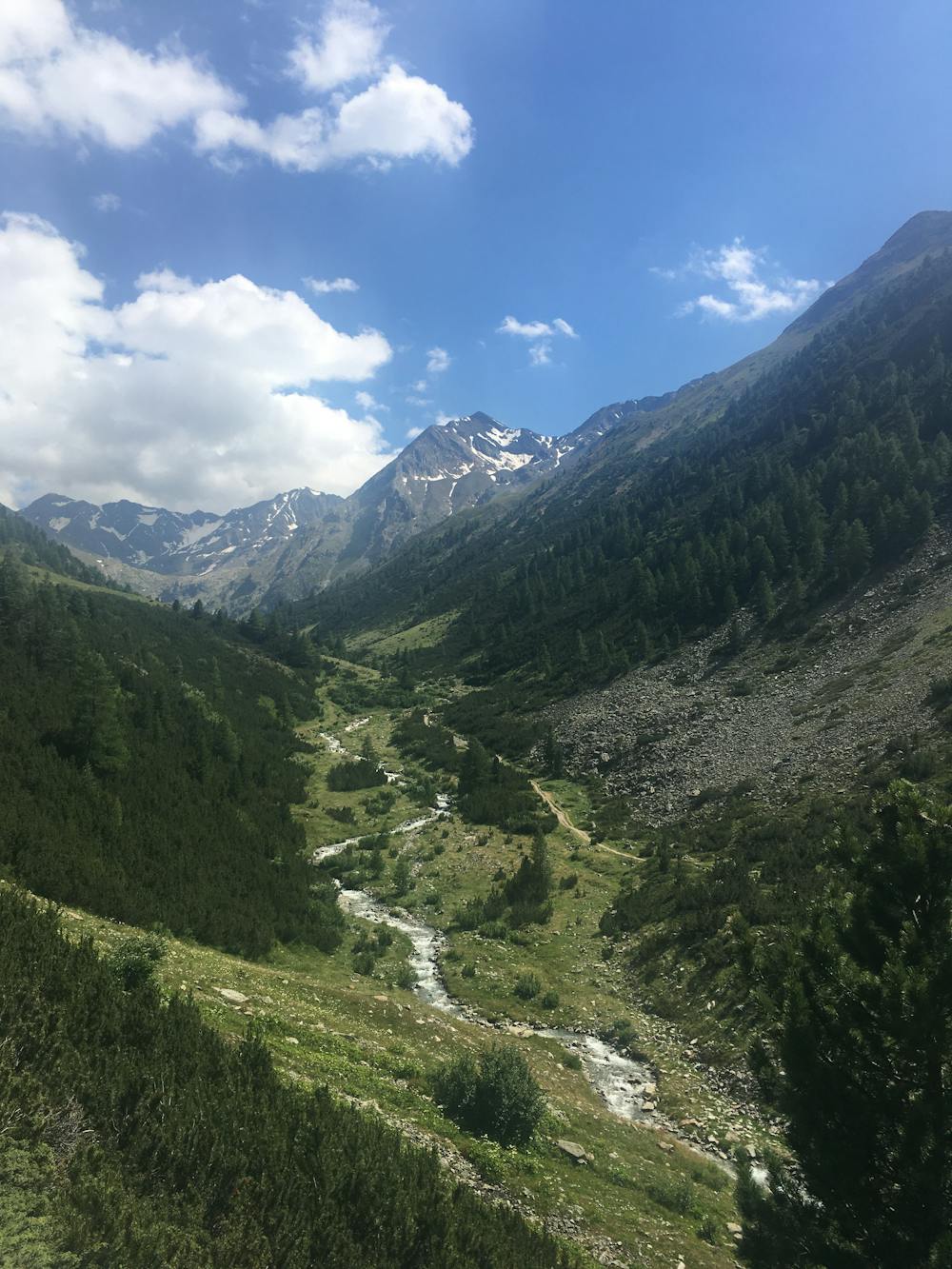
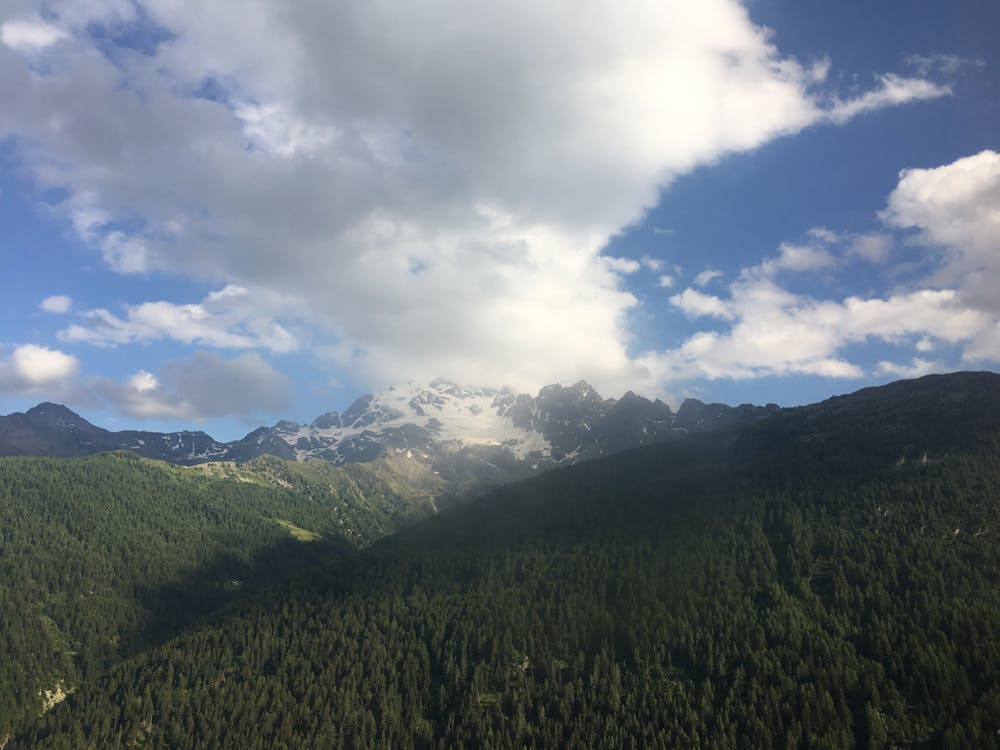
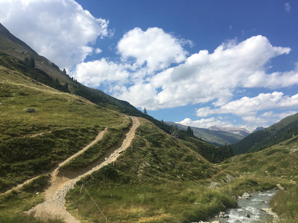
Val delle Mine Loop
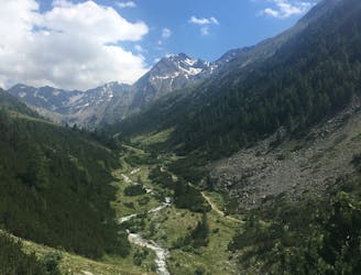
Discover one of Livigno's most charming valleys.
Moderate Trail Running
- Distance
- 4.3 km
- Ascent
- 234 m
- Descent
- 234 m
Choose this route for a longer run taking you to three very different but all very beautiful natural attractions in Livigno.
Trail Running Moderate

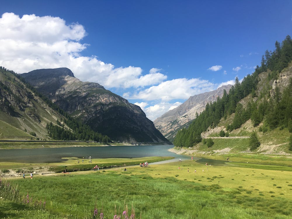
From the car park P6 just south of Livigno centre, follow the signs for `L’AL m 1900’ which takes you up the 119 route, its gravel track by the side of a white church up through a forest. The path quickly leaves the forest, opening out into a clearing where you get fantastic views of the San Rocca area. Follow signs for the Val delle Mine refuge. Just before you reach the refuge turn left off the 119 and onto the 121 track. This section skirts just above a beautiful larch forest before descending to the valley floor. You should find yourself at the south shore of Lake Livigno. Cross the river and follow the shoreline in a clockwise direction along the 180 path to Ristoro Fopel and car park P1. From here you can take the free bus back to the centre of Livigno.
Moderate

The path is on completely flat land and potential injury is limited to falling over.
Close to help in case of emergency.
6 m away
Discover one of Livigno's most charming valleys.
Moderate Trail Running
3.1 km away
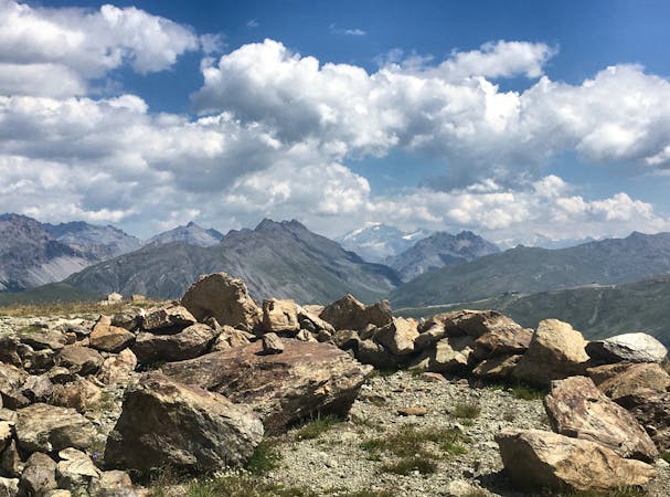
A long distance loop trail which is part of Livigno's hight altitude Run Park.
Difficult Trail Running
5.8 km away
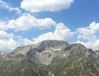
A high altitude run through a forest on the Vetta Blesaccia mountain.
Difficult Trail Running
5 routes · Trail Running