3.8 km away
Alta Via 2 - Rifugio Treviso to Passo Cereda

A never-ending section of the AV2!
Severe Hiking
- Distance
- 7.7 km
- Ascent
- 746 m
- Descent
- 996 m

Prepare the mind, body and soul for 1300m of descent!
Hiking Extreme

Starting Location: Rifugio Pradidali Ending Location: Rifugio Treviso Optional Routes: (A) To avoid massive descent to Rifugio Treviso Regional Map: Tabacco Map 022 Path Numbers: 709, 711, 711A Places to eat/drink on route: None
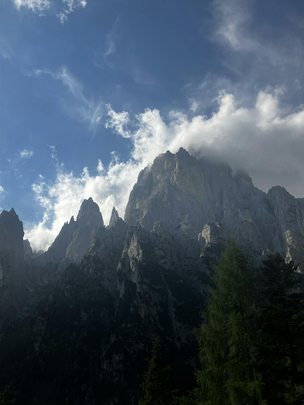
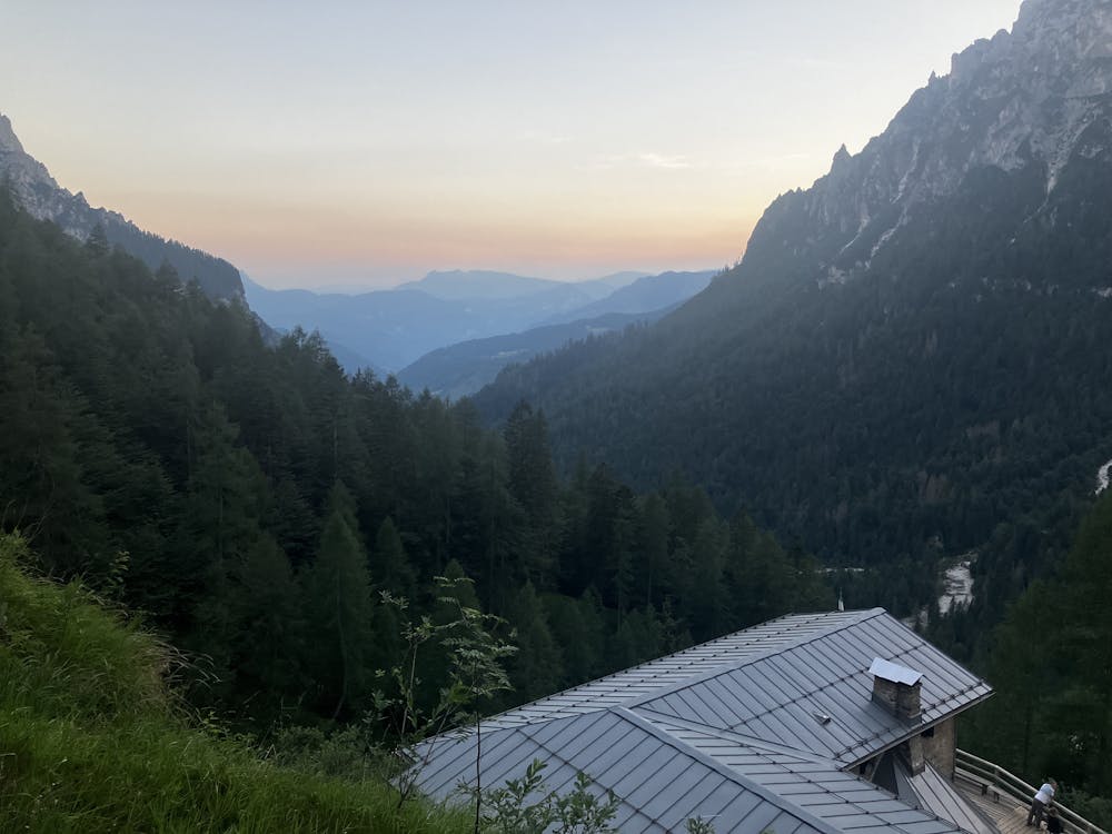
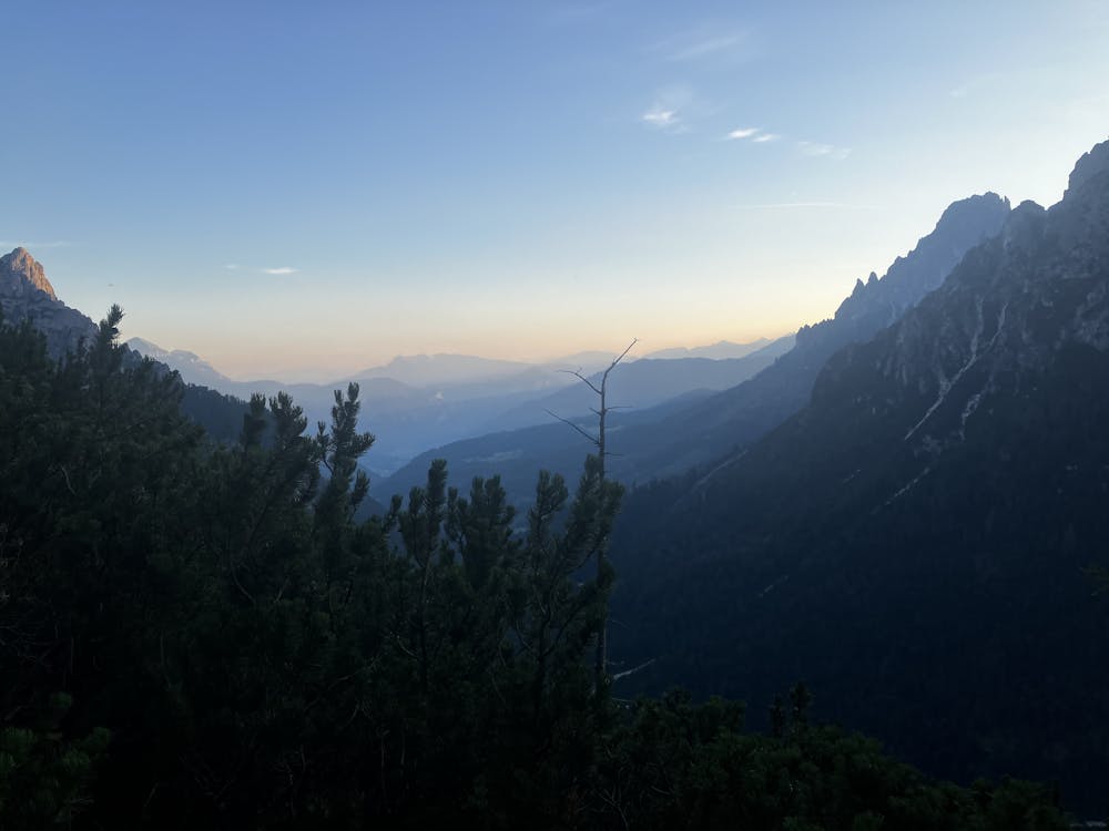
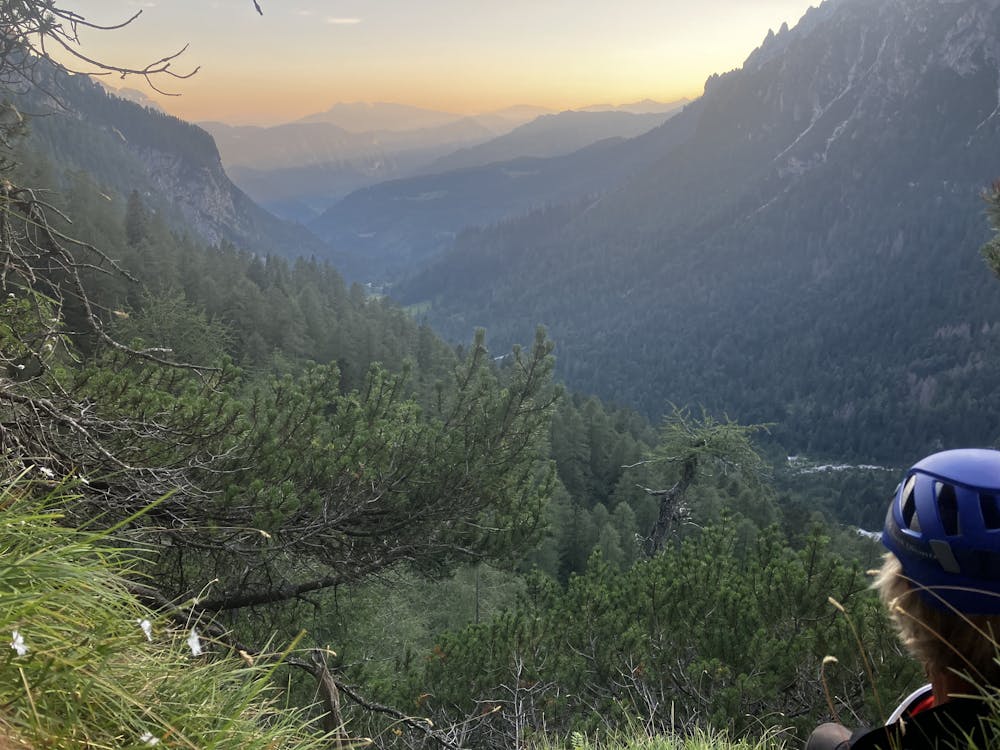
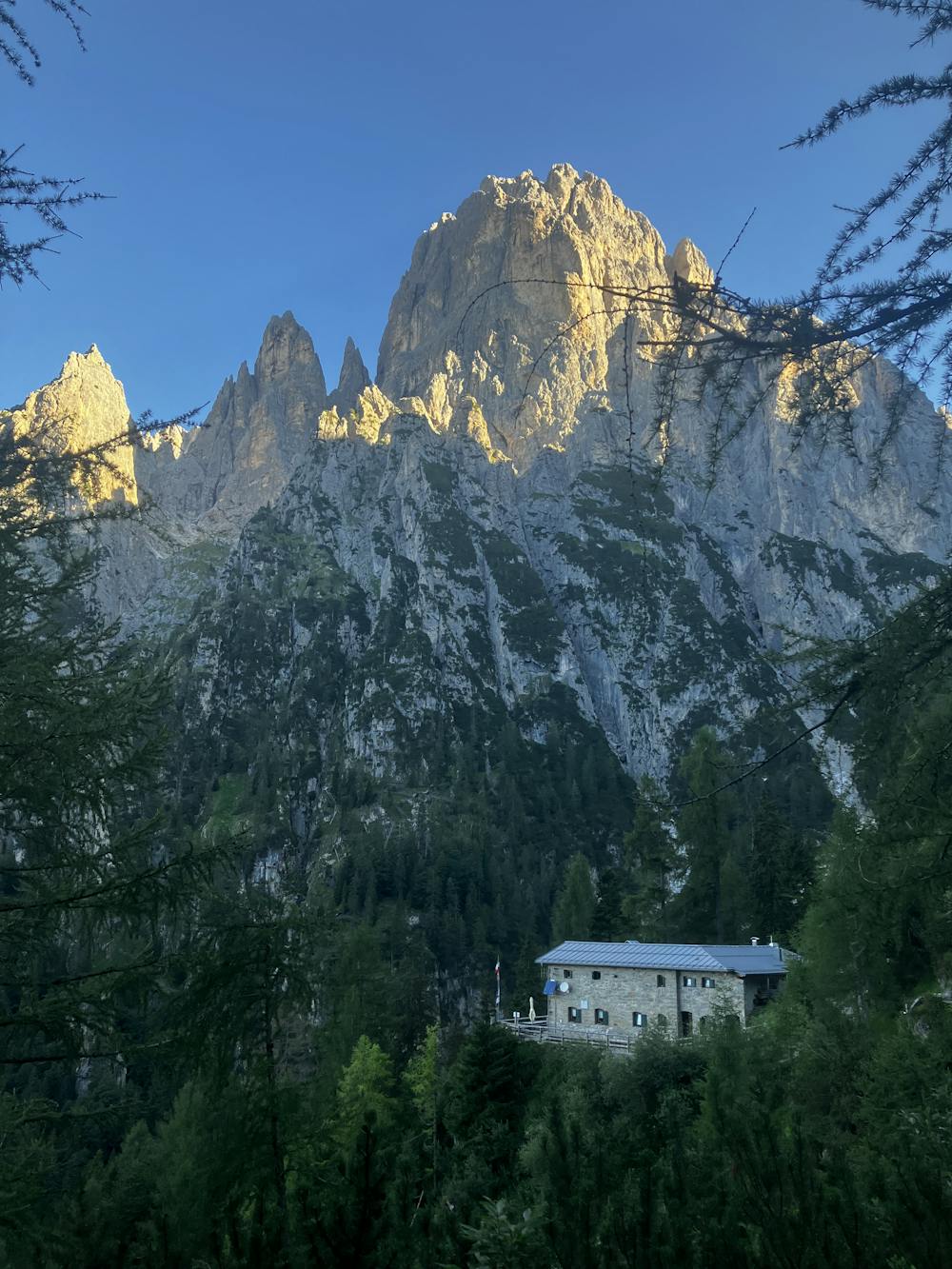
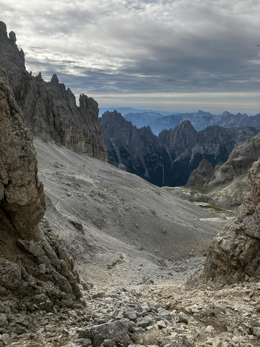
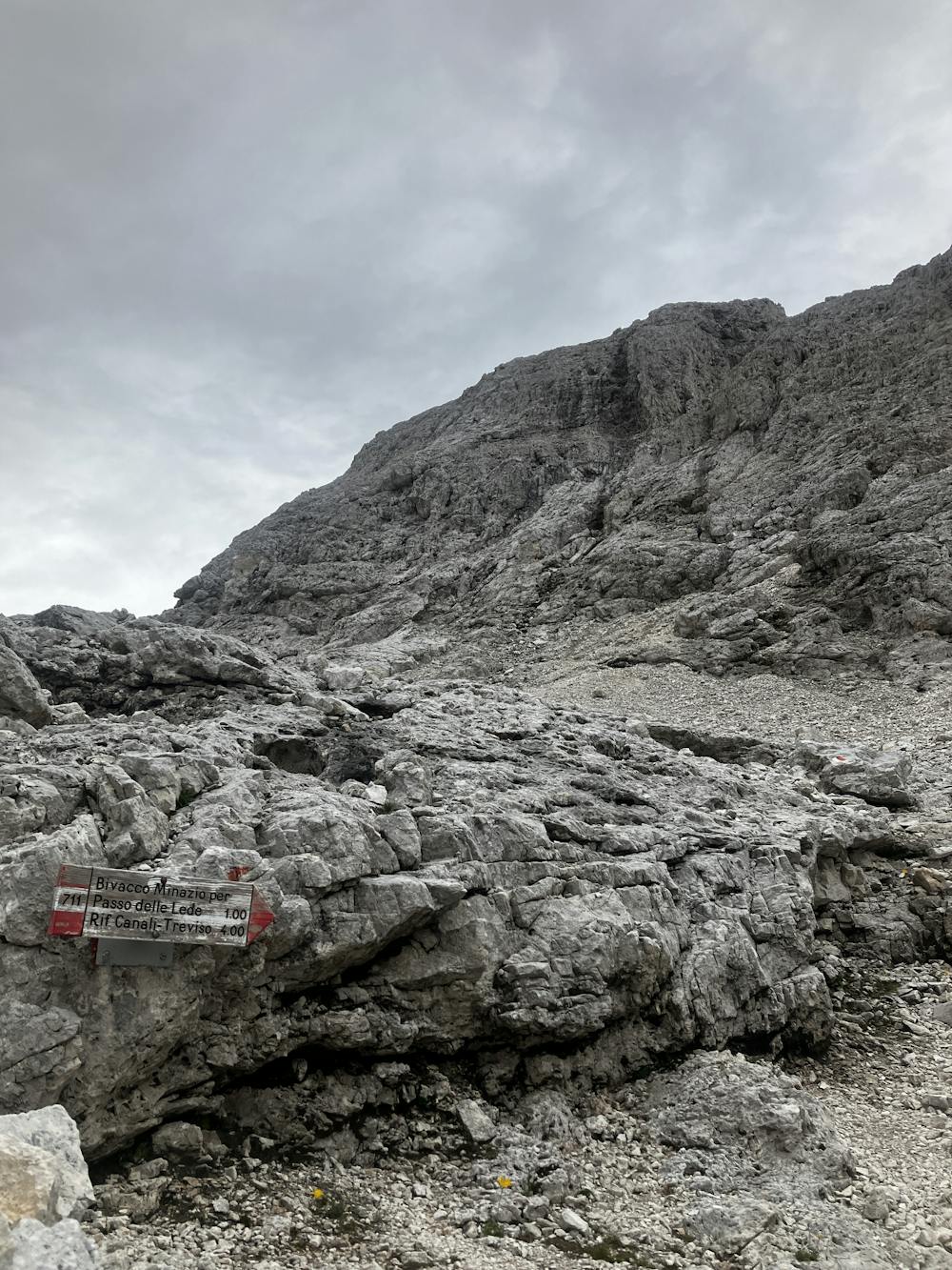
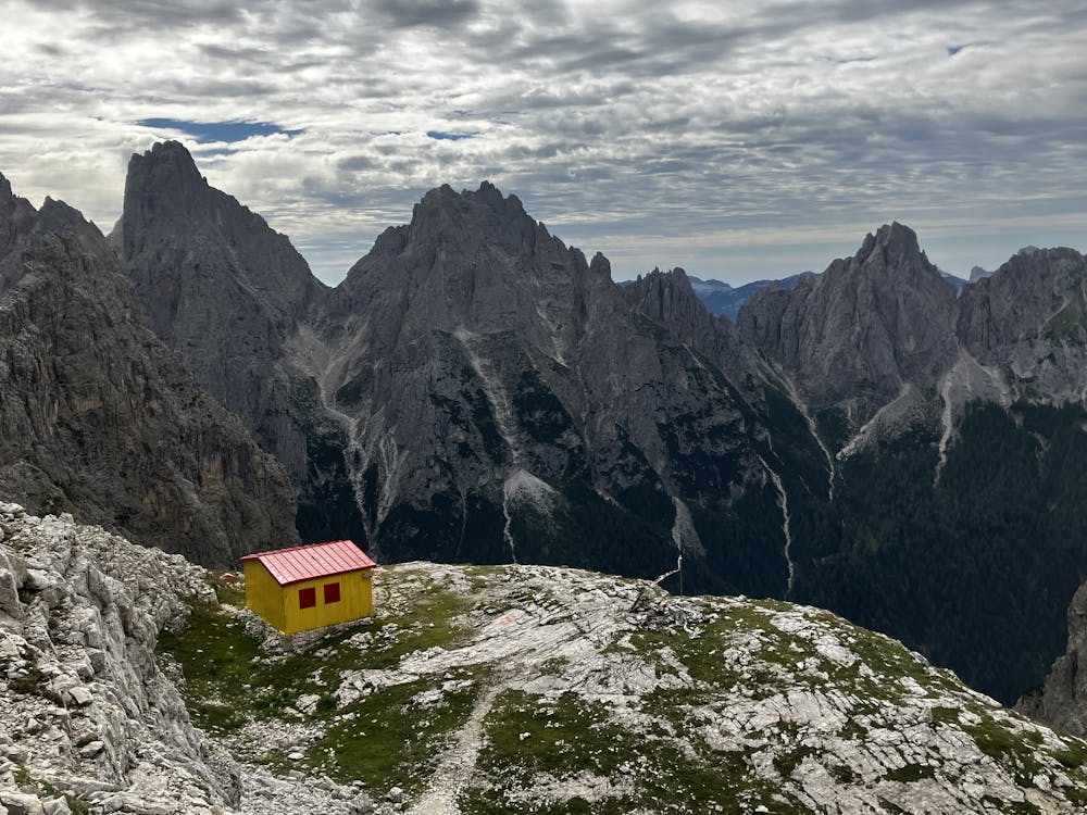
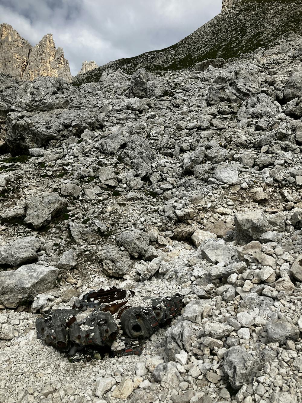
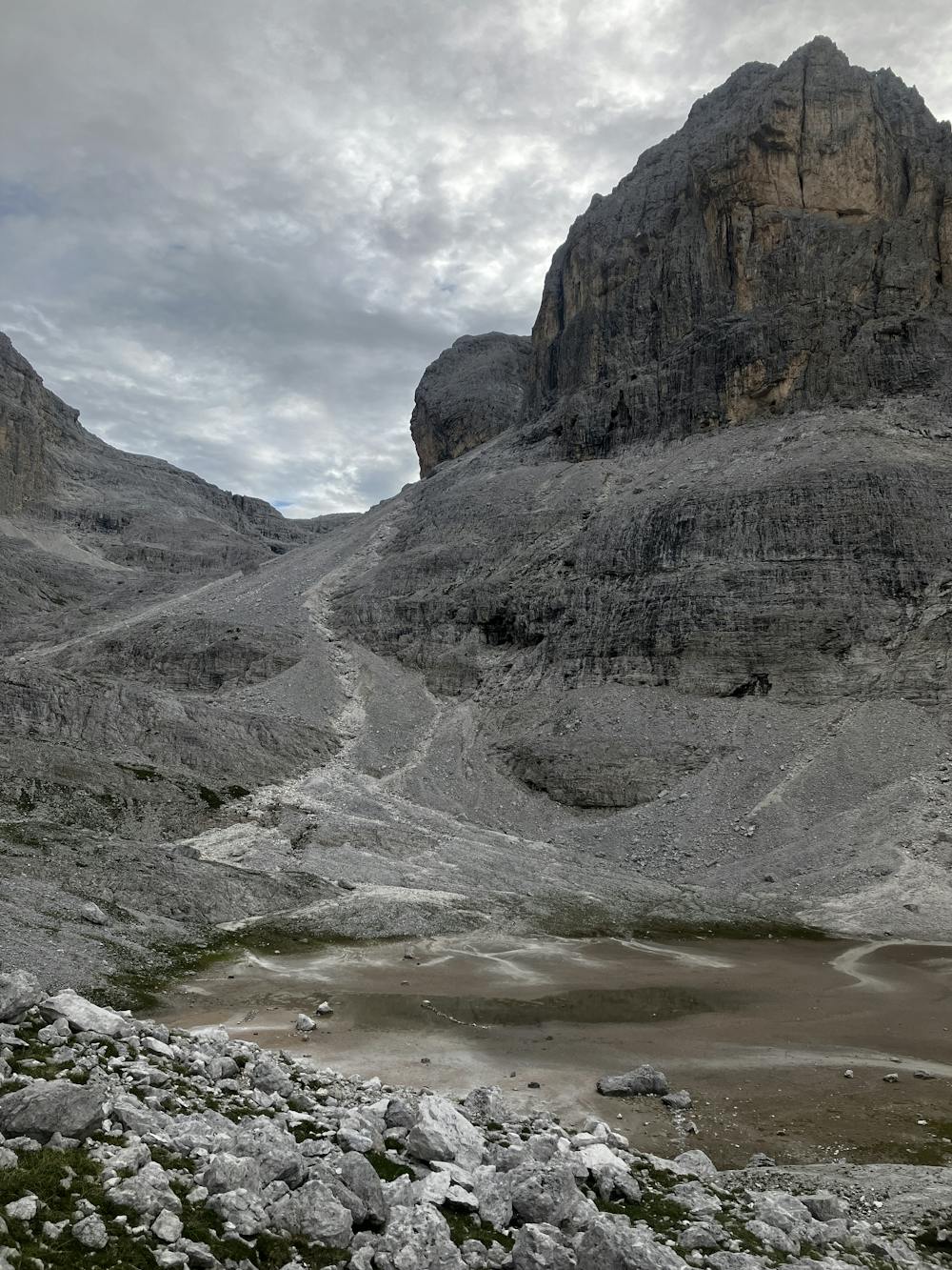
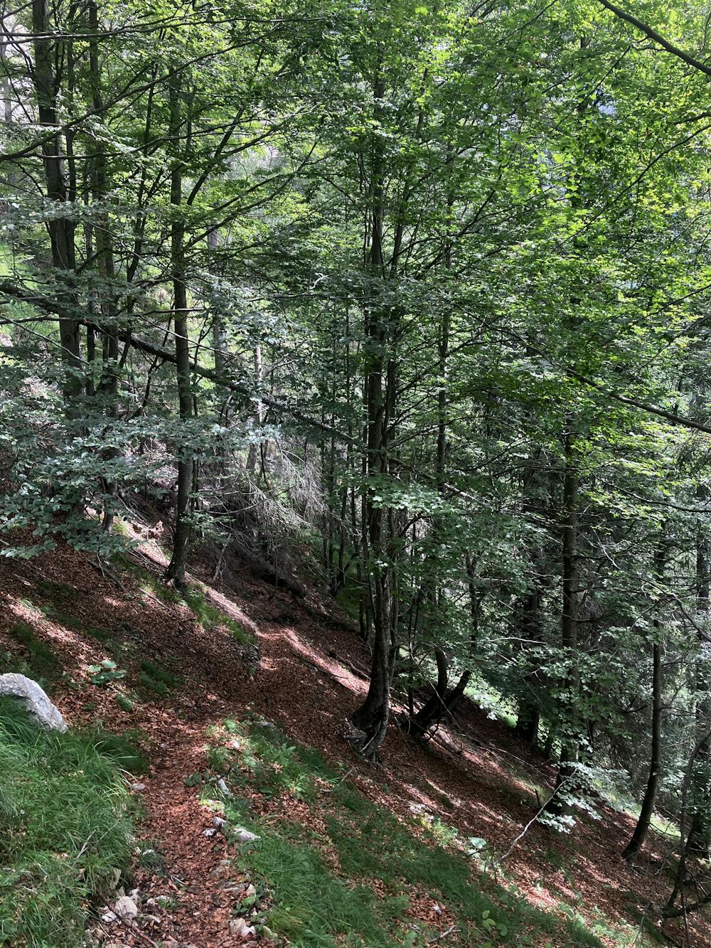
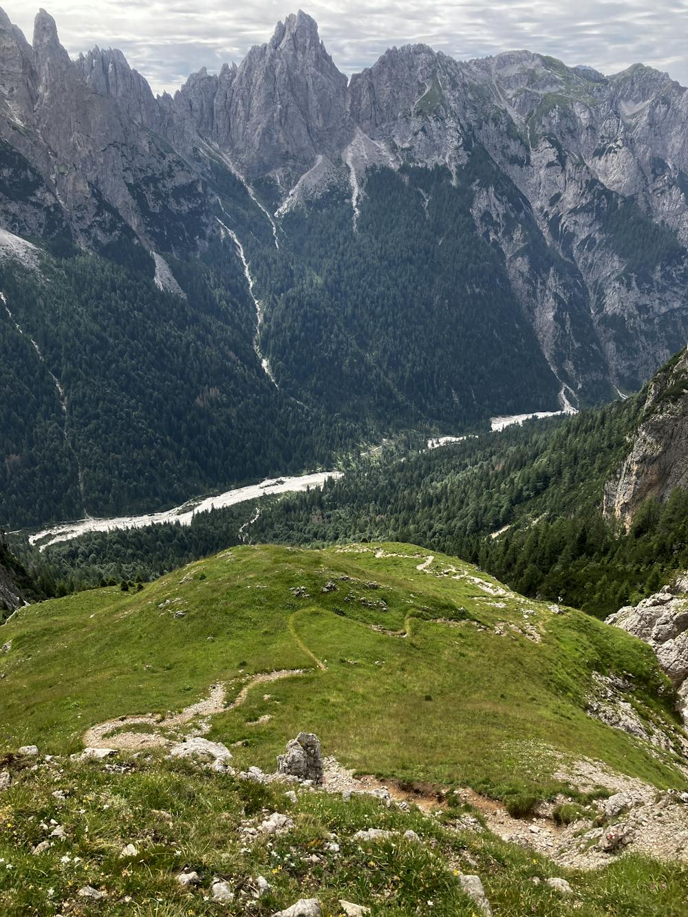
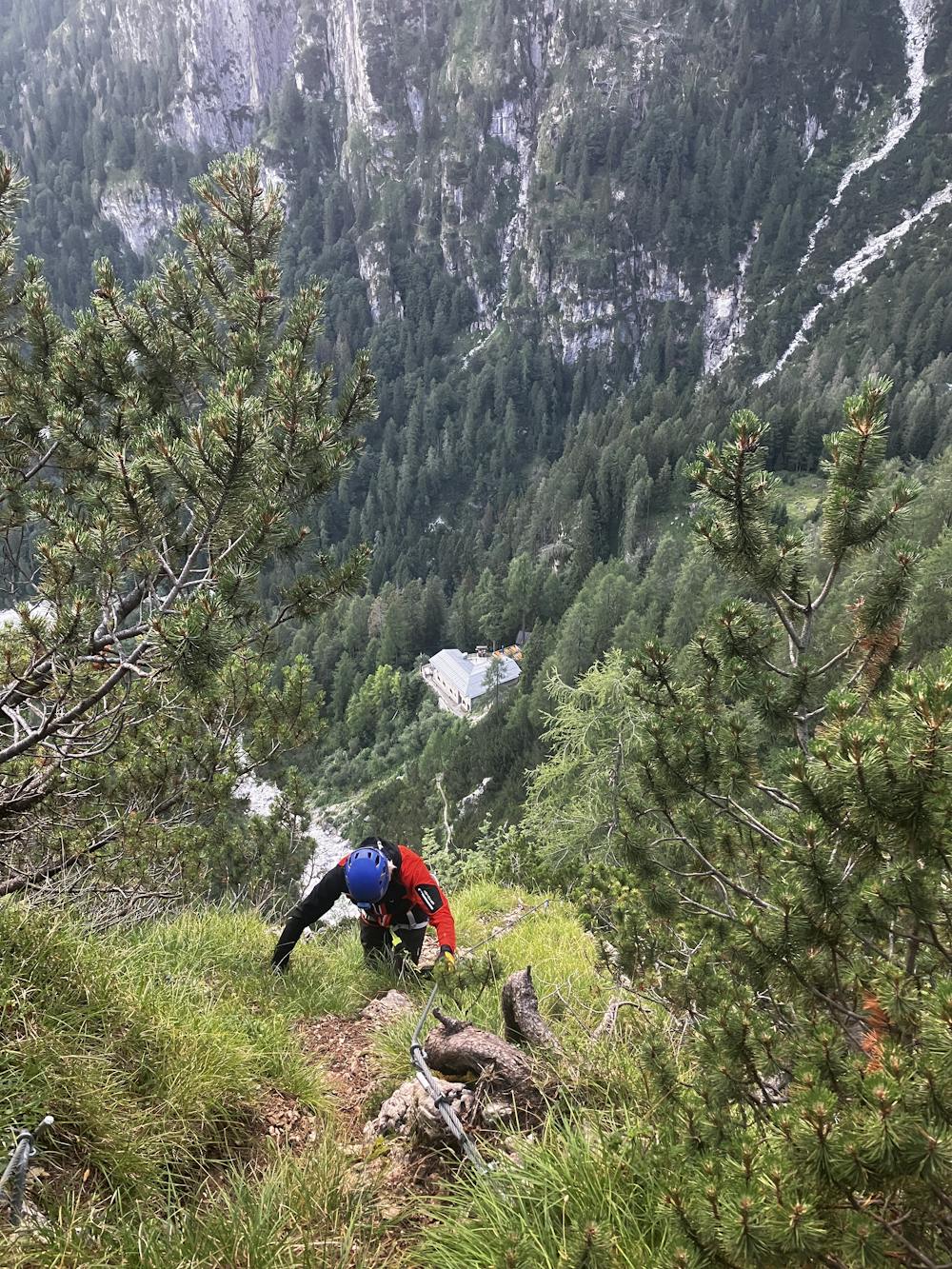
It’s routes like these where you start to question why you do this activity, as 1300m of descent from Rifugio Pradidali to Rifugio Treviso can have even the most hardcore mountaineers questioning life. Alas, the sooner you start the sooner you finish so better just suck it up!
Optional Route (A) – Now I would not be doing a very good job if I didn’t give you the option to save your knees from any future surgical operations. Head directly downhill and south on path 709 as it zig-zags down towards Rifugio Cant del Gal. From here, take the alternative route heading northeast on path 707 to make your way up the valley to Rifugio Treviso.
For those who want new knees, take path 709 north up the valley with a climb through a boulder field before turning right on path 711. This section involves some via ferrata that takes you up to towards Passo delle Lede at 2,695m. Start doing some yoga now as the 1300m of descent awaits you. The path is steep and in certain areas a fall would be fatal. The path eventually enters the treeline where it veers left onto path 711A. Follow this path down to the bottom of the valley, swim in the river and make the short ascent up the other side to Rifugio Treviso.
Once at Rifugio Treviso, do some more yoga to locate where your knees might have gone. For those with some energy left in the tank, a short via ferrata Del Canalone is a fun little evening trip. The GPX file gives a rough guide but not a step-for-step guide so route finding here is a must. The via ferrata will take you around 45-60 minutes to complete and the crux is a vertical section comprising of ladders and areas without many holds. The people that work in Rifugio Treviso are helpful and friendly, chat to them about the route. For more information on via ferrata Del Canalone, see below:
https://www.ferrate365.it/en/vie-ferrate/ferrata-del-canalone-rifugio-treviso-punta-disperazione/
Rifugio Treviso https://www.caitreviso.it/rifugi/rifugio-treviso/
This hike and guide were completed during summer weather conditions. This is just one opinion of this route. Make sure to do your own research by consulting internet resources, guidebooks or mountain guides to evaluate other opinions so you can be best prepared for the terrain.
A Guide by Red
Extreme
Scrambling up mountains and along technical trails with moderate fall exposure. Handholds are necessary to navigate the trail in its entirety, although they are not necessary at all times. Some obstacles can be very large and difficult to navigate, and the grades can often be near-vertical. The challenge of the trail and the steepness of the grade results in very strenuous hiking. Hikes of this difficulty blur the lines between "hiking" and "climbing".
3.8 km away

A never-ending section of the AV2!
Severe Hiking
7.6 km away
A moderately hard day with some tiresome ascents and steep descents!
Extreme Hiking
11 routes · Hiking