3.8 km away
Alta Via 2 – Rifugio Pradidali to Rifugio Treviso including Via Ferrata Del Canalone
Prepare the mind, body and soul for 1300m of descent!
Extreme Hiking
- Distance
- 7.9 km
- Ascent
- 887 m
- Descent
- 1.5 km
A never-ending section of the AV2!
Hiking Severe

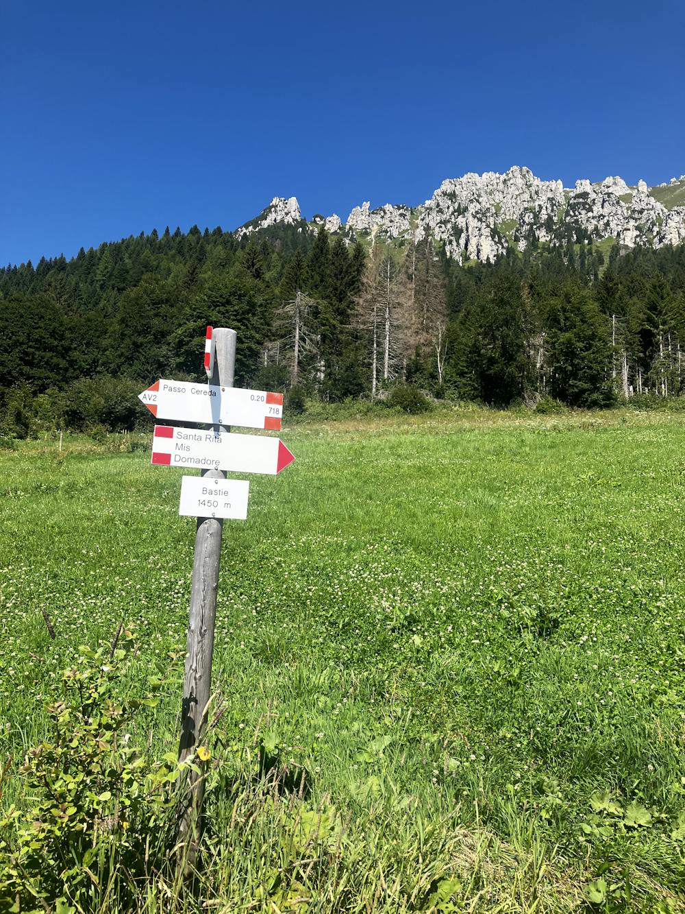
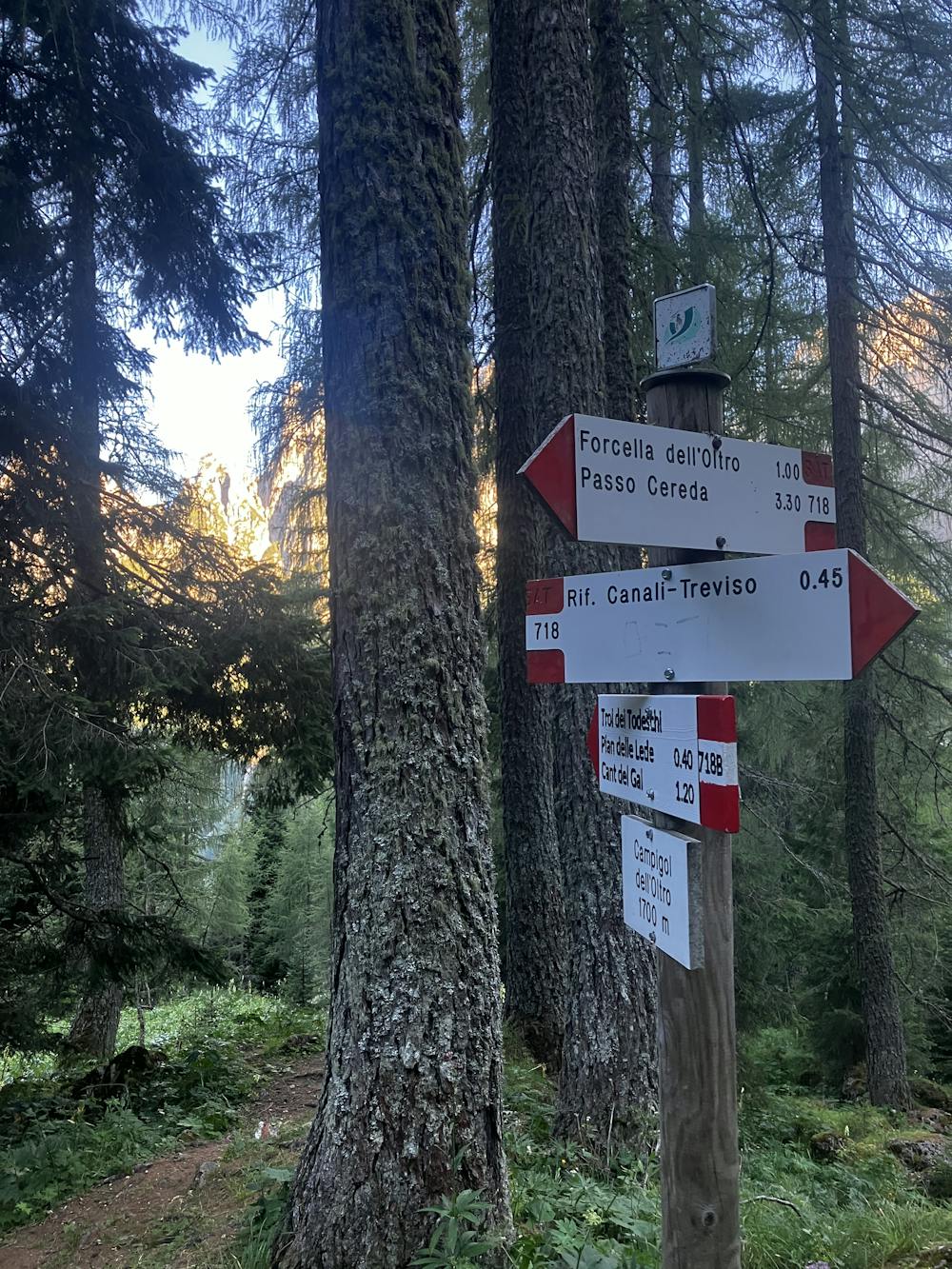
Starting Location: Rifugio Treviso Ending Location: Passo Cereda Optional Routes: (A) To avoid the massive traverse to Passo Cereda Regional Map: Tabacco Map 022 Path Numbers: 718 Places to eat/drink on route: None
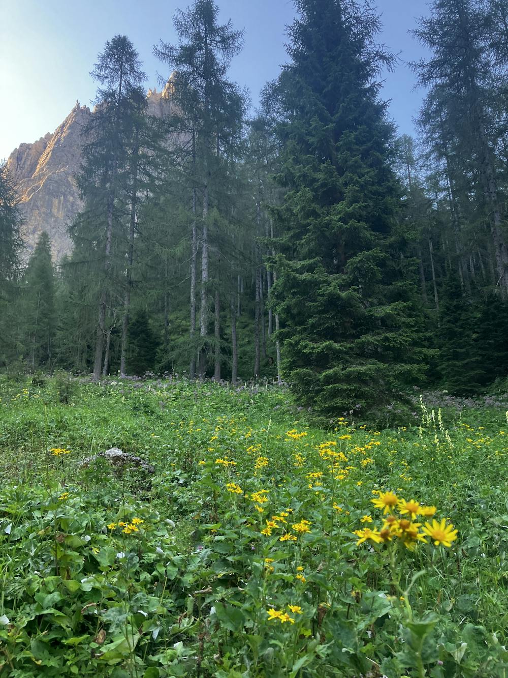
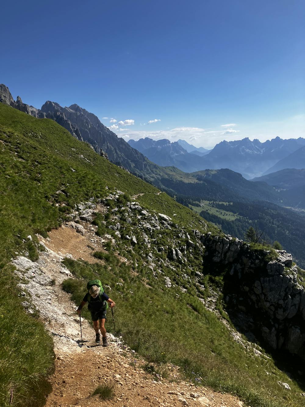
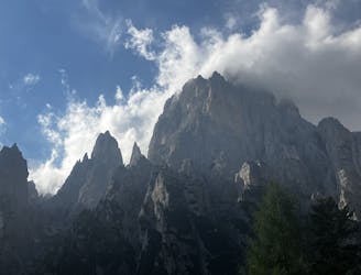
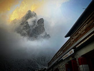
After the night at Rifugio Treviso, the path enters some wild terrain for the day. It’s nothing you haven’t seen before on the AV2 but at this point sensible decisions need to be made as to whether your hiking party is ready for a steep ascent, monster traverse and another unfriendly descent down to Passo Cereda.
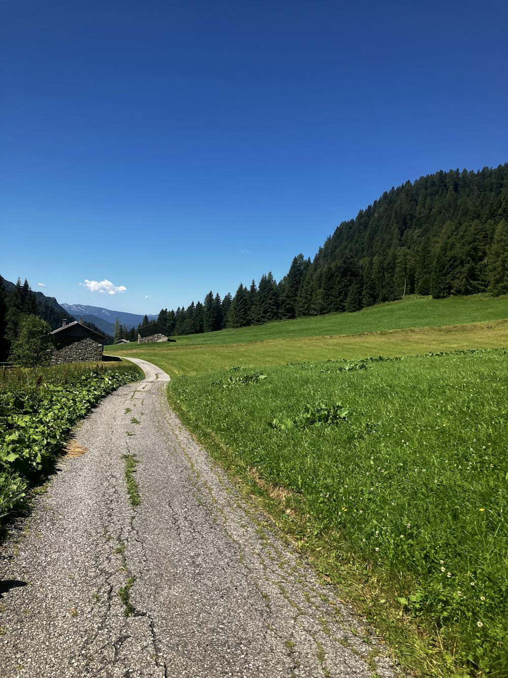
Optional Route (A) – For those with no knees left and are definitely not up for the above, head directly down from Rifugio Treviso and take path 707 south towards Rifugio Cant del Gal. Here it is possible to catch the bus to reach various locations within the area.
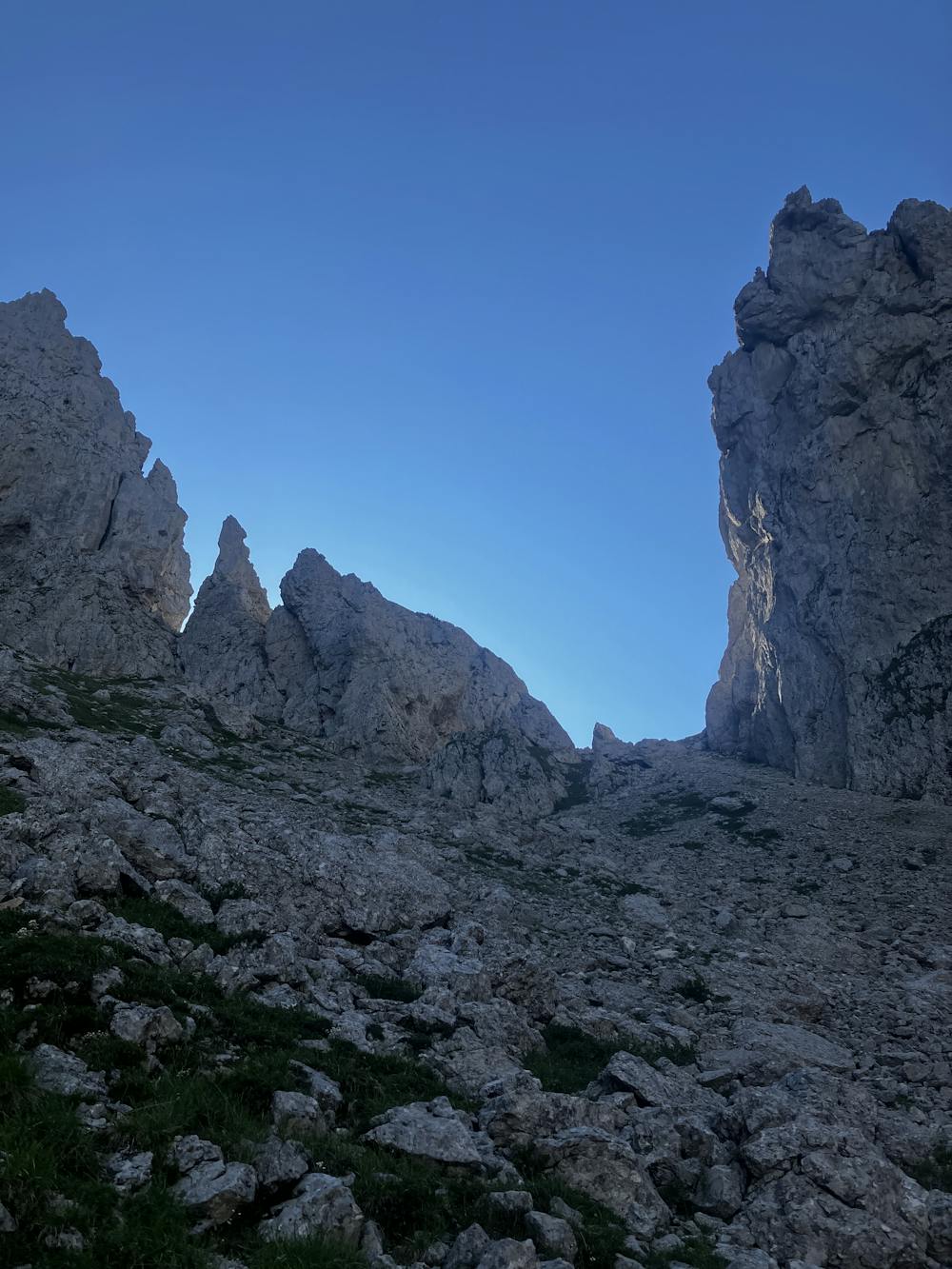
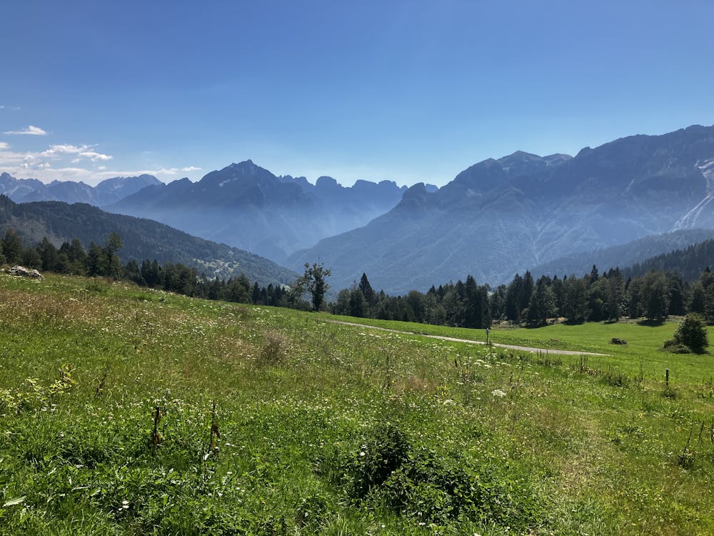
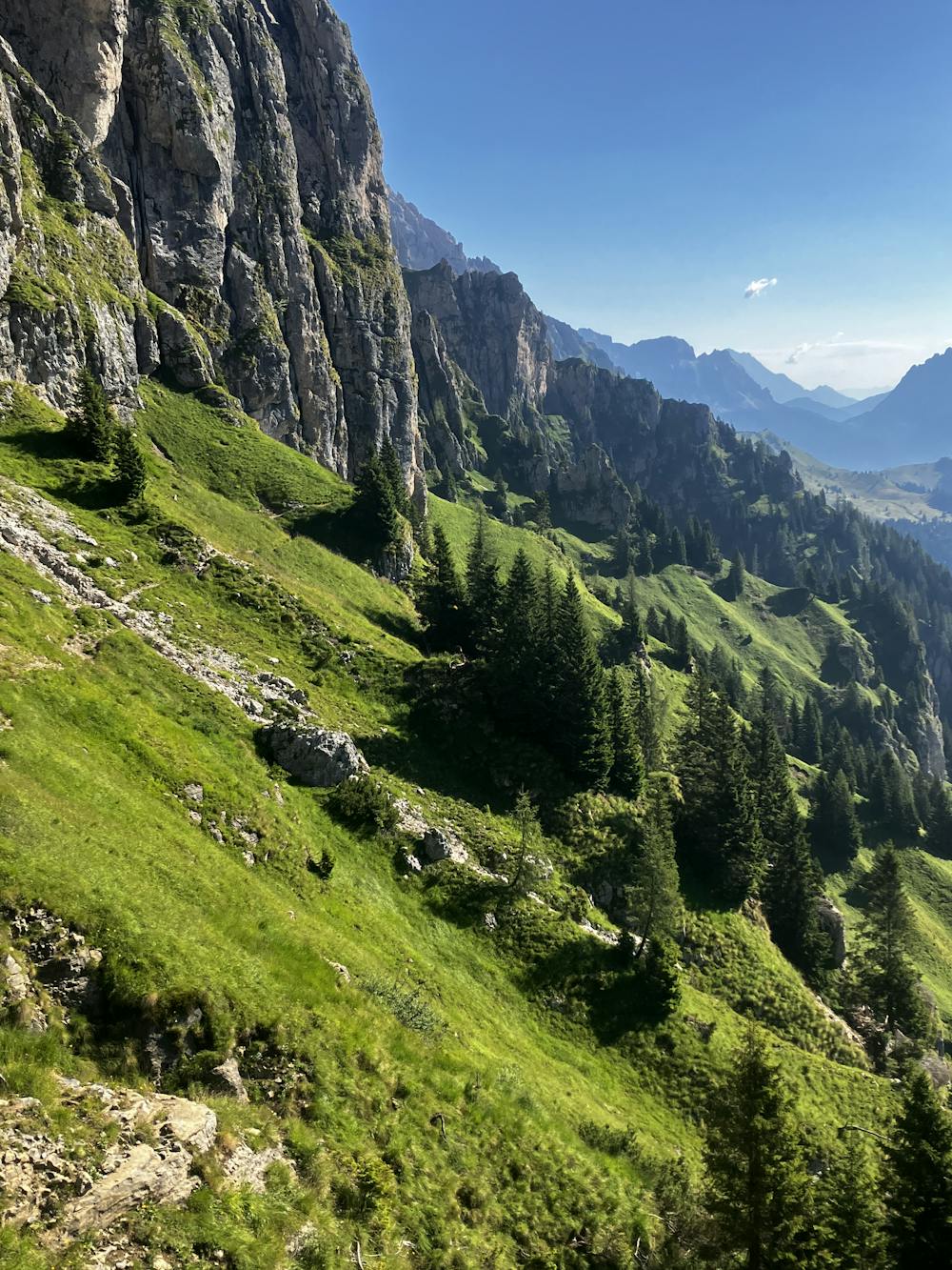
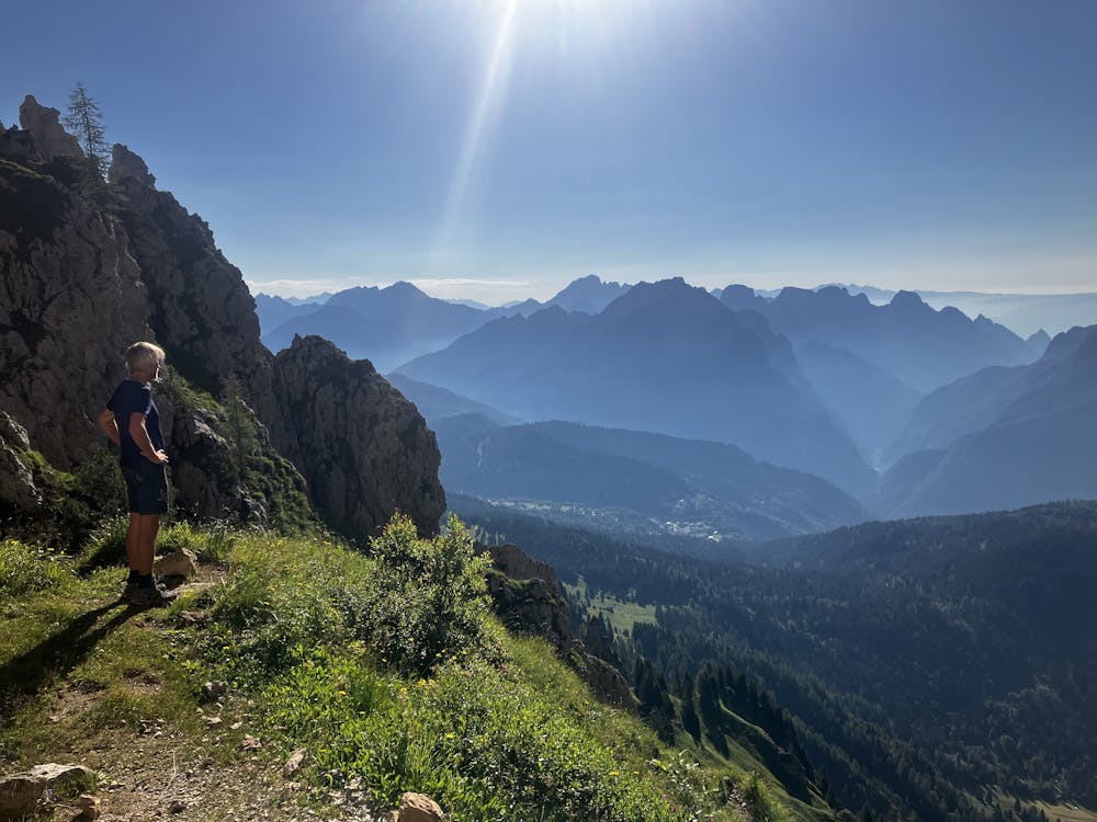
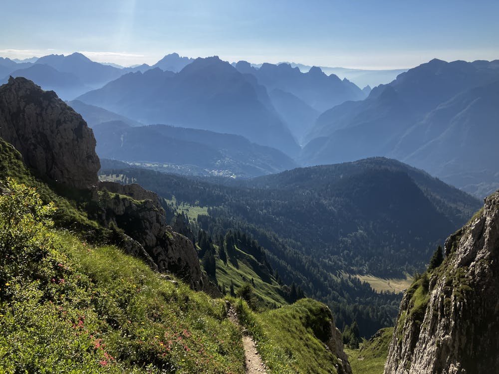
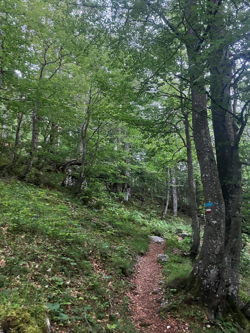
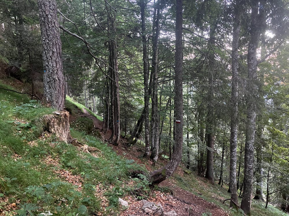
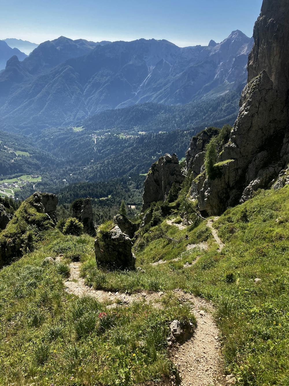
For those who want to finish strong with a struggle, take path 718 path that traverses south through beautiful woodlands. Follow the GPX file as it turns left to start the moderately long climb up towards Forcella d’Oltro at 2,229m. The view here is one of the best in the Dolomites, showcasing the end of Dolomiti rock where the grey meets the green.
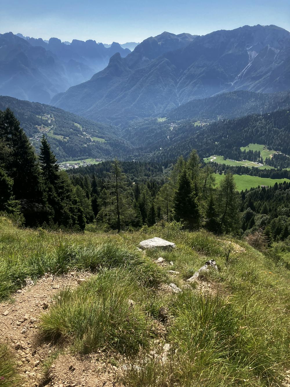
Descend sharply on an eastly bearing before snaking right to start the traverse that seems to never end. A word of warning, in full blown sun this area becomes very, very hot. If the wind is light and water is scarce this area becomes a cauldron of heat for some reason. Once you’ve reached the never-ending traverse, you start the never-ending descent which can be just as horrible as yesterday’s 1300m descent.
After what feels like days you eventually reach a road in which you turn right, followed soon by a left to end up at Passo Cereda. This area contains Rifugio Cereda as well as a bus stop for exit links to nearby towns allowing you to connect to other destinations.
This hike and guide were completed during summer weather conditions. This is just one opinion of this route. Make sure to do your own research by consulting internet resources, guidebooks or mountain guides to evaluate other opinions so you can be best prepared for the terrain.
A Guide by Red
Severe
Hiking challenging trails where simple scrambling, with the occasional use of the hands, is a distinct possibility. The trails are often filled with all manner of obstacles both small and large, and the hills are very steep. Obstacles and challenges are often unexpected and can be unpredictable.

Some trail sections have exposed ledges or steep ascents/descents where falling could cause serious injury.
Little chance of being seen or helped in case of an accident.
3.8 km away
Prepare the mind, body and soul for 1300m of descent!
Extreme Hiking
9.7 km away
A moderately hard day with some tiresome ascents and steep descents!
Extreme Hiking

11 routes · Hiking